Southern California may be sunny and temperate most of the time, but monitoring the weather is a full-time job. And then, sometimes, it’s much more.
On a typical day, National Weather Service meteorologist Rose Schoenfeld will work an eight-hour shift, spending her time preparing forecasts for mariners, pilots and airports and fielding some calls from media and the public.
With Hurricane Hilary barreling toward Southern California out of the south, Saturday was anything but a typical day.
In light of the region’s unprecedented tropical storm warning, Schoenfeld, who works at the National Weather Service’s Oxnard office, planned to put in a nearly 12-hour day answering the constantly ringing phone lines to provide information to government agencies, emergency mangers, media and the public. That came on top of a 12-hour day she worked on Friday, and another long shift ahead on Sunday, when the brunt of the storm is expected to hit.
“It’s really a once-in-a-lifetime kind of meteorological event,” said Schoenfeld, who has been with the weather service since January. “So it’s really, definitely something that I think all of us will remember for our careers as a notable moment.”
Schoenfeld agreed to let a Times reporter shadow her for most of the day. Below, some snapshots.
BUSINESS
What do you do for work?
That’s the question My L.A. Workday answers. The series takes you inside a day on the job with some of the city’s most fascinating people. Interviews are edited for length and clarity.
8 a.m.
Gearing up for the day
Even on days when the weather isn’t making history, Schoenfeld tries to prepare for work the night before. That means gathering together her lunch or dinner for the day and packing her bags, so in the morning, she can roll out of bed, get dressed and get right to work. She waits to make her coffee until she gets into the office. On Saturday, she woke up at 8 a.m. Pacific time to get into the office before her 9 a.m. start time.
9 a.m.
Arriving at the office and getting up to speed
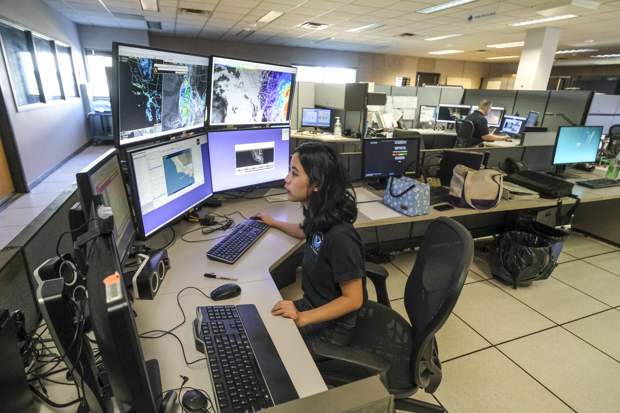
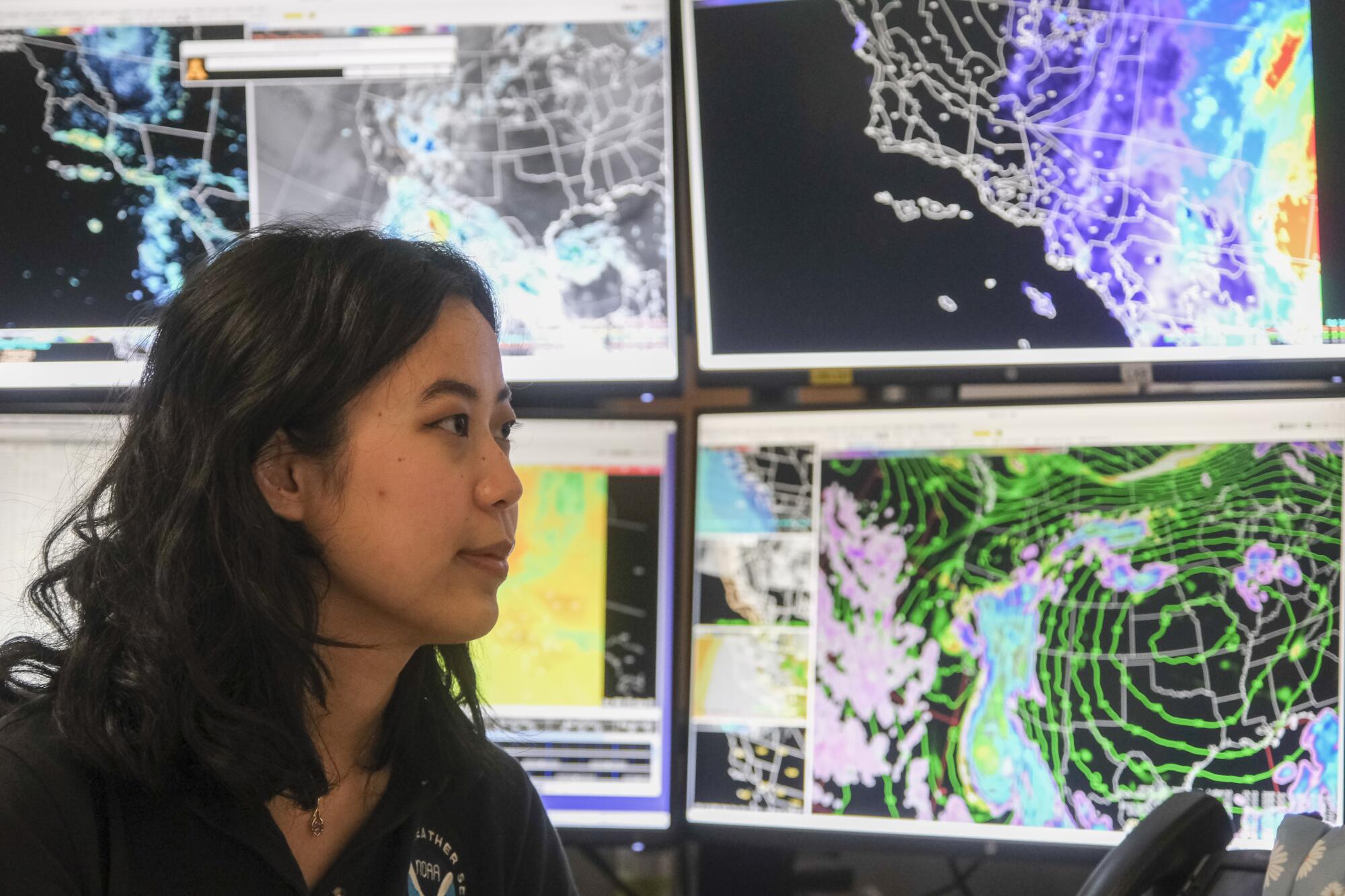
Upon arrival, Schoenfeld logs in and checks her six different screens — four of which are showing maps of the region and the changing meteorological conditions. Her co-workers are already busy doing media interviews or tracking the approaching hurricane.
She checks email, Slack, the National Weather Service website, updates from the National Hurricane Center and other agencies to make sure she’s up to date on what’s happening.
The office environment is calm and collegial, with meteorologists sharing tips as they gather around screens to watch the latest storm progress and divvying up duties.
“We have a lot of partner agencies like emergency management that want as much support as possible, so we we need to staff up to have people to go to those calls and keep working on the forecast and monitoring the system,” Schoenfeld said.
10 a.m.
Making and posting graphics on social media
Those viral weather service infographics you see on Twitter and Facebook during big weather events? Schoenfeld and her colleagues are responsible for posting those on the agency’s Los Angeles accounts. At the moment, the focus is on telling people how to stay safe in flood conditions.
“It’s definitely a big hazard around here because our infrastructure is not super suited for large amounts of water,” she says. “I mean, even just a little bit of rain and it seems to be kind of [wet] on the road, right?”
“Getting stuff out like this just helps amplify our message. It’s about getting engagement, getting our message out and helping people to stay safe. And even if we don’t reach people directly via Twitter, we can also reach them through media partners.”
12:30 p.m.
Fielding a call from the public
By midday, Schoenfeld has answered the National Weather Service’s phone line multiple times, whether it’s reporters asking about the storm’s progress, government agencies calling for data or members of the public asking for advice. In this case, the caller wanted information about what road and weather conditions would be like on Monday, when they were planning to travel from Arizona to California.
Over the course of the day, Schoenfeld will field no less than 15 calls.
Answering public calls is “kind of in the spirit of being a public agency,” she said. “When it’s busy like this, and we have so much going on, most people in this field really kind of live for the moments where we have active weather happening and [we] need to step up and all hands on deck.”
2:43 p.m.
Monitoring a fire and putting together a ‘spot’ forecast
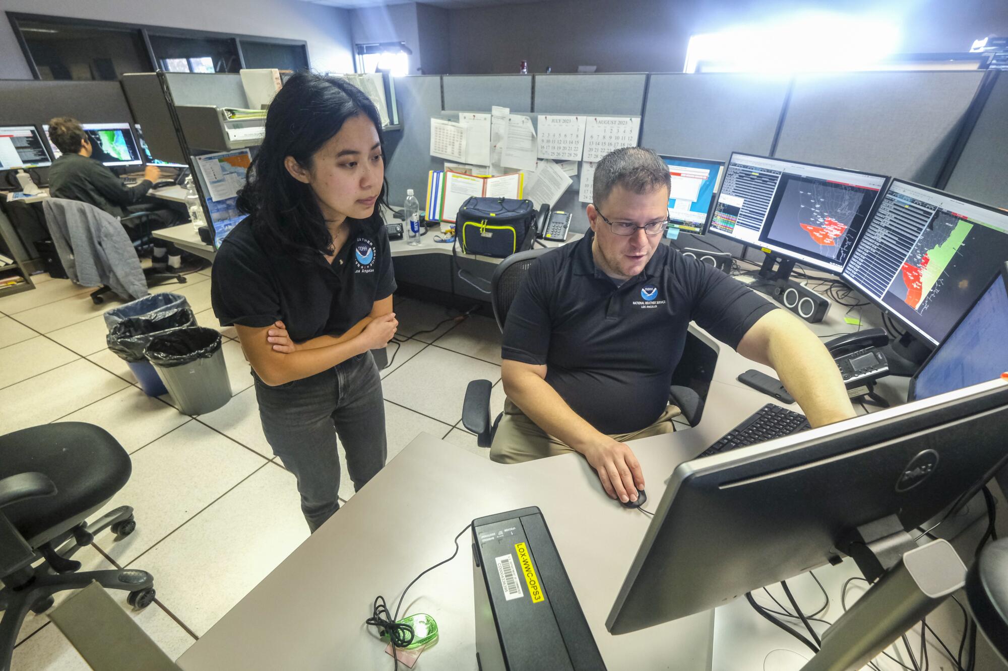
About halfway through her shift, there’s news of a wildfire in Cuyama Valley in Santa Barbara County. So-called “spot” forecasts of specific events, such as wildfires, are important because high wind conditions like the ones coming with the tropical storm can propel fires.
This is a top priority, and Schoenfeld will temporarily cede her job answering calls to finish up work on this forecast and getting it to the relevant public agencies.
4 p.m.
Briefing with Ventura County officials
Between county, city and media briefings, there are too many for any one person to field; it’s all about delegating. Schoenfeld takes the call with Ventura County’s Office of Emergency Services, in which she gives an update on changes to the storm’s progress.
Heading into the early evening, it’s looking like stronger winds from the storm will probably hit Ventura County around Sunday afternoon. The rain threat is about the same as the last update, with 1 1/2 to 3 inches of rain in most areas.
“Treat this a bit like a thunderstorm,” she says on the call.
As the call wraps up, a pizza order is placed for all six people in the office. It’s going to be a long night.
More to Read
Inside the business of entertainment
The Wide Shot brings you news, analysis and insights on everything from streaming wars to production — and what it all means for the future.
You may occasionally receive promotional content from the Los Angeles Times.
