Bobcat fire mushrooms, doubling in size in one day in San Gabriel Mountains
- Share via
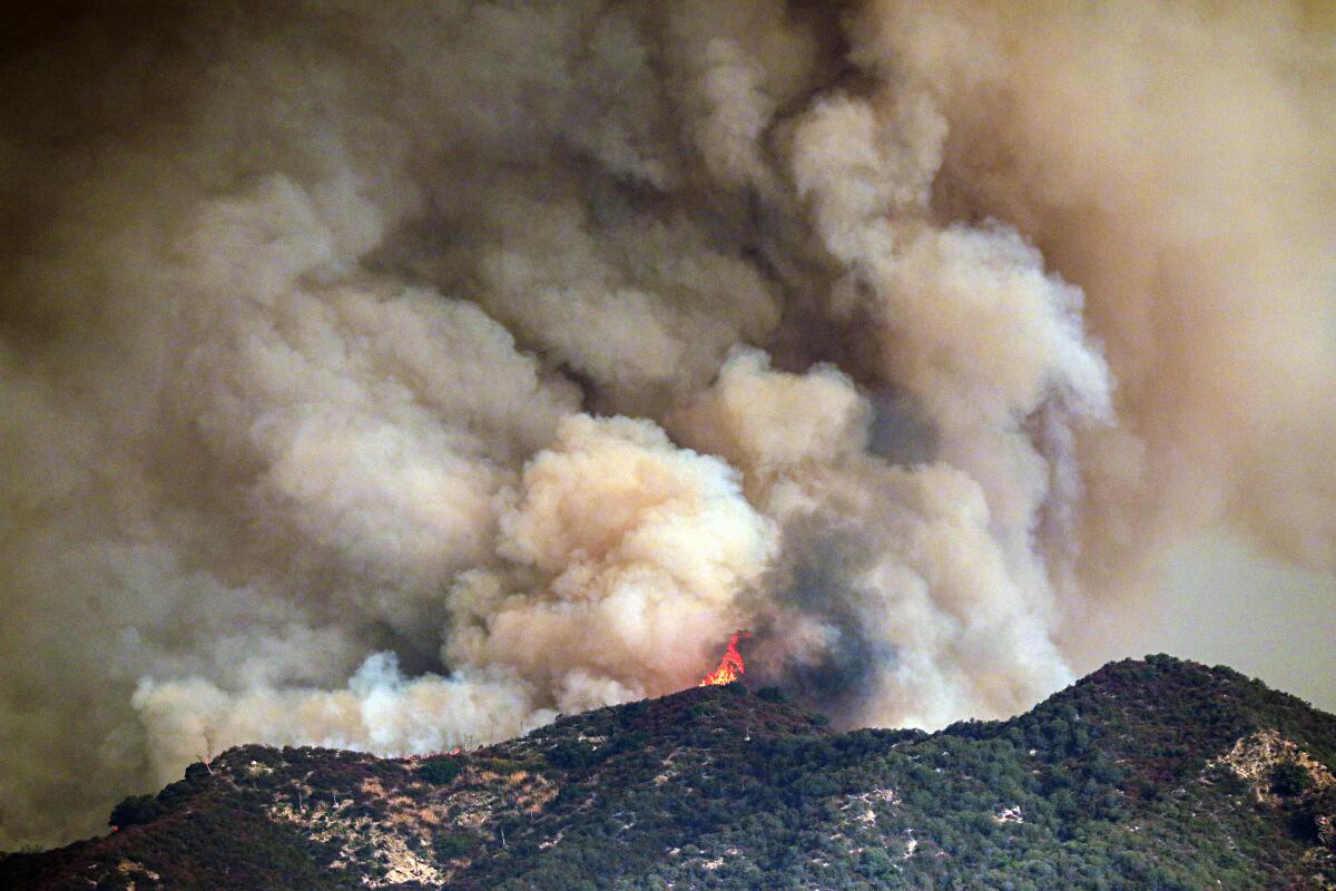
Santa Ana winds continued to fuel the Bobcat fire in the Angeles National Forest on Thursday night, but much of the fire’s growth pushed northeast. away from foothill communities — a relief to residents who have been under evacuation warnings for up to two days.
The blaze that started Sunday above Azusa had doubled in size in one day, growing to more than 23,000 acres with 6% containment. Winds still drew the flames east across Highway 39. To the west, the blaze burned toward an old burn scar, creating a less intense fire fight, according to an incident report.
“So we’ve had some good luck with weather the last two days,” said Chris Childers, a spokesman for the California Interagency Incident Management Team 1. “The fire did not blow off the hill with Santa Ana winds as predicted, so we have it stuck on the hill.”
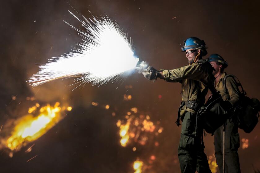
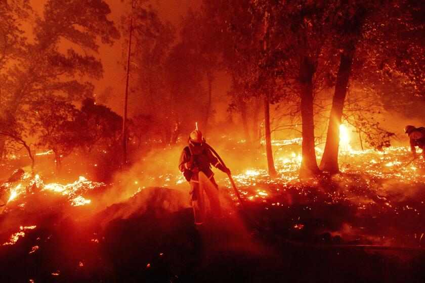
Childers said firefighters will continue securing lines around the bottom edge of the fire Thursday to prevent it from moving to foothill communities.
“It’s going to be a lot of work there today to try to keep it from grinning farther across Highway 39,” he said.
Highway 39 is closed in both directions at Old San Gabriel Canyon Road, as well as State Route 2 from east of Upper Big Tujunga Canyon to Big Pines, according to the California Department of Transportation.
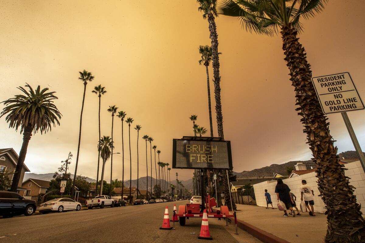
Evacuation warnings were lifted for Arcadia residents north of Foothill Boulevard and east of Santa Anita after the city reported that the fire had generally progressed away from Arcadia.
Fears of a significant spread of the Bobcat fire dissipated as Santa Ana winds failed to materialize, but foothill communities remain on high alert.
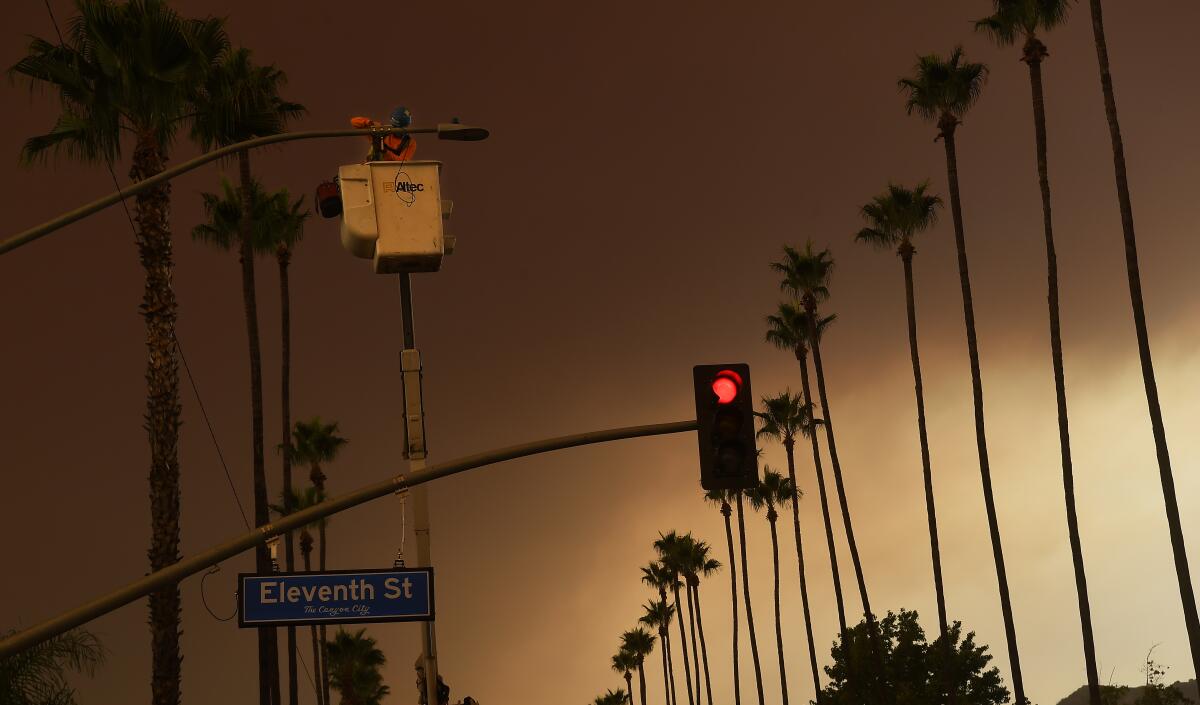
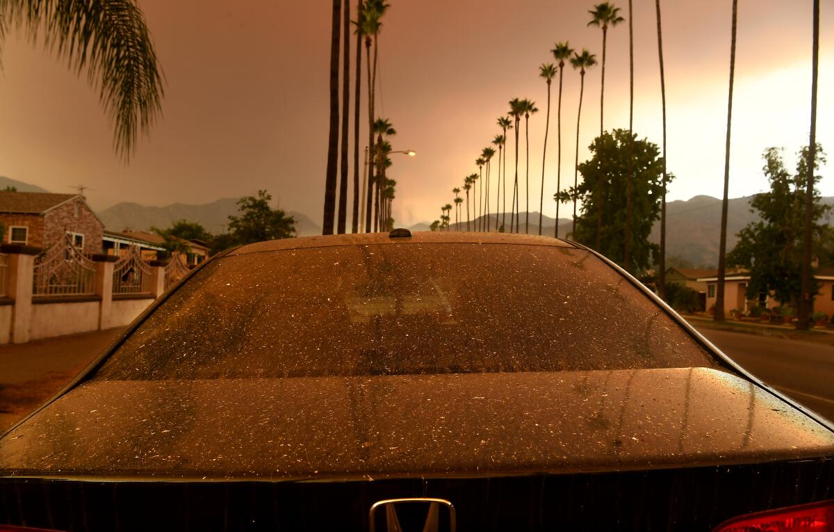
Despite the fire’s movement away from populated areas, danger remains high and six areas were still under an evacuation warning Thursday night: Bradbury, Monrovia, Sierra Madre, Pasadena, Altadena and Duarte. Darkened, smoke-filled skies, falling ash and the smell of fire gave an ominous feel to the day.
Although red flag warnings in the area have been canceled, officials in the foothill communities were urging residents to stay vigilant to fire danger and the possibility of evacuation.
“We get a sense that everyone is well prepped and ready,” said Victoria Rocha, assistant to the city manager in Duarte, “It’s absolutely very smoky over here.... We’re just going to stay in that hold pattern until we’re told otherwise.”
“We keep putting out information to residents to stay inside, close your doors and windows, don’t do rigorous activity outside, because the air quality is really tough,” she said.
A smoke advisory remains in effect for most of Los Angeles County and parts of Orange, Riverside and San Bernardino counties, according to the South Coast Air Quality Management District.
The air district’s smoke advisory said that most of the Southern California region would be affected by smoke, with the highest readings of fine-particle pollution — tiny lung-damaging particles known as PM2.5 — in areas closest to the Bobcat and El Dorado fires.
Smoke blowing in from Northern California “may also contribute to widespread elevated PM2.5 concentrations,” the air district said, but due to shifting winds, the effects of the smoke “will be highly variable in both space and time.”
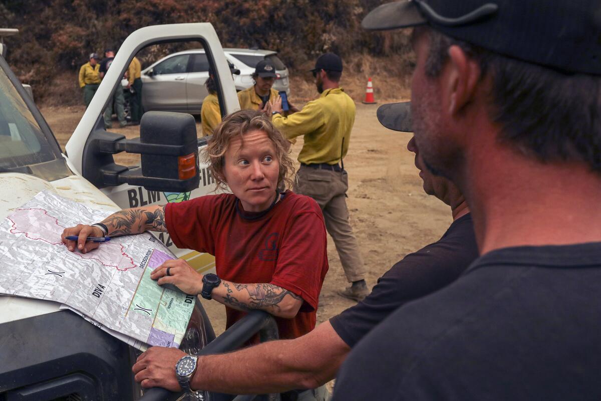
A total of 652 personnel have been assigned to the Bobcat fire, one of several wildfires raging up and down the West Coast.
Orange skies blotted out the sun in the Bay Area on Wednesday, while the town of Big Creek, Calif., has been devastated by flames. In Northern California and Oregon, tens of thousands of residents have been forced to abandon their homes.
At the scene of the Bobcat fire, air tankers, including a DC-10, “were able to make several drops of fire retardant on the southwest portion of the fire to reinforce and strengthen previously applied fire lines,” the Forest Service said Wednesday, and more resources are on their way.
Less than two years after the deadliest and most destructive fire in California history tore through Butte County, the region is again under siege from a fire complex that has burned more than 250,000 acres.
All 18 California National Forests are closed, and road closures include the 2 Freeway east of La Cañada-Flintridge to Islip Saddle, and Highway 39 at Canyon Entrance Station.
Firefighters don’t expect to have the Bobcat fire contained for at least a month.
On Thursday morning, Bell described a hazy mixture of marine-layer fog and smoke in the air.
“I’m southeast of the fire looking up at it,” he said. “I just can barely see the top of the mountains right now.”
More to Read
Sign up for Essential California
The most important California stories and recommendations in your inbox every morning.
You may occasionally receive promotional content from the Los Angeles Times.
