Even more rain? Yes. Here’s how to prepare

Somewhat unbelievably, Southern California is in for even more rain this week.
After weeks of successive storms, Angelenos can expect another through Thursday morning. For those keeping track at home, this will be our 13th storm of the season.
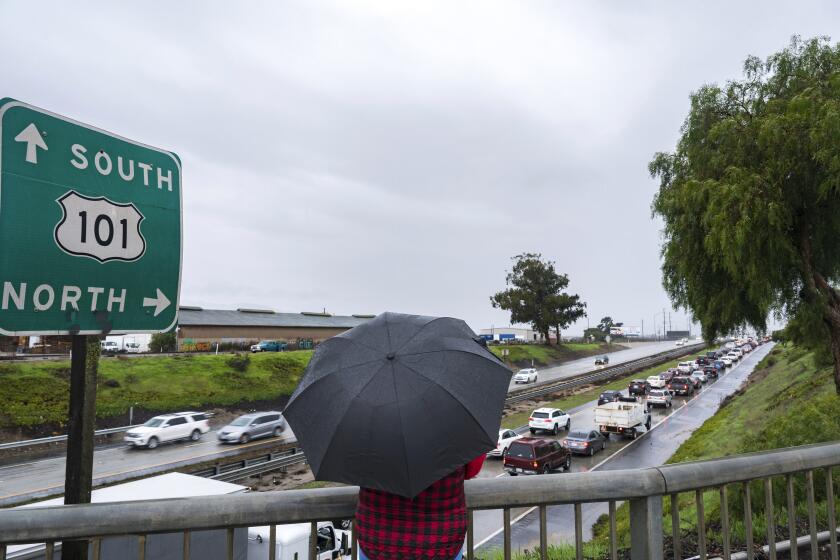
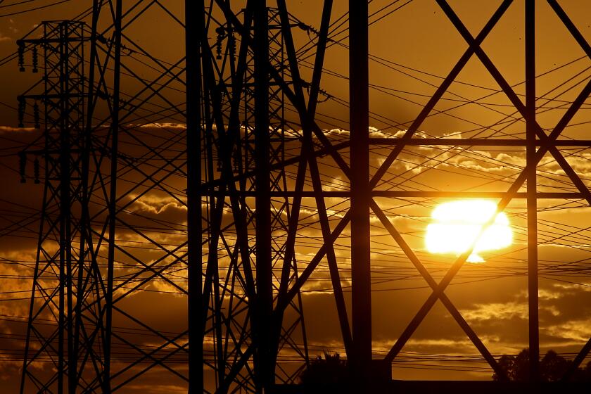
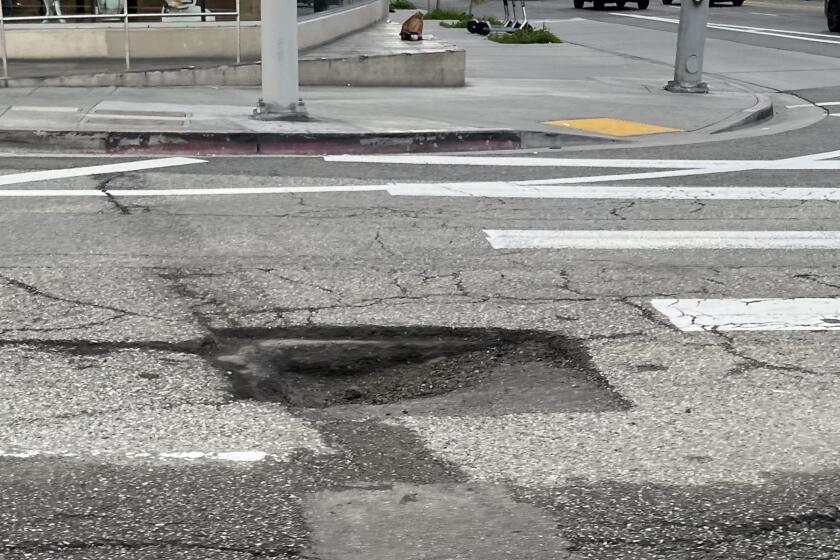
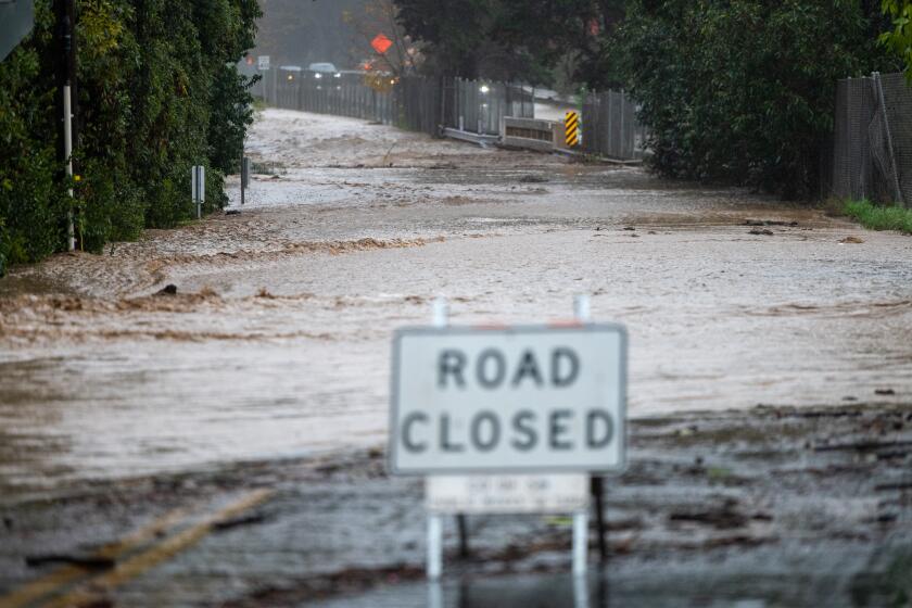
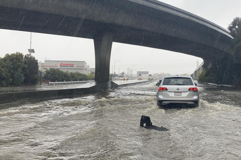
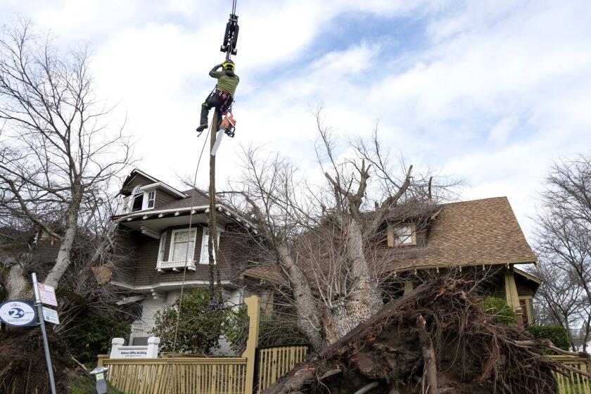
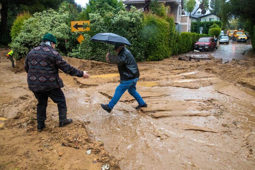
Once again, there’s a risk of power outages, flooding and dangerous road conditions.
Some previous storms gathered warm moisture from closer to the equator. David Sweet, a meteorologist for the National Weather Service, said the 12th storm came from the chilly northwest. That meant more high winds and lower temps all around Southern California and more snow at higher elevations. For this week’s storm — No. 13 is another cold one — snow levels could drop to 3,000 to 4,000 feet.
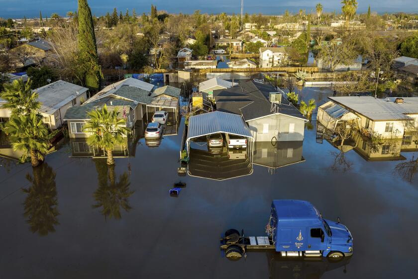
Across the state, thousands of residents are preparing to evacuate or have already evacuated because of flooding and other risks. Officials are asking the public to remain alert and be ready to evacuate if needed.
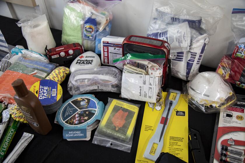
If you haven’t already, this is your chance to sign up for emergency alerts, prepare (or restock) your emergency kit, check the batteries in your flashlights and make a plan to stay warm and dry this week.
