‘Very, very dangerous’: These parts of California face flood risk from snowmelt, spring sun
- Share via
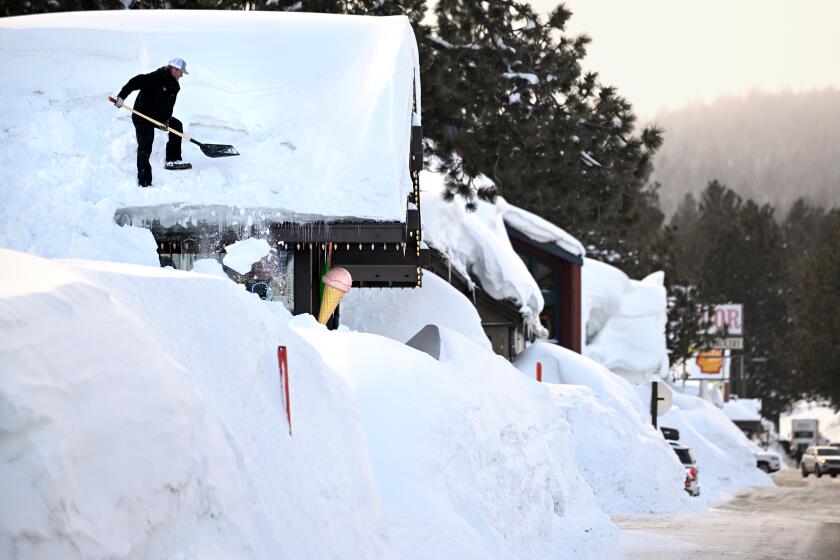
After a relentless three months of heavy rain and snow, California is facing yet another environmental threat — sunny skies and balmy weather.
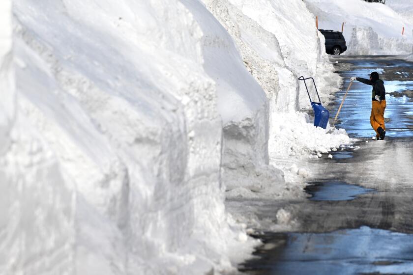
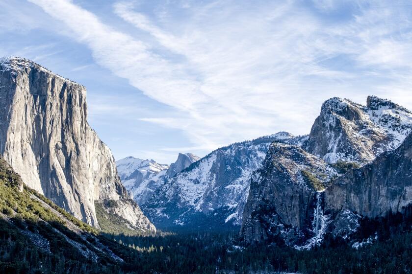
That’s right, after announcing the deepest snowpack in decades, state officials are warning that runoff from melting snow will send torrents of water rushing from the peaks of the Sierra Nevada to the foothills and valleys thousands of feet below.
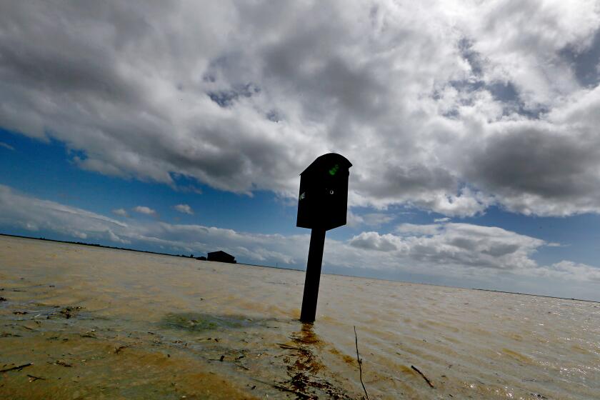
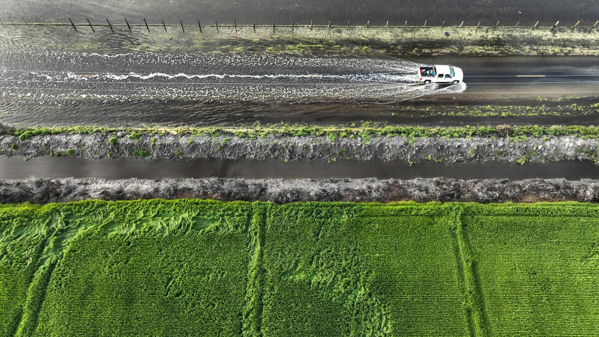
Of particular concern is the Tulare Lake Basin and other areas of the Central Valley that have already seen storm flooding this year and remain in the path of snow runoff and releases from nearby dams. Major waterways such as the San Joaquin River, and tributaries, will see treacherous conditions as well.
“If you’re recreating in rivers and streams, the water is going to be cold and high and fast,” said Karla Nemeth, director of the California Department of Water Resources. “Very, very dangerous.”
The snowpack is so deep that it currently contains roughly 30 million acre-feet of water — more water than Lake Mead, the nation’s largest reservoir.
Temperatures are forecast to rise into the 80s in the Central Valley in the coming days, which could produce some snowmelt. But experts say the biggest threat will probably not arrive until temperatures reach the 90s for an extended period of time.
“That’s when you can expect that those flows are going to start really picking up,” said Jessica Chiari, a meteorologist with the National Weather Service in Hanford. “That’s usually not likely in April — it’s usually going to be late summer when that starts. Usually June is when we start getting the temperatures up in those mid-90s for extended periods of time.”
As of Tuesday, the National Weather Service’s River Forecast Center shows that the Merced River at Stevinson remains above flood stage, or the point at which water can overtop banks and create hazards for people and properties nearby. The San Joaquin River at Newman, Patterson, Vernalis and Mossdale is above monitor stage, indicating a potential to approach flood conditions.
“We’ll keep a close eye on those areas, and we can expect to see these monitoring flood stages kind of fluctuating, but water levels remaining high, for the duration of the next few months,” said Jeremy Arrich, manager of the Division of Flood Management with the California Department of Water Resources.
Yet predicting exactly when “the big melt” will occur is difficult.
“We’re into that time of the year where the sun is up in the sky longer during the day, and the more often we have clear sunny skies, the more radiation you’re going get on the snowpack,” said Dave Rizzardo, the department’s hydrology section manager.
“Unfortunately it’s more of a week-to-week weather pattern,” he said.
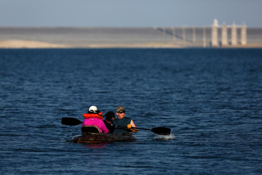
Northern California’s San Luis Reservoir was only one-quarter full in December and is now nearly full after the state’s wet winter.
Warming conditions are expected in Central California between Wednesday and early next week, with high temperatures climbing to about five degrees above normal by Monday afternoon, according to the National Weather Service.
That includes temperatures around 80 degrees in the San Joaquin Valley. Temperatures at higher elevations in the nearby Sierra mountains could climb to the 40s and 50s.
Chiari said some melting is possible at temperatures above freezing, 32 degrees, but the biggest concern will be when temperatures in the valley start climbing consistently into the high 90s — likely around midsummer.
Higher elevations with dense snowpack at 250% of normal or more could hold until late August or early September, she said. The National Oceanic and Atmospheric Administration’s extended outlook for April, May and June shows equal chances of above- or below-normal temperatures in the state.
But reservoir operations can also affect flooding. As water managers release water from dams to make room for incoming flows, it can add pressure to rivers and tributaries downstream, keeping water levels high.
Officials don’t foresee many rivers and tributaries that are already at flood stage going down in the near future “because some of those are due to dam releases,” Chiari said.
The National Weather Service has issued a flood advisory along the Kings River in Fresno, Kings and Tulare counties until 9 p.m. Thursday because of floodgate releases from the Pine Flat Dam.
“River or stream flows are elevated,” the advisory said, warning of “minor flooding in low-lying and poor drainage areas.”
Specific areas that will experience minor flooding include Sanger, Reedley, Kingsburg and the Kings River Golf and Country Club.
A similar flood advisory is in effect in Fresno and Madera counties along the San Joaquin River until 9. p.m. Thursday due to releases from the Friant Dam, with parts of Fresno, Mendota, Biola, Friant and Millerton Lake expected to experience flooding.
Meanwhile, a flood warning will remain in effect along the Merced River at Stevinson “until the river falls below its flood stage,” the National Weather Service said.
As historic storms fill once-dry Tulare Lake and submerge prime California farmland, tensions are building over how to handle the swiftly rising floodwaters.
There are other variables to consider when it comes to snowmelt in California. The color of the snow can make a difference, as even a light dusting can reset the snow’s albedo, or measure of whiteness, which helps reflect solar radiation and prevent melting, Rizzardo said.
The longer that snowpack sits without any fresh powder, the more time it has to collect dirt and debris, he said, noting “the darker snow is, the more it’s going to absorb solar radiation.”
The problem is even worse for snow near wildfire burn scars, which can collect soot, ash and charred materials that darken it even faster.
The elevation of the snow can also make a difference, as can the depth of the snowpack, because extremely deep snowpack can insulate itself, Rizzardo said.
“All in all, it’s going to be a complex picture,” he said. “The quicker it warms up and has sunnier days, the quicker we’re going to see melt, but there are some ways that it can sort of protect itself from melt.”
Although the Central Valley is a top concern, officials in Southern California have also expressed some fears about the potential for spring flooding. The Los Angeles Aqueduct, which draws water from the Owens Valley and delivers it to millions of people in L.A., was undermined last month when floodwaters caused a 120-foot section of the structure to crumble.
Officials with the Los Angeles Department of Water and Power said crews are readying the aqueduct and nearby waterways in the eastern Sierra for a lengthy runoff season that could last into September. Flood protection measures are also underway in the northern part of their district around Inyo County.
Los Angeles will likely be spared any major floods, said Steven Frasher, a spokesman for the L.A. County Department of Public Works.
“Here in L.A. County we do not expect any flooding or other negative impacts related to snowmelt,” Frasher said. “However, we do expect stream flows collected in our reservoirs to inflow well into summer due to large amount of precipitation this storm season.”
As record snows saddle the eastern Sierra Nevada, snowmelt threatens to inundate Los Angeles Department of Water and Power infrastructure.
In the meantime, officials farther north are keeping a close eye on areas that have already seen levee breaches and flooding this year. That includes much of the Tulare Lake Basin and portions of Allensworth and Alpaugh, which remain under evacuation warnings after being inundated by March storms.
“We’re really taking advantage of the good weather that we’re getting right now, and the areas that have had repairs are being watched to make sure they’re staying the way they should be,” said Savannah Birchfield, a spokesperson with the California Department of Forestry and Fire Protection, which is assisting Tulare County with its emergency flood response measures.
“Obviously we are looking at possible snowpacks bringing more water, but for now it’s just really observing the work that we have done and making sure it’s keeping that water back,” she said.
Gov. Gavin Newsom on Friday issued an executive order to help ready the Tulare Basin for potential flooding and “prepare communities for the impacts of snowmelt runoff from the Sierra Nevada in the months ahead.”
Newsom also secured a presidential major disaster declaration to further support response and recovery efforts in the storm-battered state.
Sean de Guzman, manager of snow surveys with the Department of Water Resources, said officials are continuing to advise agencies about the volume of snowmelt expected this year. Runoff in the Kings River Watershed could be as high as 265% of average, while the Kern River watershed could see “an absurdly high 422% of average,” he said.
He added that the state is expanding its aerial remote sensing operations to fly over watersheds and collect more data about snowpack and runoff, with a particular focus on the southern Sierra.
The joint state-federal Flood Operations Center, which has been activated since early March, is also continuing to respond to levee concerns along the San Joaquin River and its tributaries, said Arrich, of the water resources department.
That includes a 200-foot levee segment near Tracy and a 900-foot levee segment near Vernalis, both of which received emergency erosion repairs after the recent storms, Arrich said.
Though some water began receding after the rains, residents can “expect these San Joaquin River levels to remain high through much of the spring and into early summer,” he said.
More to Read
Sign up for Essential California
The most important California stories and recommendations in your inbox every morning.
You may occasionally receive promotional content from the Los Angeles Times.
