California ‘weather whiplash’ fuels uncertainty in upcoming wildfire season
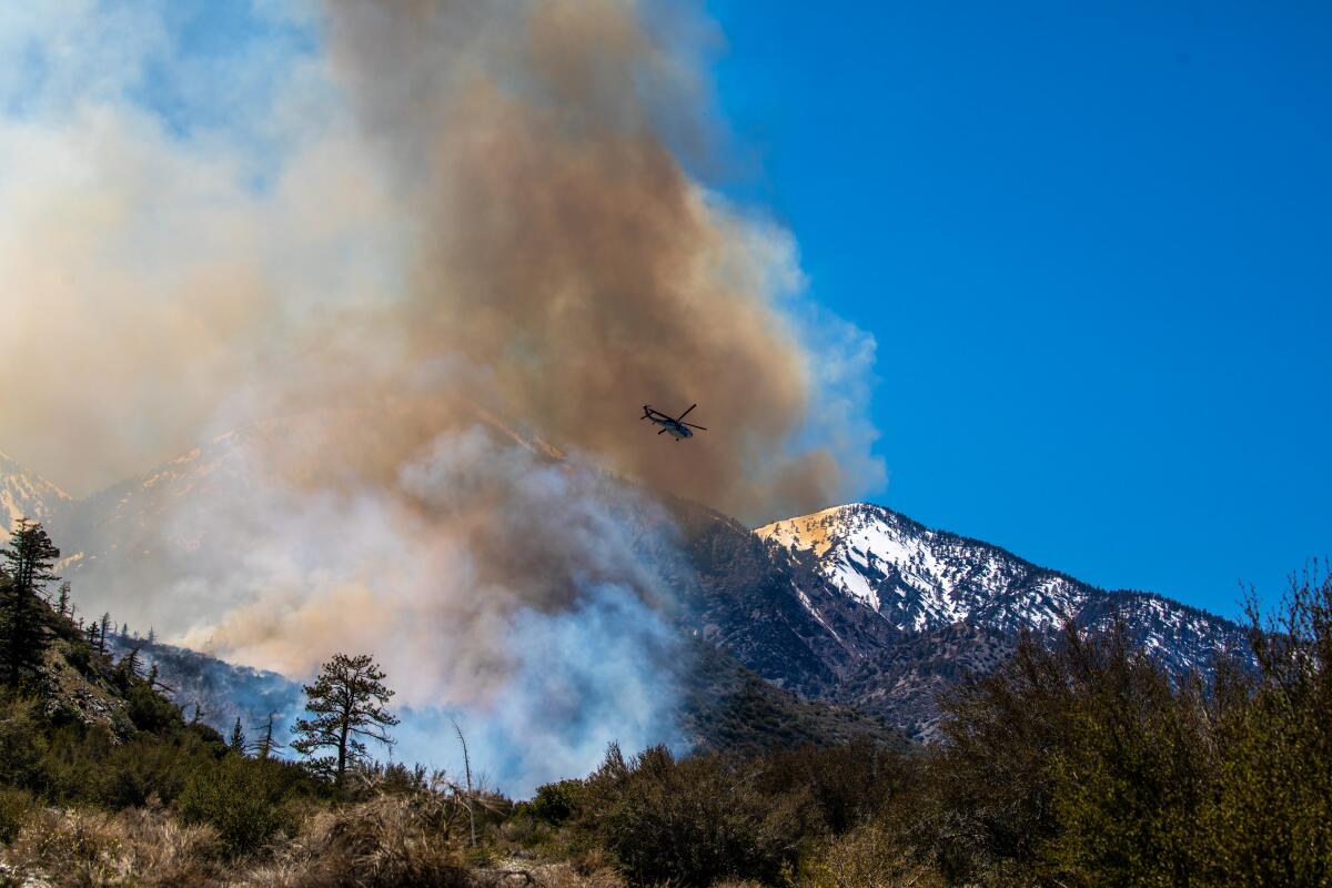
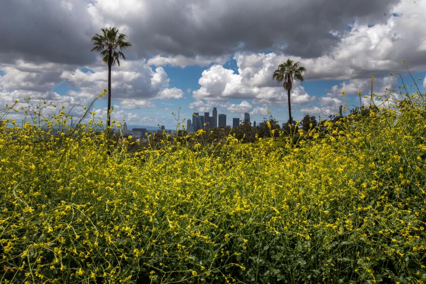
When Jonathan O’Brien sees the rolling green hills of Southern California, the grasses lush from this winter’s heavy rains, he can’t help but feel uneasy.
“Even if it’s not this year or next year, sooner or later we absolutely will go into a drought period again, and all this vegetation that has grown will eventually suffer — that’s just the cycle we face,” said the National Interagency Fire Center meteorologist. “When that happens, it’s all but inevitable we will see a severe fire season or two.”
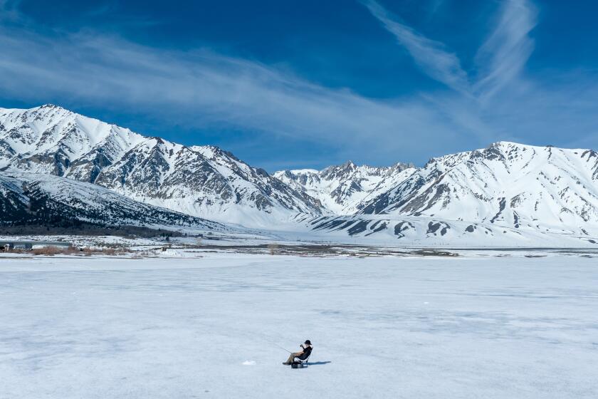
This summer, however, O’Brien and other forecasters project that portions of the state could get a break. The storms of the last couple of months have left behind a deep mountain snowpack that is expected to act as a buffer against massive wildfires like those that twice burned from one side of the Sierra Nevada to the other in 2021. At lower elevations, the outlook is uncertain. Those grassy hills could burn sooner rather than later.
“Overall, we think it’s going to be a less-active-than-normal year, led by that less active component at higher elevations,” said O’Brien, who works for the NIFC’s Predictive Services in Riverside. “But the big wild card for this season is going to be the grass fire activity at lower elevations and whether we get the winds later on toward June and July to start pushing any fires around as these grasses start to dry out.”
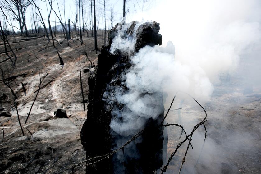
Any lull in the fire season would just be temporary, experts say. Climate change is supercharging California’s natural climate variability, making wet spells wetter and causing dry spells to run hotter and longer. At the same time, the prohibition of Indigenous cultural burns and the effects of industrial logging and aggressive fire suppression have made much of the state’s forests more flammable.
“We definitely do see bad fire years getting worse. And there’s some evidence to suggest we will see more of this weather whiplash in the future, where we have a very wet year followed by a very dry year and we see these extreme swings from one to the other,” said Kristina Dahl, principal climate scientist at the Union of Concerned Scientists. “So it’s important to remember that those wet years don’t necessarily inoculate us from wildfires.”
The atmospheric rivers are gone, but the water they dumped on Southern California has prompted dormant plants to bloom for the first time in years. Native wildflowers and invasive weeds are all thriving.
This year’s exceptionally wet and snowy winter is expected to influence wildfires in several ways.
Higher elevations, especially areas above 7,000 to 8,000 feet, will remain covered in snow until much later than normal, which is expected to decrease fire activity by keeping the soils moist and vegetation green, O’Brien said.
But this year’s heavy snow and wind also brought down trees and branches, which could add to the flammability of forests under the right weather conditions, said fire meteorologist Brent Wachter with Predictive Services Northern California Operations.
“What the snow crush and the blow-downs have done is rearrange the fuel bed to make it easier for fire to transfer from the surface to canopy fuels,” he said. “And we’re still sizing that up, still figuring out how much is happening out there. Some of it is still under snow, so we don’t fully know the extent of this rearrangement.”
All that precipitation has also fueled new plant growth, or “green-up.” In lower elevations, these grasses and small shrubs and plants will cure out, or die, by the heart of the dry summer season, when temperatures are persistently hotter. That’s when they can become fuel for a wildfire.
This curing is expected to take place later than usual this year because the moisture levels in the plants are above normal, so they will take longer to dry out, O’Brien said. For that reason, even though it’s now close to when Southern California would start to see a notable uptick in grass fires, such activity is probably still at least three or four weeks out, he said.
In Northern California, forecasters are calling for below-normal significant large fire potential in the Sacramento Valley foothills and lower elevations of the Bay Area until June, and in most other areas until August.
Members of the Southern Sierra Miwuk Nation became the latest Indigenous tribe to watch homes burn despite knowing it could have been avoided.
Grass fires tend to exert less demand on firefighting resources than timber fires in the mountains because the terrain is generally easier to access and the fuel burns more quickly, so crews can often contain the blazes in a matter of days rather than months, O’Brien said. But though grass fires don’t usually consume as much acreage as heavy timber fires, they tend to be faster moving and take place near populated areas, a combination that can threaten lives and properties.
Still, O’Brien said, heavy grass growth doesn’t necessarily mean an active grass fire season. The biggest driver of these fires is wind, which allows them to spread rapidly and evade containment for long enough to become threatening. The wind patterns in June and July, when the fuel will begin to become available to burn, are difficult if not impossible to predict this far in advance.
There are other factors forecasters consider. A deeper and more persistent marine layer that lasts well into the spring and early summer can lead to more moisture in the soils and ground that can slow fire spread.
Temperatures also play a big role. Right now, conditions are projected to be cooler than normal and the marine layer deeper than normal, through at least June. Heat anomalies might bring periods of above-normal temperatures in July and August, but on balance the temperature regime appears as though it will be close to normal for much of the state this summer, Wachter said.
On the other hand, the southwest monsoon, which tends to weigh in toward July and August and last year spent a lot of time over California, raising humidity levels, is not expected to be nearly as active this summer, he said.
NASA satellite photos show the difference between snowpack in the Sierra Nevada now and during the past three years of drought.
Forecasters are also confident that an El Niño is developing and will be in place by late summer or fall. The phenomenon refers to a pattern of warmer sea surface temperatures over the equatorial Pacific Ocean that have a big effect on weather over the West Coast and tend to bring wet winters to California.
If an El Niño does develop, the East Pacific is usually more prone to hurricanes and tropical disturbances, which could affect California later in the summer, Wachter said. Tropical disturbances have provided some of the state’s most abundant lightning events over the last few years, including the August 2020 siege that sparked three massive wildfire complexes in Northern and Central California, resulting in the state’s worst fire season on record. Still, he said, it’s too early to accurately forecast the summer lightning season.
Though El Niño isn’t expected to have a major effect on the peak of the fire season in Southern California, it does tilt the odds toward an earlier arrival of wetting rains this fall and winter, which could help head off potential fire danger associated with the Santa Ana wind season that typically starts in October, O’Brien said.
Just because forecasters are calling for below to normal fire activity doesn’t mean the state won’t see significant fires. The National Interagency Fire Center divides California into roughly 25 predictive service areas. A designation of “normal” means forecasters expect one or two large fires per area in June, one to three in July and two to six in August, with the exception of the Bay Area, where normal means less than one large fire, Wachter said.
“It’s important to keep in mind that typically we get a lot of fires in California and they are typically burning several hundred thousand to a million acres of land statewide every year,” O’Brien said.
“So even if you’re 20% or 30% below the average, that’s still a lot just because that’s the climate cycle we have. It’s inevitable that once we get to the summer, it will turn hot and dry and things will become available to burn.”
More to Read
Sign up for Essential California
The most important California stories and recommendations in your inbox every morning.
You may occasionally receive promotional content from the Los Angeles Times.
