Hurricane Hilary likely so big it will cover all of Southern California
- Share via
By the time the weakened Hurricane Hilary hits Southern California, it will have turned into a massive tropical storm that will likely cover the entire region, from the Pacific Ocean in Los Angeles County to the Colorado River.
Currently, the area blanketed by Hilary with at least tropical storm-force winds — meaning at least sustained winds of 39 mph — is about the size of Arizona.
So the impact of Hilary could be far and wide. Forecasters are warning of “catastrophic and life-threatening flooding,” with the potential for flash flooding highest in the deserts.
Death Valley and Morongo Basin are expected see significant flooding.
Here’s a rundown of Hilary’s potential impact on Southern California, according to the National Weather Service.
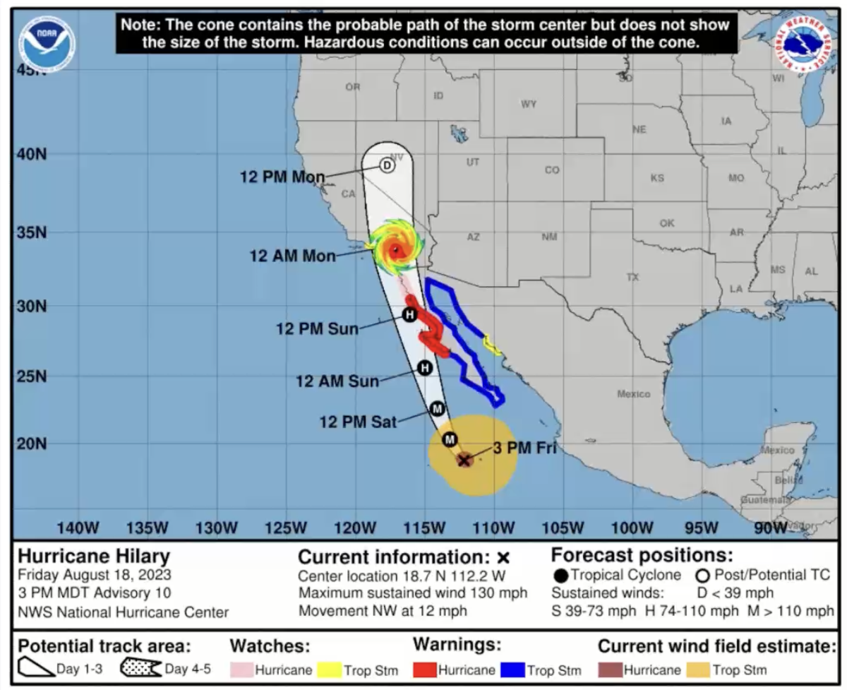
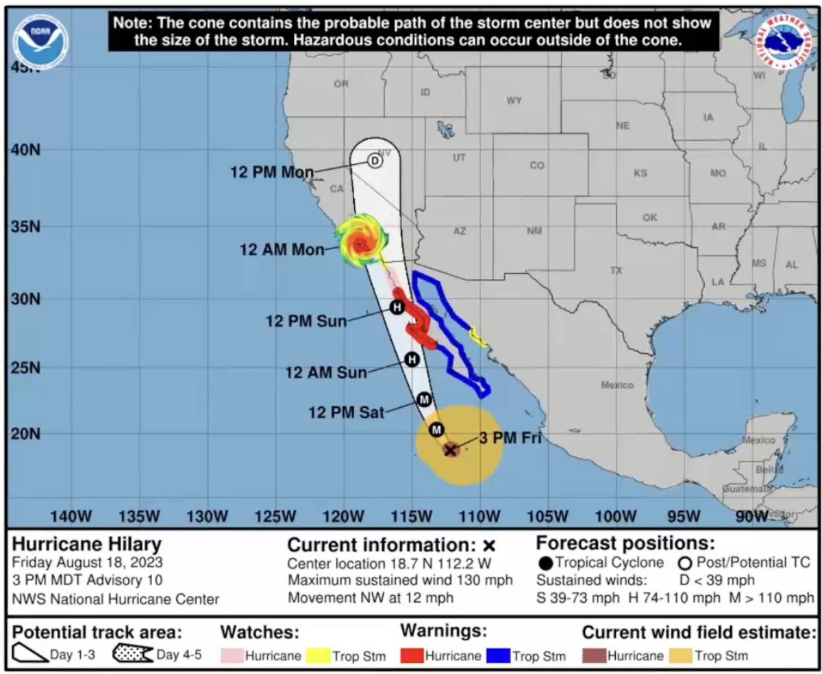
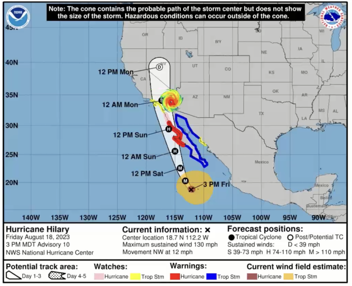
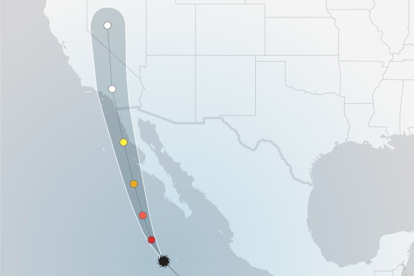
STORM PATH: Exactly how the center of the storm will head up north is not certain. Forecasters spoke of the eye of the storm moving on land in San Diego County around Sunday evening and moving north, through the L.A. County and San Bernardino County border.
In this scenario, the storm’s impact will likely stretch from the L.A. County shoreline to as far east as the Colorado River.

But the storm’s path could change slightly. It could move slightly to the west, which would then put its eye directly on the west side of L.A. County, through the Rancho Palos Verdes Peninsula, Santa Monica and Malibu. That would increase Hilary’s impacts farther west, including through Santa Barbara County.

The storm’s path could also move slightly to the east, which would put the eye over the Colorado River, and reduce impacts on L.A. County.

TIMING: Tropical force winds are expected as early as Sunday morning and could continue into Monday. Tropical force winds — sustained peak winds greater than 39 mph but less than 74 mph — could occur for a good portion of Southern California.
Rain, however, could develop Saturday in the deserts, increasing by the evening.
HIGHEST RISK AREAS: Desert communities are at the highest risk for flash flooding. Forecasters are urging people to avoid traveling through deserts and mountains on Sunday and Monday, including major roads in the Central Valley and between Southern California and Las Vegas.
Those areas include the Mojave Desert, Coachella Valley, Anza-Borrego Desert and the Imperial Valley. Some desert areas could see a year’s worth of rain in just the next few days from Hilary.
Life-threatening flooding could have “possible devastating impacts” across the eastern San Gabriel Mountains and the foothills of the Antelope Valley. Major rainfall could result in evacuations and rescues.
“Destructive runoff may rage down mountain valleys,” the weather service said. “Streets and parking lots become rivers of moving water with underpasses submerged.” Some bridges could be washed out.
The area with perhaps the highest risk of a combination of wind, coastal flooding and rain would be San Diego County, particularly the San Diego metro area, forecasters said.
SURF: Forecasters warned of pounding surf, with the highest risk on south-facing beaches, which is in the direct path of Hilary. Orange County’s beaches could see wave heights of between 6 feet to 12 feet; San Diego County, 3 feet to 5 feet.
RAIN AND FLOOD THREAT: The rain and flood threat is of the highest concern to forecasters. Sunday night is the most concerning time period.
Hilary could drop nearly 3 inches of rain in downtown L.A., Irvine and San Diego; about 4 inches could come to Pomona, Acton and Lancaster. Anaheim, Ontario, Riverside and San Bernardino could see 3 to 4 inches.
Palm Springs could see 4 to 5 inches of rain in the next few days — as much as the city receives in an entire year.
BURN AREAS: In L.A. and Ventura counties, there haven’t been especially big fires in the last couple of years, forecasters said.
WINDS: Winds are expected to be strong enough to cause power outages and possibly push down trees, or break off large tree limbs. Winds could cause damage to carports and porches. Peak winds are expected between Sunday morning and Sunday night.
There’s a 60% to 70% chance of tropical storm force winds in the San Diego metro area. And there’s at least a 30% chance of such winds over large portions of Los Angeles, Orange, Riverside, San Bernardino and Imperial counties.
STORM SURGE: Some coastal flooding — perhaps greater than 1 foot above ground but not above 3 feet — could be an issue in Long Beach, especially in the Belmont Shores area, around Catalina Island, and along the Orange County coast, including Huntington Beach. A more significant storm surge is not expected to be a significant issue at this time. But waves and risk could increase if Hilary’s path shifts westward.
TORNADOES: There is a potential threat of isolated, brief land tornadoes and waterspouts, but it’s considered low. Forecasters spoke of a 5% to 10% chance of tornadoes.
But if tornadoes do develop, officials likely won’t be able to provide much notice, and they may be harder to see because they’ll be mixed in with rain.
LIGHTNING AND THUNDER: There is a 20% to 30% chance of thunderstorms and isolated bouts of intense rain.
FIRE WEATHER: Fire weather is possible on Saturday preceding the arrival of Hilary, before the rain kicks in. The winds would come from the northeast — similar to a Santa Ana wind event.
More to Read
Sign up for Essential California
The most important California stories and recommendations in your inbox every morning.
You may occasionally receive promotional content from the Los Angeles Times.


