‘Prepare now’: California’s next storm may bring ‘life-threatening’ flooding
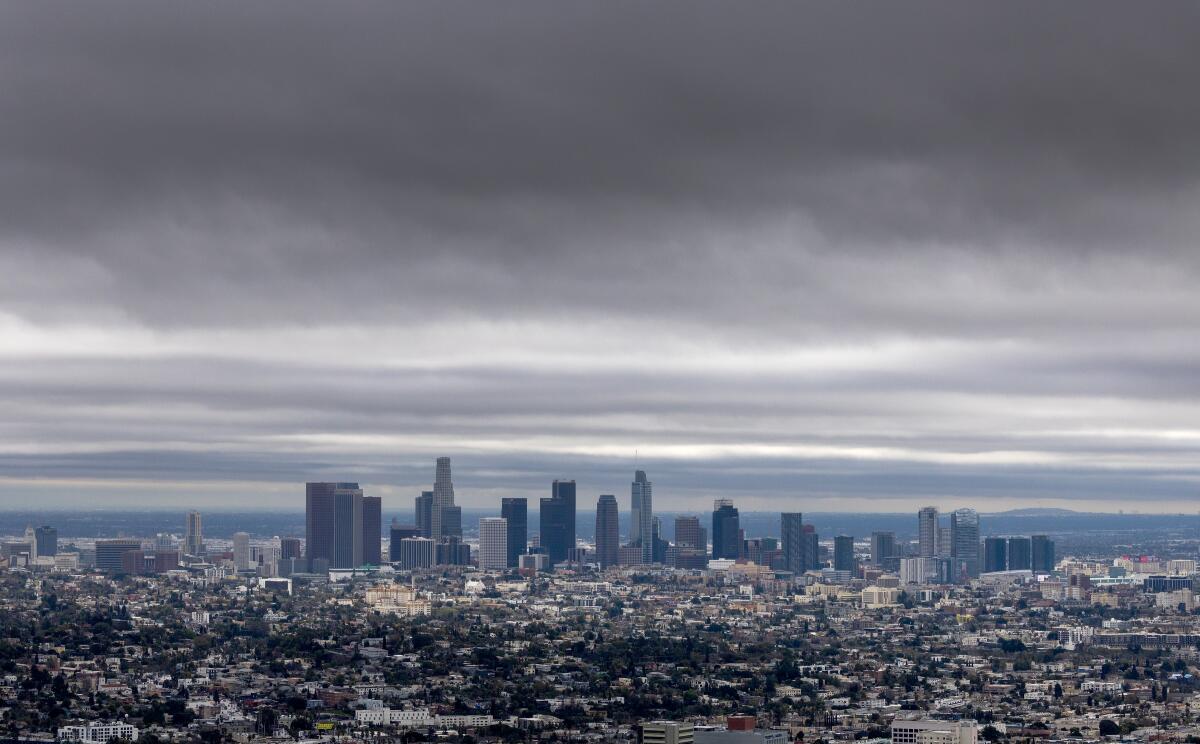
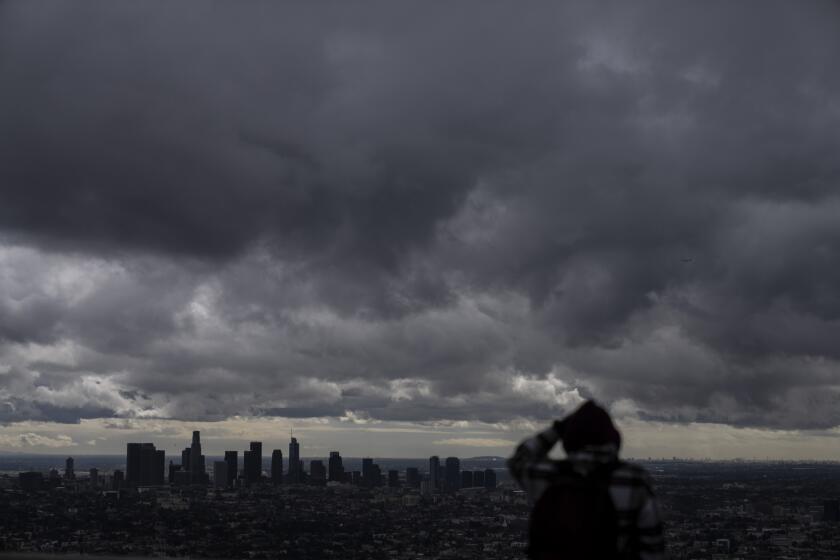
Officials across Southern California are warning residents to prepare for what could be “life-threatening and damaging flooding” beginning Sunday, as a storm system fueled by a massive atmospheric river brings heavy, sustained rainfall and dangerous waves to an already soaked region.
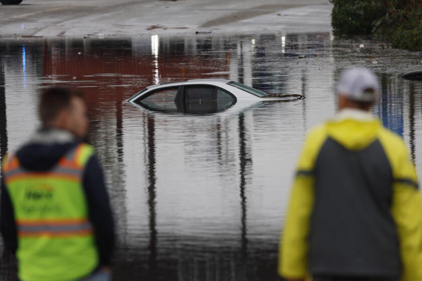
This storm could dump more than double Thursday’s rainfall, which caused significant flooding, road closures and water rescues across the region.
“This is a potentially dangerous situation, and we are urging everyone to be preparing in advance,” Ariel Cohen, a National Weather Service meteorologist, said Friday. That includes positioning sandbags, altering road travel plans, having multiple avenues to receive weather warnings and being prepared to evacuate, especially for those in low-lying areas.
Although there’s some uncertainty about the path and speed of the storm, Cohen warned that across Santa Barbara, Ventura and Los Angeles counties, “all areas will be susceptible to life-threatening, damaging flooding.” With high winds and heavy snows also predicted, officials warned of mudslides, downed trees, power outages and even avalanches.
Ryan Kittell, another meteorologist at the agency, said a “rare amount of rain” is forecast to hit the region, most falling in a 24-hour period. From Sunday to Tuesday, more than 5 inches are expected in downtown Los Angeles, more than 7 in Pasadena, 9 in Ojai and 6 in Westlake.
“We just got a taste of it with this last storm, where there was some significant flooding in Long Beach,” Kittell said, “but we’re expecting much more rain than that, and in a widespread area.”
Almost statewide, communities are preparing for heavy rain through Tuesday, with 94% of the population — an estimated 37 million people — at risk for floods, according to an analysis from AccuWeather that reviewed already soaked areas forecast to get 2 or more additional inches of rain.
Given the anticipated severity of the storm, state officials are mobilizing and pre-positioning resources such as sandbags, water pumps and water rescue equipment.
“California has more than 8,300 boots on the ground as we prepare for this next set of serious storms,” Gov. Gavin Newsom said in a statement Friday. “All Californians in the storm’s path — especially those in Southern California — should prepare now and follow the guidance of local government officials and first responders.”
A flood watch was issued across a broad swath of the state, from the northern Sacramento Valley through San Diego, beginning late Saturday through early next week.
In Santa Barbara, Ventura and Los Angeles counties, which are expected to see some of the worst flooding, weather officials predict 3 to 6 inches of rain Sunday and Monday.
All schools in the Santa Barbara Unified School District will be closed Monday in expectation of heavy rain, officials said. Santa Barbara City College will shift to remote instruction that day.
On Thursday, rain totals across the same areas were between 1 and 3 inches, Cohen said, though the Palos Verdes Peninsula and Long Beach, among other places, saw more. Southeastern Santa Barbara County received the most rain, more than 5 inches. The rainfall broke daily records, including at the Santa Barbara Airport, with 2.02 inches; the Los Angeles International Airport, with 1.55; and the Long Beach Airport, with 2.45.
“L.A. could see somewhere from a third to half of the average annual precipitation from this single storm coming up,” said Daniel Swain, a climate scientist with UCLA. “It looks like it may rain continuously in L.A. County from around Sunday afternoon to Wednesday morning. ... It may not be extremely intense the whole time, but it will be a pretty long-duration rain event.”
He said it would easily qualify as the biggest storm of the season so far.
Los Angeles Mayor Karen Bass said the storm could wind up being as strong as Tropical Storm Hilary, which buffeted the region in August.
“We made it through Tropical Storm Hilary, and I am confident we will weather this storm — because once again, the city is preparing, we are informing, and we have confidence that Angelenos will come together and take commonsense precautions, such as stay home and off the road,” she said during a briefing late Friday afternoon.
Hurricane Hilary is moving toward Southern California. Here’s how to prepare and stay safe before and during the storm, heavy rain and potential flooding.
The Los Angeles Fire Department is prepared with swift water rescue vehicles.
Fire Chief Kristin Crowley said Angelenos should avoid driving on roads where there is too much water to see the pavement. If you get stranded while driving, remain in your vehicle, she said.
“We urge you to take this storm seriously,” she said. “The key to your safety is being prepared.”
Bass instructed residents to dial 911 in case of a life-threatening emergency but to utilize 311 to report issues such as flooded roads or downed tree branches. Unhoused residents can call 211 for transportation to a shelter.
The Los Angeles Homeless Services Authority has increased shelter and housing voucher availability to accommodate an expected influx during the storm, Bass said. Additional shelters are expected to open by 5 p.m. Saturday.
L.A. residents can sign up for emergency updates at emergency.lacity.gov, Bass said.
The back-to-back storms make “the ground a lot more susceptible to supporting flooding with less rainfall,” Cohen said. “It’s much easier for floodwaters to build up as we have repeated rounds of moderate to heavy rainfall.”
In addition to rain, “high surf [and] large battering waves” could contribute to coastal flooding, the meteorologist said. And if the pounding waves aren’t enough to keep people out of the water, there will be “potentially deadly rip currents.”
The storm is expected to move through the Bay Area and Central Coast on Saturday before making its way south. San Francisco could see up to 3 inches of rain, and Santa Cruz up to 4.
The Big Sur area is of particular concern, said Nicole Sarment, a meteorologist with the National Weather Service in Monterey. The area could see as much as 7 inches of rain and gusts “easily” up to 60 mph, she said. A high wind warning is in effect in the region until at least 10 p.m. Sunday, along with storm watches and warnings. Big Sur’s famous Route 1 could again see damage, Swain said. People in the area should not go out if they don’t have to, according to Sarment.
In San Luis Obispo and Santa Barbara counties, heavy rainfall is expected to begin early Sunday; the storm will move into Ventura and Los Angeles counties by late Sunday and continue through Monday.
Slightly lower rain totals are expected farther south: up to 4 inches across the Inland Empire and Orange County, and 2 or 3 inches in San Diego County, according to Adam Roser, a National Weather Service meteorologist in San Diego.
“As the atmospheric river comes from the north to the south, it’s going to be weakening,” Roser said, but there’s still a chance for thunderstorms, which bring unpredictable and dangerous rain cells.
Officials in Southern California warned of “significant roadway flooding” Sunday, as small streams and creek beds “will fill quickly after the rain begins” and spill over onto the pavement.
The Ventura River could reach flood stage by Sunday night; about 24 hours later, the San Diego River could overflow, estimates show.
Snow is projected at high elevations, with a winter storm warning in effect across much of the Sierra Nevada, where a foot or more is forecast. In the Southern California mountains, up to 8 inches of snow could fall at elevations below 6,000 feet and up to 20 inches above that.
Fire crews, swift water rescue teams and other first responders have been moving into place throughout the state in preparation for the storms.
This mega storm is being supercharged by warm ocean waters, which are making more moisture available to the system, Swain said.
Swain said those warm waters — driven up, in part, by El Niño and climate change — are a factor in why California has seen so many thunderstorms marked by intense downpours already this year. Such storm cells are hard to predict and particularly devastating, as seen in the severe flash floods in Oxnard in December, in San Diego last week and in Long Beach on Thursday.
“I think it really tells us maybe something about what California’s future winters may look increasingly like in a warming climate,” he said.
The California Governor’s Office of Emergency Services has deployed personnel and resources, including more than 550 firefighters and 19 swift-water rescue teams, to 19 counties, officials said. Two million sandbags have been pre-positioned across the state.
“As we look ahead to the next few days, we encourage all Californians to take steps now to prepare for incoming weather,” agency spokeswoman Alicia de la Garza said in a video posted on X.
In Santa Barbara County, officials are bracing for impact.
“We’re expecting to get hit pretty hard with this upcoming storm,” said Capt. Scott Safechuck, a public information officer with the Santa Barbara County Fire Department.
The county is urging residents to stay away from rivers, creeks, flood-prone low-lying areas and wildfire burn scars, which can turn into dangerous mud and debris flows during heavy rains. Beaches, bluffs and harbor areas may see coastal flooding and erosion.
Safechuck said mandatory evacuation orders have not been issued, but residents should sign up for emergency alerts at ReadySBC.org and be ready to take action if needed.
“Be prepared, monitor the weather and, if you don’t feel safe during the storm, and you think it’s a good time to leave and go to other areas where you might feel safer, we always encourage people to do that ahead of time,” he said.
In Long Beach, one of the worst spots for flooding Thursday, officials were gearing up for the next round, with additional shelters available and sandbags provided across the city.
“Residents in historically vulnerable, low-lying areas, including the peninsula and Alamitos Bay, should prepare now,” city officials said in a statement. “The second storm is likely to bring even stronger weather conditions, including gusty winds and high surf with the possibility of increased risk of flooding.”
Heavy rainfall moved across Southern California on Thursday, causing flooding, road closures and some water rescues. But all eyes are focused on the next, stronger storm.
Similar preparations are underway in Los Angeles County. Officials are keeping a close eye on the Palos Verdes Peninsula, which saw devastating land movement last summer and a mudslide Thursday, as well as areas along the San Gabriel Mountains, said Emily Montanez, associate director with the L.A. County Office of Emergency Management.
“We’re always keeping an eye on that area, especially with recent burn scars like in Duarte,” Montanez said. “In burn scar areas, within three years post-fire, there’s always a chance for mud and debris flow.”
The county’s Public Works Department is clearing storm drains and flood control channels in preparation for an influx of water, she said. The agency is expected to issue phased warnings for areas in the path of the storm; that may include evacuation notices in Duarte, Azusa and the Santa Clarita Valley.
“If you live in Santa Barbara/Malibu I am BEGGING you to prepare like your life is on the line next week,” San Francisco Chronicle meteorologist Anthony Edwards said in a post on X. Malibu officials said residents should be ready for hazardous driving conditions due to water, mud, rocks and debris in roadways, as well as hazardous beach conditions and possible power outages.
In January, warnings for potential evacuations were issued for the portion of Topanga Canyon near the Agua fire burn scar. Malibu city spokesperson Matt Myerhoff said he would not be surprised to see a similar scenario over the next few days. He added that power outages could result in downed traffic signals and urged drivers to proceed with caution.
Times staff writer Luke Money contributed to this story.
More to Read
Sign up for Essential California
The most important California stories and recommendations in your inbox every morning.
You may occasionally receive promotional content from the Los Angeles Times.
