California shifting to warmer, drier weather, but wildfire season still expected to be delayed
- Share via
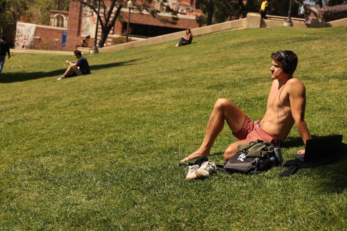
After another rainy winter that dragged into springtime, California is finally moving toward a warmer and drier pattern, with temperatures expected to hit typical highs — or above — for this time of year.
“It’s feeling kind of spring [or] summery,” said Rose Schoenfeld, a National Weather Service meteorologist in Oxnard. “We don’t have any rain in our forecast coming up.”
It’s a welcome change for many after multiple spring weekends dampened by storm systems that brought rain, dreary skies and cool temperatures.
In the Los Angeles area, temperatures are expected to rise — very gradually — through Sunday, with the highest temperatures coming to the interior valleys. The Antelope Valley could reach into the 90s Sunday, while the rest of the area’s valleys are forecast to peak in the upper 80s.
In downtown L.A., expect temperatures in the low 80s.
Forecasters are anticipating a late start to California’s wildfire season, but they can’t yet say whether it will be severe.
In the Central and Sacramento valleys, a more drastic warming trend is expected to continue through early next week, when highs are expected to hit the mid-90s across inland California. Highs could reach 10 degrees above normal by Sunday for much of the Central Valley — with highs forecast to hit 94 in Bakersfield and Fresno.
The Bay Area is also expected to keep warming rapidly, after a 20-degree jump recorded Thursday, driven by dry offshore winds. Even higher temperatures are expected Friday.
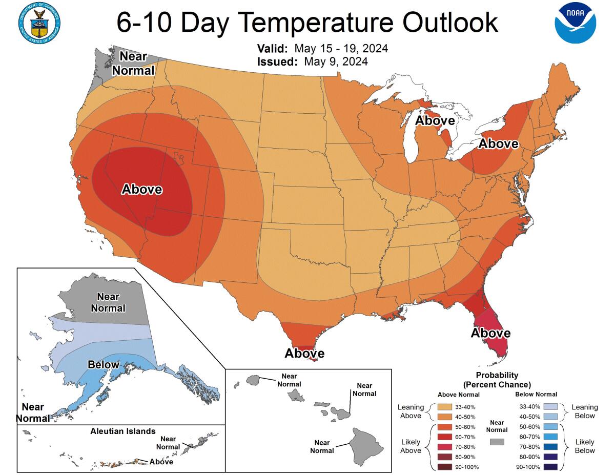
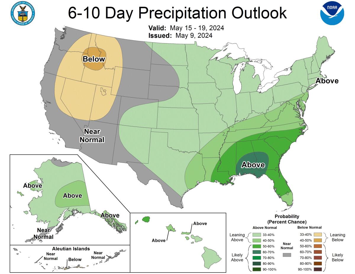
The state’s longer-range forecasts show these above-average temperatures sticking around at least through late May, according to the latest Climate Prediction Center’s outlook maps. And the long-range precipitation forecast — from May 15 to 23 — shows most of the state remaining at near normal rainfall, which for May means limited to no precipitation, especially in Southern California.
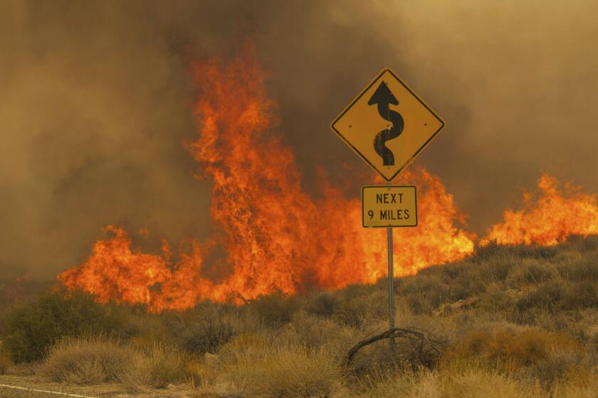
But these shifts are so gradual — and follow such significant rain and snowfall — that officials are still expecting a delayed start to wildfire season. The season can often start as early as April or May in some dry years, but experts say late spring storms and a still-strong snowpack have kept plants from drying out.
“After a pretty good amount of later-season storms … we’re currently on track for a later-onset fire season than some years,” Schoenfeld said.
That’s no reason not to take precautions, she said, as a boom in brush and grass growth from heavy rains can provide dangerous fuel for fires once the plants have dried out. Already this past week, Riverside County saw two relatively small brush fires.
“It’s best to always be prepared, and something like a big Santa Ana [wind] event would put us right into fire season,” Schoenfeld said. “Even if it’s a little bit later than normal, fire season is coming.”
A late start to wildfires, however, may mean a dangerous mid- to late season this year, said Daniel Swain, a UCLA climatologist.
“I think this year is a year we’ll have a slow start, but a particularly pronounced and perhaps intense finish — and one that perhaps lasts longer than usual,” Swain said, speaking recently about climate trends for this summer. “We may genuinely have an unusually slow start and an unusually intense finish in parts of California.”
He expects that by the time the state dries up — likely into August and September — any heat wave could create worrisome conditions, especially for a state that has seen massive underbrush growth after two wet years.
“We’ve seen a lot of vegetation growth and not a lot of fire activity,” he said. “What this means is, there is now a much higher unburned biomass than there was during the drought.”
More to Read
Sign up for Essential California
The most important California stories and recommendations in your inbox every morning.
You may occasionally receive promotional content from the Los Angeles Times.
