- Share via
Flooding from a storm event so severe that it likely occurs once every 100 years would cause far greater damage to life and property in the Los Angeles Basin than federal emergency officials have forecast, according to UC Irvine researchers who warn also that Black and low-income communities would be hardest hit by the disaster.
“We found that nearly 1 million people are living within areas that could be threatened by a 100-year flood,” said Brett Sanders, a professor of civil and environmental engineering. “That’s roughly 30 times more people at risk than what the Federal Emergency Management Agency suggests.”
The study, which was published Monday in the journal Nature Sustainability, does not predict when the next 100-year flood will occur. However, the paper is among the first to examine how whiplashing weather extremes due to climate change may impact the Los Angeles Basin — a region whose development was guided by deep social and racial divisions that favored white residents.
In the Los Angeles Basin, researchers found that Black, Latino, and Asian residents were — respectively— 79%, 17%, and 11% more likely than white residents to be exposed to waist-high flooding.
That’s because a 100-year flood could rapidly overwhelm the area’s principal waterways — the Los Angeles River, the Dominguez Channel, Compton Creek and the San Gabriel River — as well as storm drainage systems that were originally built seven decades ago to make the region habitable, researchers say.
Since that time, the study says, massive urban sprawl has sharply reduced the amount of unpaved ground available to absorb runoff from powerful atmospheric rivers propelled by climate change.
“Our goal is to highlight communities where flood risks are disproportionately high,” Sanders said, “and to provide critical data for protecting lives and livelihoods and for planning and designing cost-effective and equitable flood adaptation measures.”
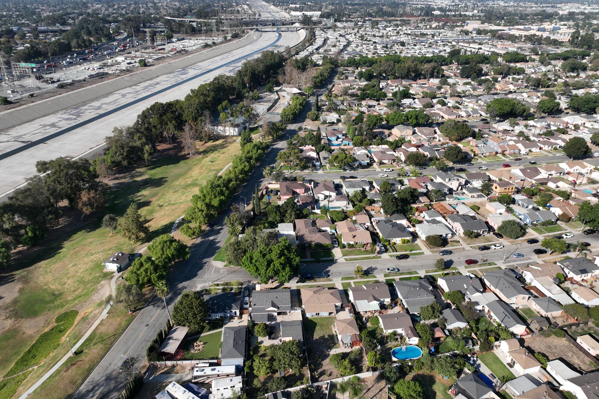
Federal disaster authorities decades ago designated a low-lying zone, stretching 17 miles from Pico Rivera to Long Beach, as a “special flood hazard area” at risk of being swamped during El Nino storm conditions unless the aging system was improved.
Homeowners with federally backed loans within such areas are required to purchase flood insurance. But the study says that property owners outside of it may consider flood insurance unnecessary.
Despite worsening drought conditions, global warming has already doubled the odds that California will experience a catastrophic ‘megaflood.’
If the study’s worst-case projections come true, many low-lying impoverished communities in the vicinity of the region’s aging system of dams, debris basins, storm drains, levees, and sculpted river channels — and outside of federally designated inundation zones — could be under six feet of water.
The study’s unprecedented combination of high-resolution flood modeling and socioeconomic data also forecasts that “such inequities are likely to be reinforced by the challenges and costs of navigating the numerous federal and state agencies and local governments that provide resources for flood protection” and recovery.
The UCI researchers’ analysis of data from 1,767,588 land parcels within about 2,700 square miles indicates that about 874,000 people and up to $108 billion in property stretching from the Santa Monica Mountains south to Long Beach face flood risk.
Major floods would occur, they say, between the Dominguez Channel on the west and the Los Angeles River on the east, with some of them pushing into the communities of Carson, Paramount, Compton, Bell Gardens, South Gate, North Long Beach and portions of downtown Long Beach, including the southern end of Pine Street near the Long Beach Convention Center.
Long Beach alone, the study says, has an exposed population of 88,000 to 262,000 people that is disproportionately Black and disadvantaged. Nearby Paramount has an exposed population of 15,000 to 53,000 people with a similar demographic profile.
In such areas, the study says, flood recovery “is often prolonged and incomplete” due to assistance in flood risk reduction projects and disaster recovery programs that tend to favor more affluent communities.
As California swelters, the governor signed a package of bills aimed at protecting the state from extreme heat.
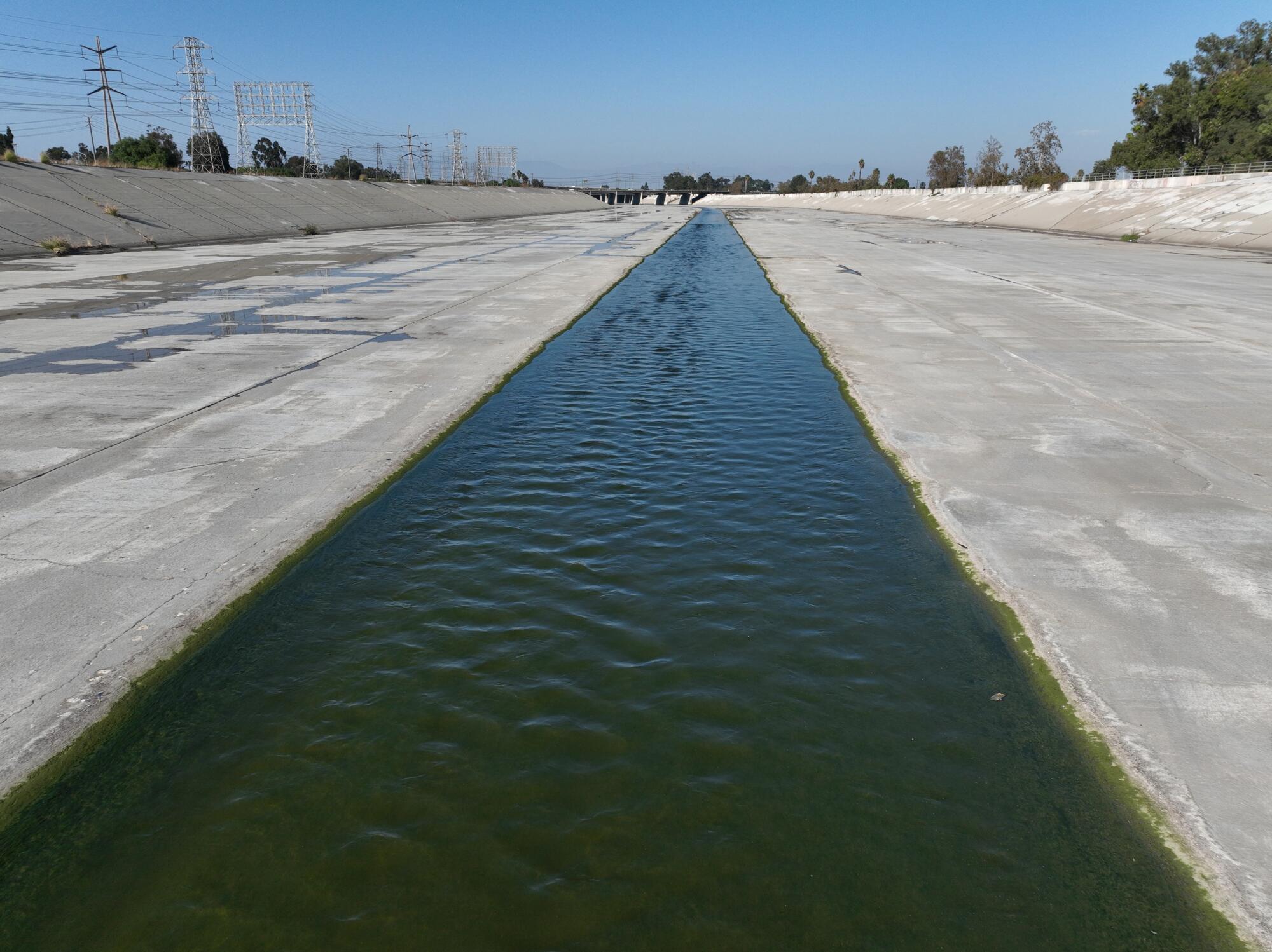
The entire 51-mile L.A. River flood control channel was built in 1938 in response to the destruction caused by a major flood. It was designed to serve three main purposes: keep flood water from destroying lives and property, manage the discharges from sewage treatment plants, and flush storm water to the Pacific Ocean as quickly and efficiently as possible.
Since then, a combination of new high-resolution weather modeling and existing climate models has revealed that the risk of a “megaflood” is increasing as global temperature rises due to climate change that began in earnest a century ago.
The new climate predictions released in the UC Irvine study show that massive flooding in the Los Angeles Basin would disproportionately harm low-lying Black and poor neighborhoods.
“We see complex patterns of flooding with some places deep in water and others shallow,” said Jochen Schubert, a research specialist in geomatics and flood risk at UC Irvine. “So, one idea is to lift residences up on stilts three or more feet in inundation zones.”
“It also makes sense,” he added, “to alert high risk neighborhoods to begin raising electrical outlets and taking steps to prevent floodwater from disintegrating dry wall.”
Long Beach officials have dismissed such proposals — at least for now. They say it’s unrealistic, given the cost of elevating a modest single-family stucco home ranges between $50,000 to $100,000.
“We can require certain flood-related requirements in future construction,” said Christopher Koontz, acting director of Long Beach’s development services department. “But many of our existing homes along the flood control channels are more than 100 years old, and we’re in the middle of a housing shortage.”
“So, unless it is paid for by the government,” he added, “we’re not going elevate thousands of housing structures.”
A more pressing concern is what Mark Pestrella, director and chief engineer of the Los Angeles County Flood Control District, described as “rain from one of these crazy new storms coming down so hard in some neighborhoods and along some highways that our drainage systems can’t get rid of all that water fast enough.”
Long Beach recently adopted a new “Comprehensive Plan to Combat Climate Change” to focus post-disaster relief efforts in “low-income communities and communities of color” in areas including “along the Los Angeles River channel where the risk of urban flooding is expected to increase.”
On a recent morning, Koontz gestured toward hundreds of modest stucco homes built adjacent to a southern stretch of the Los Angeles River channel that empties into the Long Beach Harbor.
“The storm drain system here isn’t big enough to handle a huge amount of rain,” he said, shaking his head. “If this area was under water for months — forget about it, we’d have to tear everything down.”
“So, this area needs some help,” he added, “but it’s going to take time.”
California officials say a marsh restoration site provides key fish habitat. Critics say much of the land is too high above sea level to benefit fish.
Eric Tate, an associate professor at the University of Iowa and an expert on social vulnerability to floods, said the study reflects a belated concern in the nation — as inland floods continue to rise due to climate change, the impacts are falling disproportionately on lower-income minority communities.
“It’s a big step toward including social equity in the way we think about flood risk,” Tate said. “Imagine if that was something we cared more about and designed around.”
But interviews with residents suggested that some were not all that concerned.
“I’m not really worried about some future flood,” said Alex Navas, 48. As he spoke, Navas trimmed a hedge by the house he moved into three years ago. “It’s like all the warnings about a huge earthquake coming — but who really knows when that will be?”
Then there was Nick Paccione, 65, a lifelong resident of the area who said he was at least vaguely aware of the flood risk.
“Most people around here,” he added with a smile and a shrug, “care more about holding onto their jobs and keeping their heads above water — no pun intended!”
Times staffer Lorena Iñiguez Elebee contributed to these graphics.
