Aerial snow survey above Sierra Nevada range. (Airborne Snow Observatories)
MAMMOTH LAKES — Flying thousands of feet above the Sierra Nevada in a plane equipped with specialized imaging devices, Elizabeth Carey has been scanning the mountains with lasers to precisely map the snow.
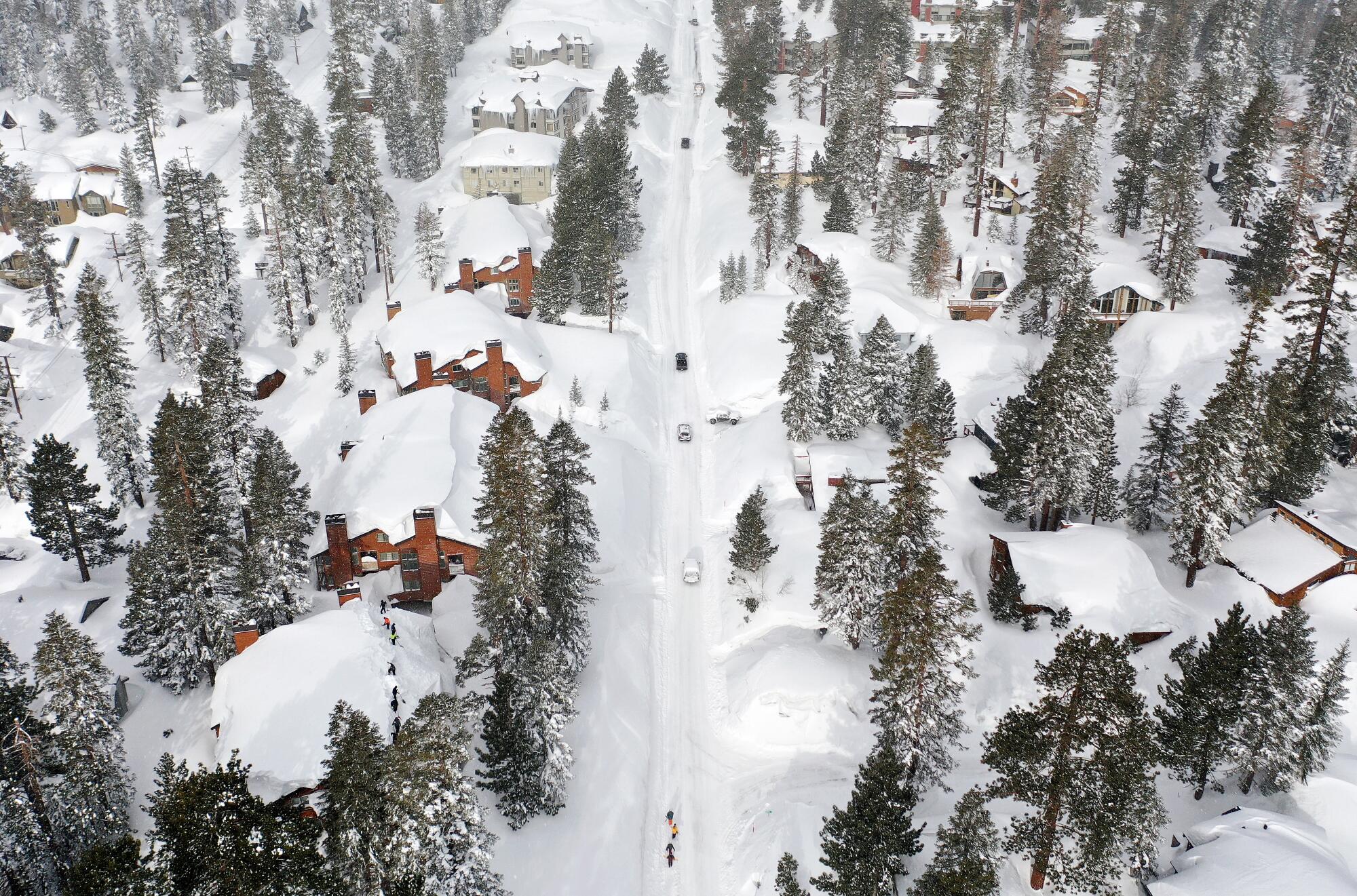
The snow blanketing the Sierra lies so deep that the mountain range looks surprisingly swollen and “puffy,” said Carey, who leads the flights as part of a state-funded program.
“The amount of water that we have in the snowpack this year is just mind-blowing,” she said. “It’s just been extraordinary.”
By mapping the snowpack with laser pulses and spectrometers, Carey and her colleagues are able to provide a detailed picture of one of the biggest snow accumulations ever recorded in the state. The flights are also collecting data to estimate when and how fast the snow will melt, helping California officials prepare for the runoff, manage water releases from dams, and assess which areas are most at risk of flooding.
Their measurements, along with estimates by other researchers, show that when the snowpack reached its peak in April, it held approximately 40 million acre-feet of water, nearly as much as the total capacity of all the state’s reservoirs combined. Although some of that snow has started to thaw at lower elevations, much of it remains in the mountains — setting the stage for melting on a vast scale, as well as enormous river flows that could inundate some low-lying communities.
To help prepare for the onslaught of snowmelt, state water managers and emergency officials are relying on the extensive aerial surveys provided by Carey’s employer, Airborne Snow Observatories Inc.
While collecting data from 23,000 feet, the flight teams have had a rare vantage point to witness the dramatic transformation of the mountains below. In some areas, they have measured snowdrifts that are 80 feet deep or more. Cliffs that once jutted from mountainsides have been buried, disappearing into white slopes.
“It looks like an Arctic landscape,” said Thomas Painter, a snow scientist and chief executive officer of Airborne Snow Observatories. “Each time we fly right now, we’re measuring history.”
Across the Sierra Nevada, this year’s snowpack peaked at about 2.7 times the average, weighing an estimated 55 billion tons, according to Painter.
As of this week, the snowpack stands at more than 300% of average for this time of year, and the southern Sierra is buried in snow that measures more than four times the average for mid-May.
“This is going to be the benchmark against which subsequent years are measured,” Painter said.
The aerial surveys have enabled scientists to obtain much more detailed snow estimates than in the past. Previously, they relied largely on automated snow sensors as well as manual surveys in which specialists trek into the mountains and sink metal tubes into the snow to measure the water content.
The company uses three planes to survey snow watershed by watershed, from the Yuba River basin to the Kings River basin. The flight crews bring back hard drives loaded with data, which feed into computer models that generate detailed forecasts of runoff and streamflow.
The new methods, Painter said, are like “all of a sudden going from radio to high-resolution television.”
The aerial surveys provide a three-dimensional picture of each watershed that is similar to a CT scan, helping to guide decisions about releasing water from dams under high-flow conditions, said Wes Monier, chief hydrologist of the Turlock Irrigation District. The district manages releases from Don Pedro Reservoir, which is now 73% full.
“This is a game-changer in understanding how to make these flood releases,” Monier said. “We’ve never had this intelligence before.”
The company provides data to the state Department of Water Resources, which uses the information to complement measurements from its network of 130 snow sensors across the Sierra Nevada.
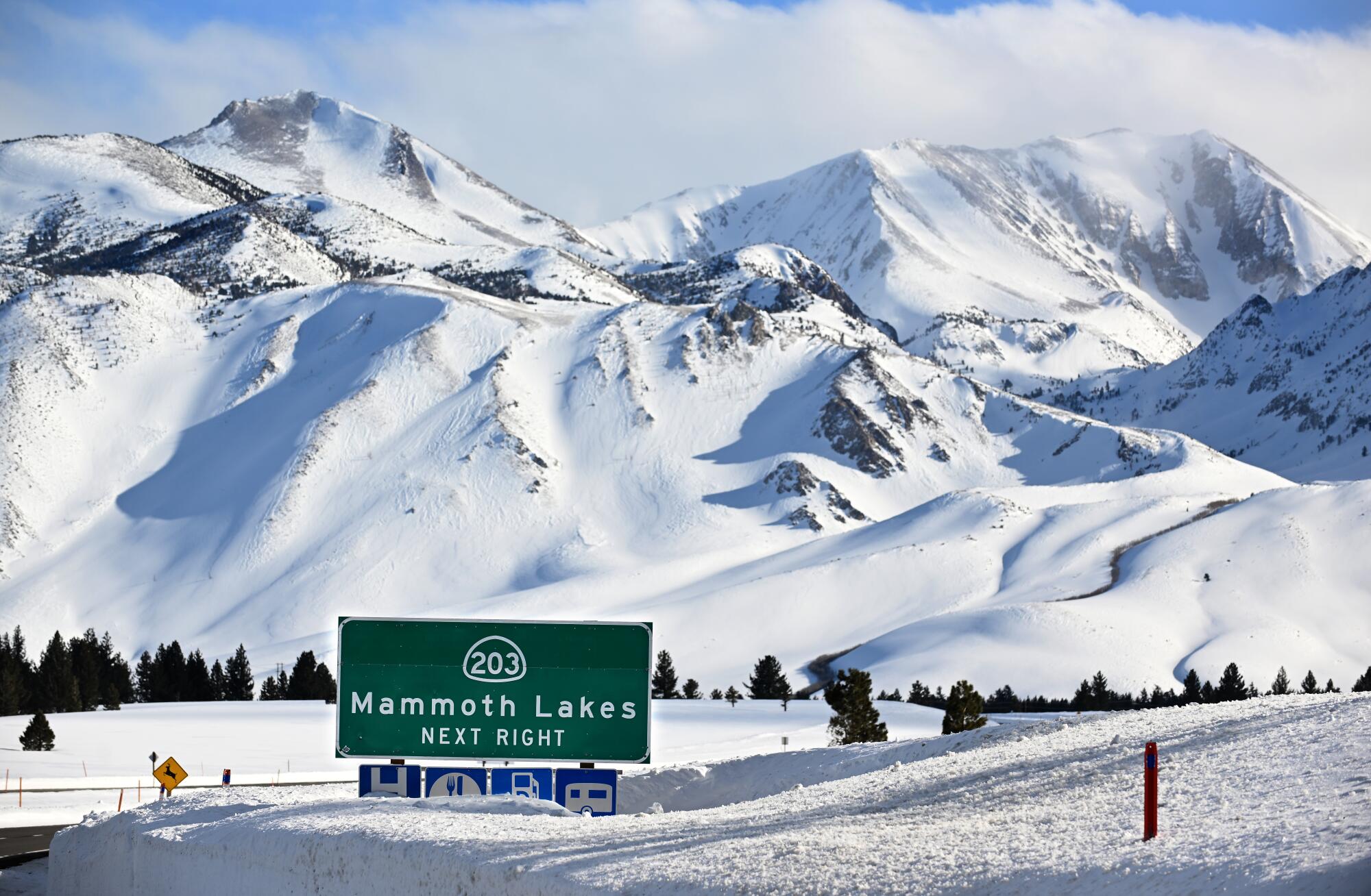
The data is also used by other agencies. When avalanches buried Highway 395 and toppled power lines near Mono Lake, the team flew over the area and mapped the snow, turning over the data to Caltrans and Southern California Edison.
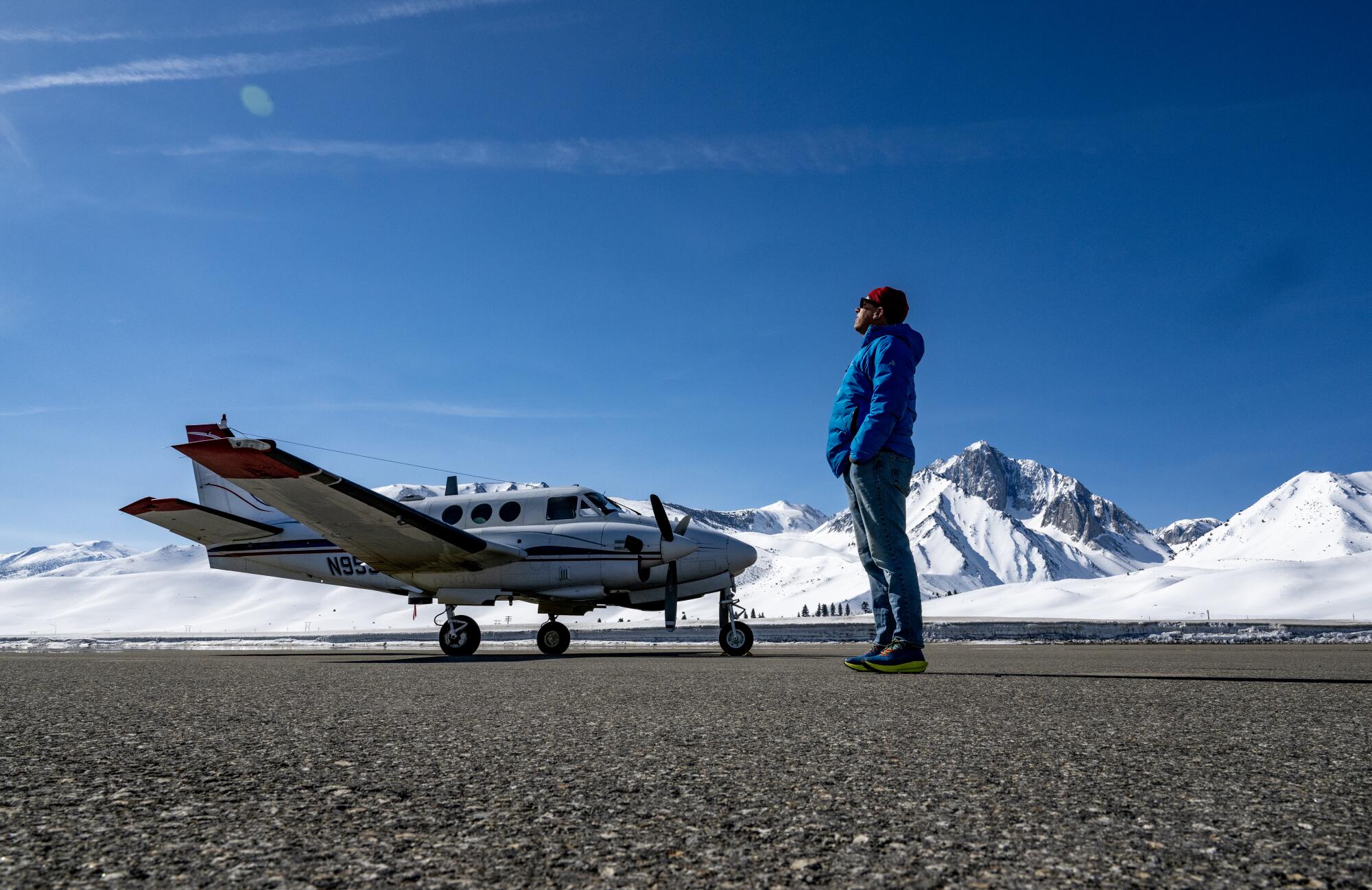
Carey, a former NASA astrophysicist, squatted under a plane’s belly at Mammoth Yosemite Airport recently and pointed out a cylinder packed with gadgets and lenses, including two high-resolution cameras, two spectrometers and the dual-laser scanning lidar system.
In each watershed, the crew will fly in a series of lines back and forth.
“We just mow the lawn over the Sierra Nevada, and shoot laser pulses out of the bottom of the plane,” Carey said. “We shoot about a half a million laser pulses a second.”
The lasers penetrate less than a centimeter into the snow, allowing the team to compare each measurement to snow-free readings of the landscape, revealing how deep the snowpack is.
“We go as fast as we can,” Carey said. “We can get so much information just from a short six-hour flight.”
One of the rented planes, a King Air 90, isn’t pressurized like a regular passenger plane, requiring the crew to use oxygen masks to breathe in the thin air.
They usually finish their survey flights in June. But with so much snow this year, they plan to keep flying into August.
The spectrometers that gaze downward from the aircraft capture images in hundreds of wavelengths, from the visible spectrum to shortwave infrared. This measures the albedo, or reflectivity, of the snow — a key factor in how quickly it will melt.
When snow lies on the ground for weeks or months, the grains of snow grow larger, absorbing more sunlight and accelerating melting. If dust has blown onto snow, the darker surface will also lead to faster melting. But this year, the storms repeatedly laid down fresh powder, leaving a highly reflective snowpack.
The first week of May, a rare late-season storm brought another coating of fresh snow. Painter said the snow’s high reflectivity slowed the initial melting.
Well into the spring, he said, the snowpack remained “very clean, very bright,” reflecting the sunlight and largely staying frozen.
In recent days, however, he said the snowpack has been darkening at low elevations. Temperatures have been rising, and the melting has been accelerating.
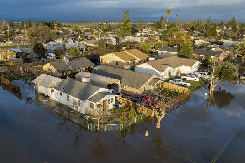
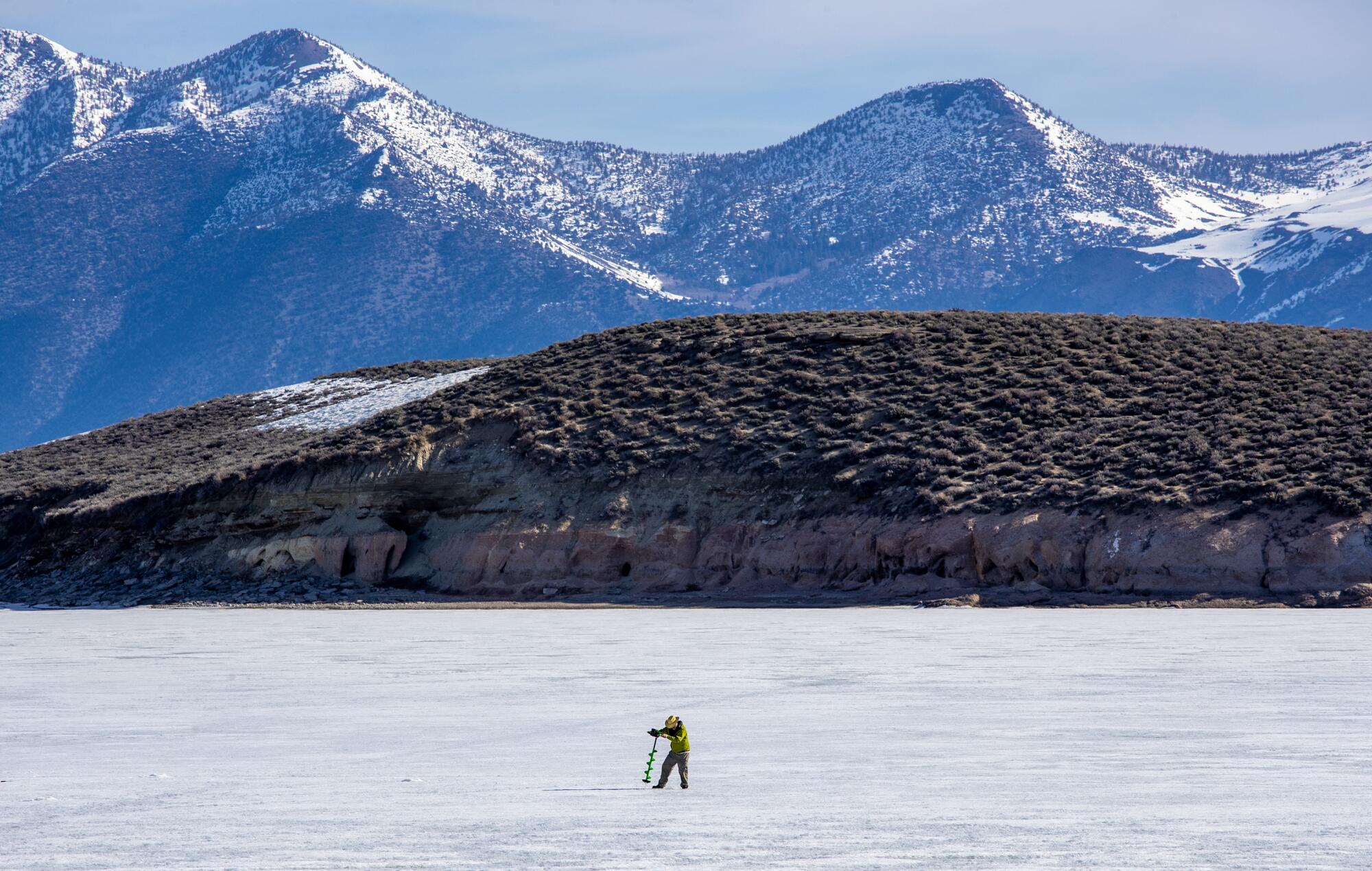
In the southern San Joaquin Valley, runoff has been refilling the long-dry Tulare Lake, inundating tens of thousands of acres of farm lands. The snowmelt also threatens low-lying towns nearby.
Some who manage California’s reservoirs have been comparing this year’s snowmelt to “a runaway train that you can see and predict quite well, but you just can’t stop,” said Noah Molotch, a research scientist at NASA Jet Propulsion Laboratory who estimates the snow water equivalent across the Sierra. “They have a pretty good handle on the amount of water that’s going to be coming into their systems. They just don’t have anywhere to put the water.”
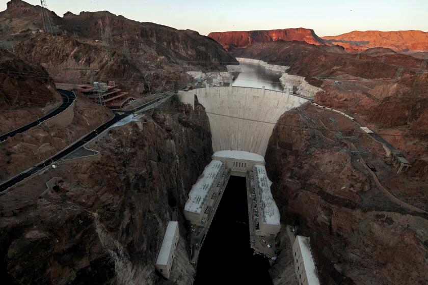
The snowpack is so deep that it currently contains roughly 30 million acre-feet of water — more water than Lake Mead, the nation’s largest reservoir.
The pace of melting will depend on temperatures in the coming weeks. If the snowmelt runoff comes at a moderate pace, it will be more manageable, Molotch said.
Based on current trends, some Sierra watersheds will hit peak flow in mid- to late May, while others will peak in June, Molotch said.
He and other experts caution that even as the big snowpack has brought a measure of relief for California‘s water supplies after three extremely dry years, the state’s long-term water challenges remain and will grow more acute as the climate continues to warm.
The extreme shift from the record drought to this historic snow year demonstrates the “climate whiplash” phenomenon that the state needs to prepare for, said Mark Gold, director of water scarcity solutions for the Natural Resources Defense Council.
“It should make it clear to everyone that how we’re managing water resources in California needs to change,” Gold said. “We have to plan for the extremes in climate more appropriately, and that’s not something that we’re doing adequately as a state.”
Gold said that includes planning projects to capture much more water during extremely high flows to replenish depleted groundwater in the San Joaquin Valley. He said preparing for extremes also requires using the best available science, including remote sensing by planes and satellites.
A new state plan for the Central Valley calls for spending as much as $30 billion over 30 years to prepare for the dangers.
Painter said the aerial snow surveys have become a “part of the state water infrastructure” and are vital for improving water management as climate change unleashes more intense swings between dry spells and extremely wet conditions.
Painter started the program in 2013 when he was working at JPL in La Cañada Flintridge. Using a single plane, he and his team took measurements of the smallest snowpack on record in 2015, and then surveyed deep snow in 2017, when runoff filled the state’s reservoirs.
Painter left NASA in 2019, carrying on the work through a spinoff by transferring the technology to Airborne Snow Observatories, a new public benefit corporation. The company now has 22 employees.
Painter’s team has made 42 flights over the Sierra Nevada so far this year. It has also been flying over the Colorado River Basin and other parts of the West to collect data.
In the Sierra Nevada, state officials continue operating the network of automated snow sensors and doing manual surveys in about 250 locations. Those measurements on the ground add to the aerial survey data.
“It gives us for the first time, really ever, a true watershed-scale accounting,” said David Rizzardo, manager of the Department of Water Resources’ hydrology section. “And it does it extremely accurately.”
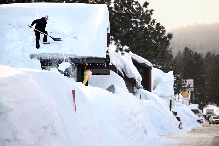
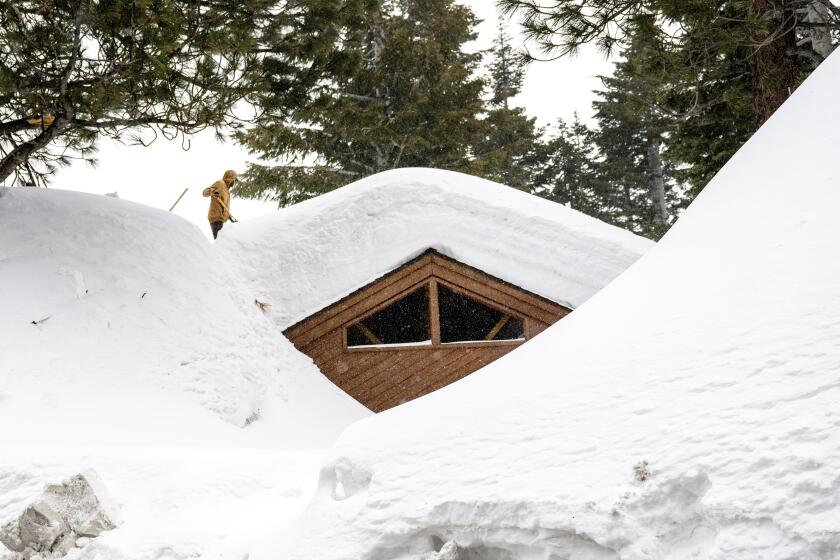
Epic snowfall at Mammoth Lakes has become a nightmare for residents of this California ski resort community.
The flights have been surveying 12 of the 18 mountain basins monitored by the state, typically flying three or four times annually in each watershed. Rizzardo said the state’s goal is to expand the program to all 18 watersheds and fly six to eight times per year in each.
On a personal level, Painter said he feels happy seeing all the snow. Next to his house in Mammoth, the snow has been up to 20 feet deep. He is looking forward to skiing all summer long.
In his years studying snow in the Sierra Nevada, Painter has seen glaciers retreat with the rise in temperatures. This rare heavy snowpack will make for a year of glacier-building, but he expects the expansion won’t last long.
“We know that with climate change, we’re not going to be seeing a lot more big, snowy years. A lot of these are going to change into rain, more and more rain,” Painter said.
“And so there’s something very sentimental about it,” he said. “I think we’re really, really lucky to live through a year like this.”
