You’ll take in reservoir views and patrolling hawks on this scenic San Dimas walk
This San Dimas stroll will be too far afield for some folks, but Bonelli Park is a great place to take a long, flat walk by a large body of water that isn’t the ocean.
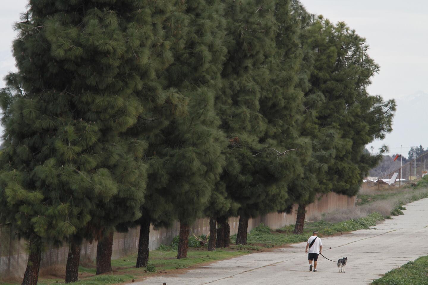
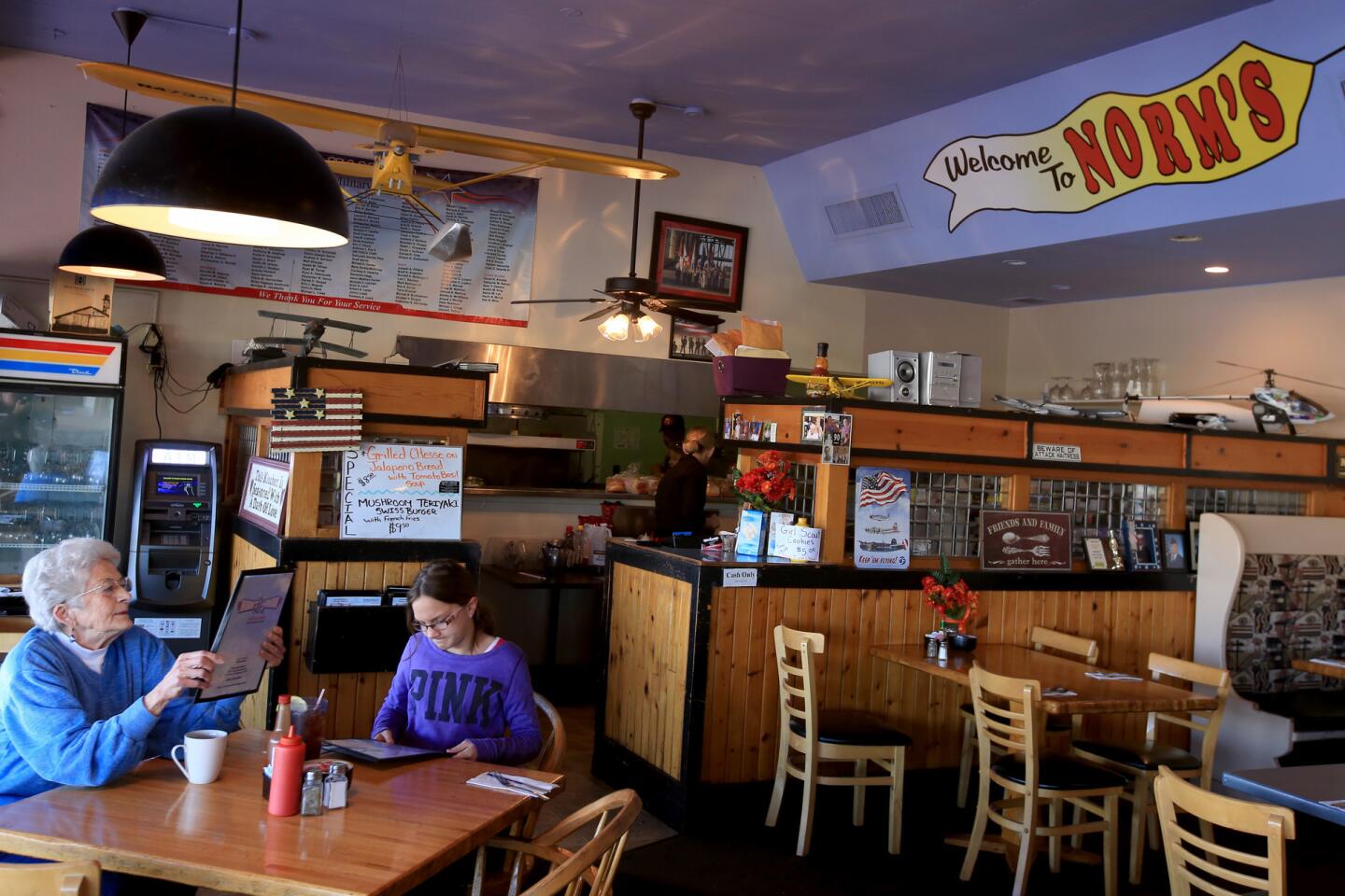
1. Find your way to the back side of Brackett Field Airport, at the large parking lot at 1615 McKinley Ave. After admiring quaint Norm’s Hangar snack shop (open daily from 7 a.m. to 3 p.m.), walk past the wide, green gates onto the asphalt road parallel to the runway.
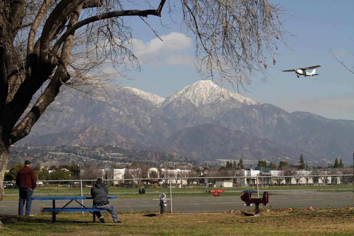
A plane takes off at Brackett Field Airport.
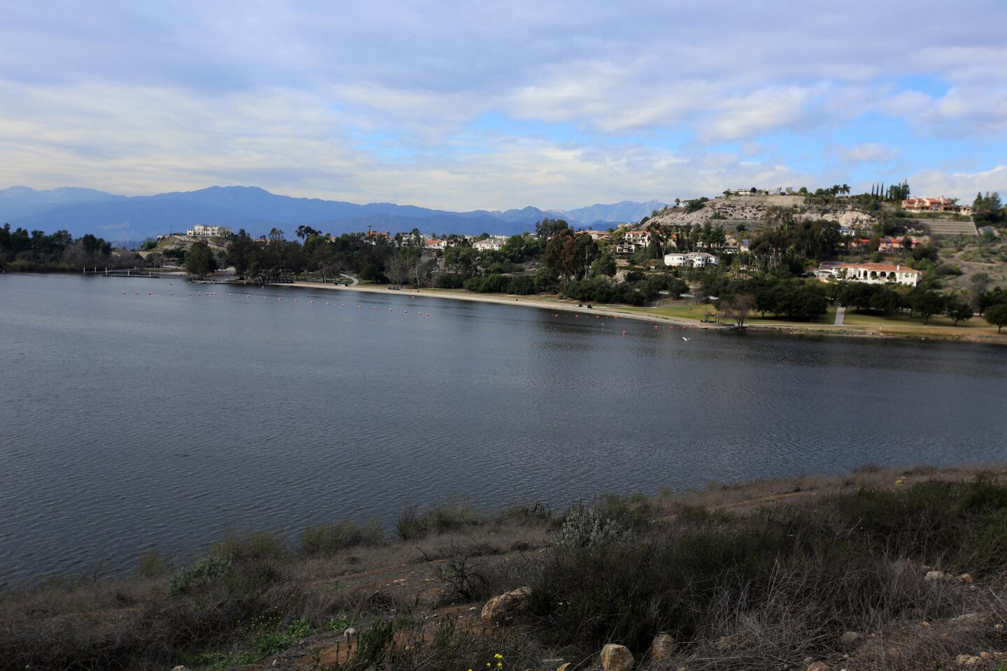
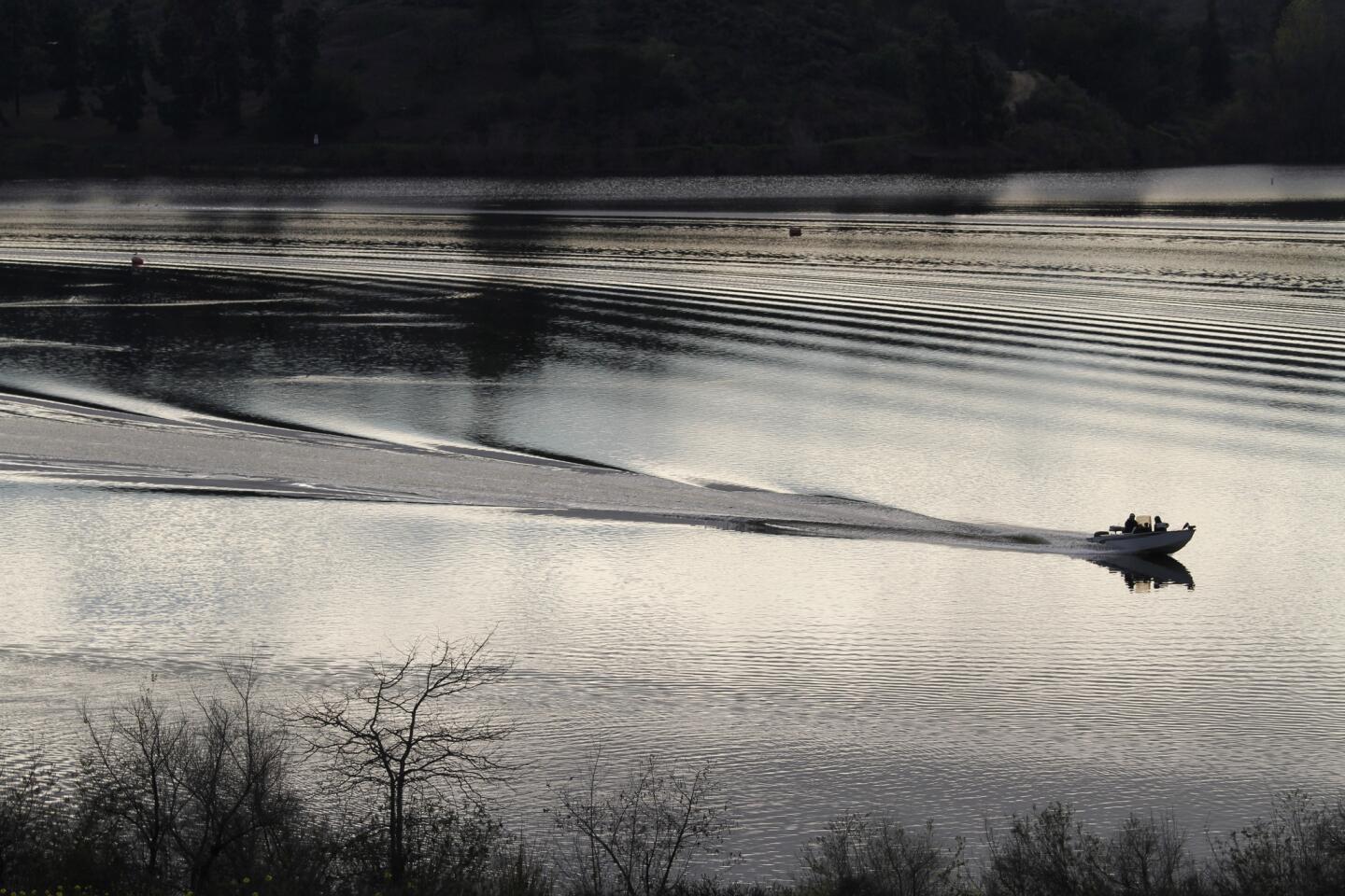
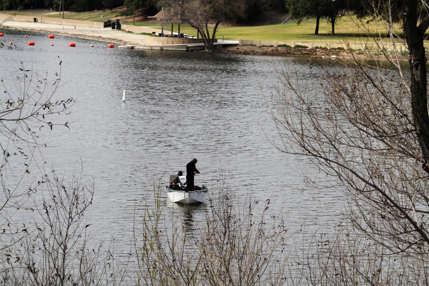
2. Pass another gate, entering Frank G. Bonelli Regional Park, and veer slightly left into a parking area that is home to some massive RVs. Turn right at the first corner and follow the road as it finds and follows the shore of Puddingstone Reservoir — a 250-acre, man-made lake dating to the 1920s. The park offers boating, fishing, horseback riding, hot tubbing and a beach with lifeguards. But the original swimming pool? That’s now the privately owned Raging Waters, next door.
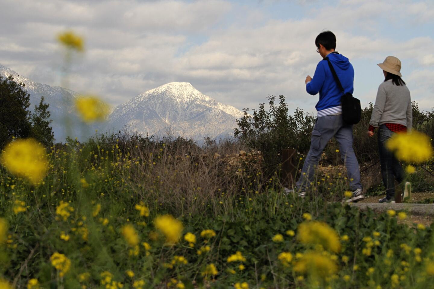
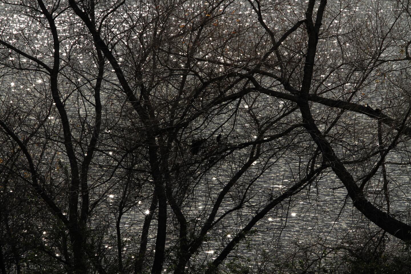
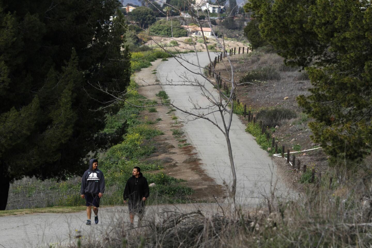
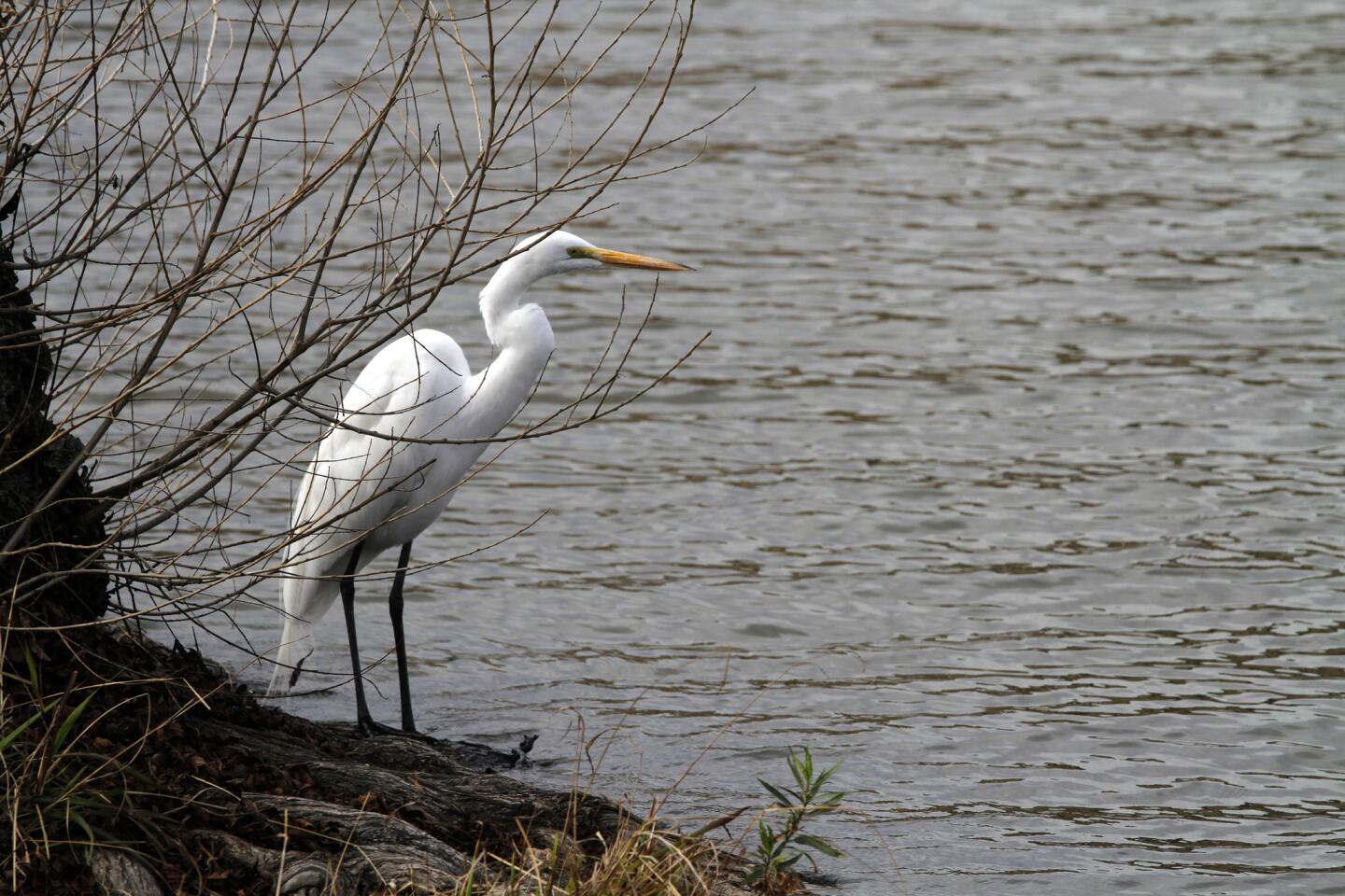
3. Leave the RV park through another gate and begin a slight climb toward a grand Puddingstone overlook with great views of the San Gabriel Mountains and Mt. Baldy to boot. Along the shore you may note the presence of ducks, geese, herons, egrets and other water birds, as well as hawks overhead.
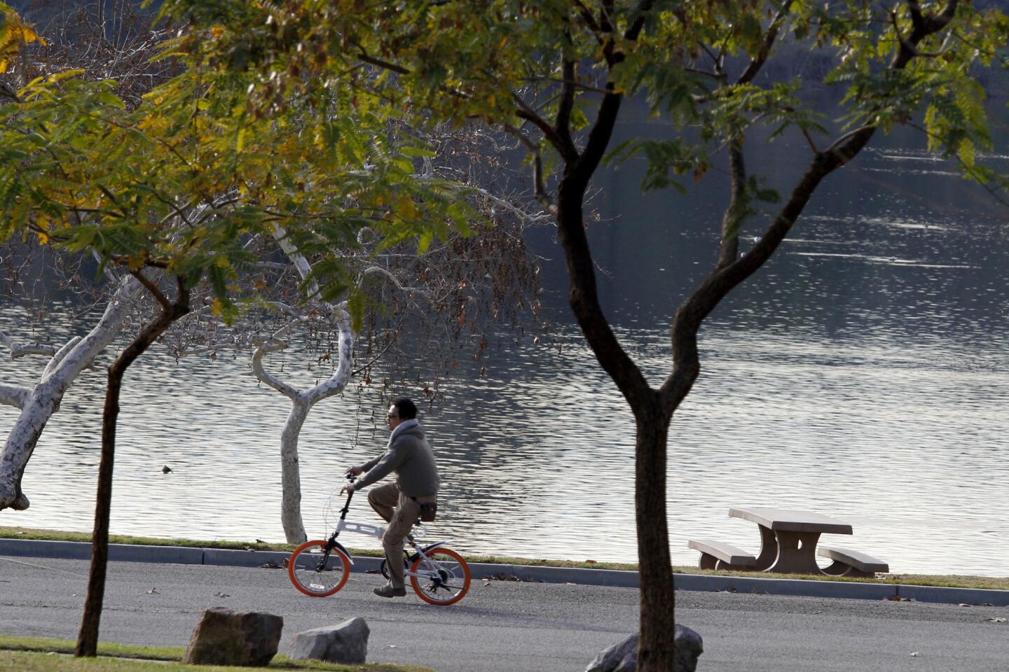
4. At about 1.5 miles, you’ll arrive at East Shore to find picnic tables, shaded benches and public restrooms. For the simple walk, retrace your steps from here back to the parking lot.
5. To add a loop, continue a short distance past the public restrooms to find Kiko’s Trail on your left. Take this wide dirt path as it climbs steeply up a cactus-studded hillside away from the lake.
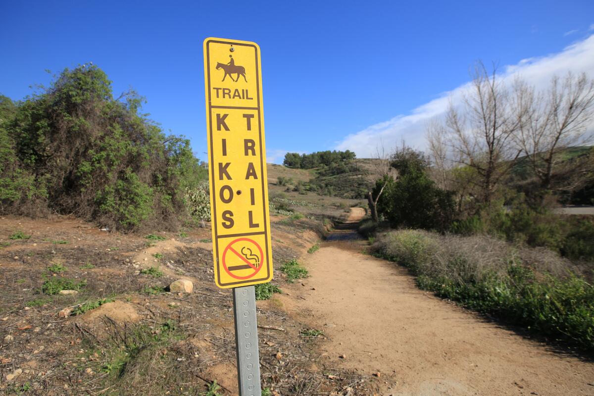
The entrance to the Kikos Trail at Bonelli Park.
6. At a flat intersection, walk straight ahead, leaving the wide path for a narrow trail heading down into a canyon. Stay on this trail until it winds back to the lakefront. Turn right onto the main road and follow this back to your starting point.
Frank G. Bonelli Regional Park
The stats
Distance: 3 miles (plus 1 mile for extra loop)
Difficulty: 2 on a scale of 1 to 5 (4 with extra loop)
Duration: 1 1/2 hours (plus 20 minutes with extra loop)
Details: Ample free parking. Wheelchair and stroller friendly. Open to bicycles. Dogs on a leash are OK.
Fleming is the author of “Secret Stairs: A Walking Guide to the Historic Staircases of Los Angeles” and “Secret Walks: A Walking Guide to the Hidden Trails of Los Angeles.” Each month, he leads a hike in and around Los Angeles. Find out more at his Facebook page, Secret Stairs. Plus: Go online at latimes.com/lawalks for more great walks in and around Los Angeles.
