Think Malibu Creek State Park is too crowded for a hike? Here’s a sneaky way in

- Share via
Malibu Creek State Park, in the Calabasas area north of Los Angeles, is a great hiking hangout, replete with sunny hillsides, shady valleys and hidden streams and lakes. But it’s so popular that parking, especially on the weekend, is a nightmare. (It could be even more crowded while Runyon Canyon is shut down for repairs.) To get the benefit of Malibu Creek park without the hassles, try this northern entrance.
1 Leave your car in the parking area behind the “Reagan Ranch” sign, off Lake Vista Drive, just south of Mulholland Highway. Begin walking into the park along a straight paved driveway lined with tall eucalyptus trees.
2 Stay to the left of a set of ranch buildings (once owned by Ronald Reagan, before he began his political career, but now used by park rangers) and pick up narrow, unpaved Yearling Trail as it descends to the left into a wide, grassy valley.
3 Stay left on the same trail, avoiding spurs off to the right. At the bottom of a ravine, continue straight ahead — and up a steep slope — as Yearling Trail becomes Lookout Trail.
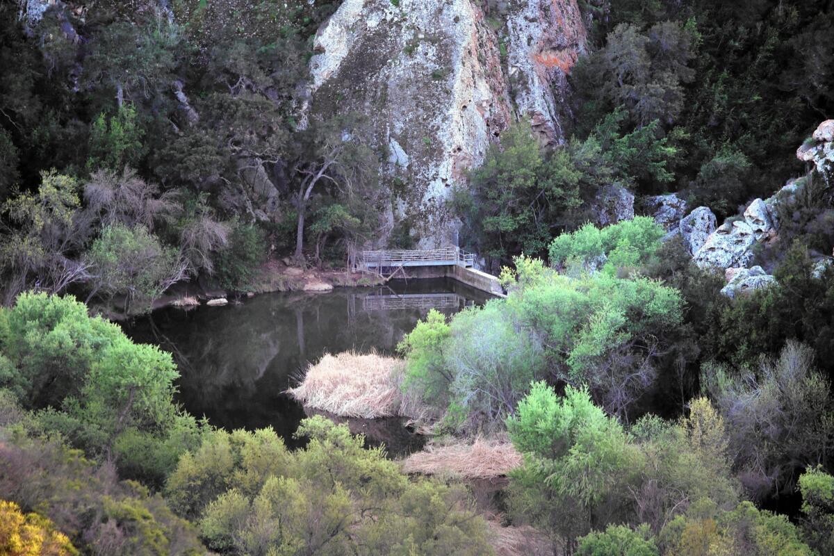
4 Lookout Trail will wind and climb in and out of shady spots and emerge finally at a flat section with trails heading in several directions. Avoid those marked Mulholland Highway and Cistern Trail. Instead, stay on Lookout as it bends left and starts to descend — presenting fine views of the southern end of the park, the distant Hindu Temple and Century Reservoir.
5 Lookout Trail spills onto Crags Road. Take a left to visit the reservoir and its tiny waterfall. Then return the way you came, back uphill on Lookout Trail, for the easier of these two walks.
6 For the more difficult walk, turn right from Lookout onto Crags Road, and walk into a narrowing valley, toward Forest Trail. You’ll see the upper reaches of the reservoir on your left and if you were to continue much farther up the valley, a filming site for the TV show “MASH.”
7 A quarter-mile up from the reservoir, on your right, catch the marked Cage Creek Trail as it leaves Crags Road and begins to climb — quite steeply — up a crumbly hillside. Follow this narrow trail as it rises up and over the ridge, and then descends back to the grassy valley where you started your walk. At the T-intersection with Yearling Trail, turn left and return to the parking lot.
The stats
Distance: 4.5 miles (or 4 miles for the harder walk)
Difficulty: 3, on a scale of 1 to 5 (or 5 for the harder walk)
Duration: 2 hours
Details: Free parking. Dogs not allowed.
Fleming is the author of “Secret Stairs: A Walking Guide to the Historic Staircases of Los Angeles” and “Secret Walks: A Walking Guide to the Hidden Trails of Los Angeles.” To join his free monthly walks in and around Los Angeles, visit the Secret Stairs Facebook page.
More to Read
Sign up for The Wild
We’ll help you find the best places to hike, bike and run, as well as the perfect silent spots for meditation and yoga.
You may occasionally receive promotional content from the Los Angeles Times.


