What is June gloom? The reason behind gray summer skies

- Share via
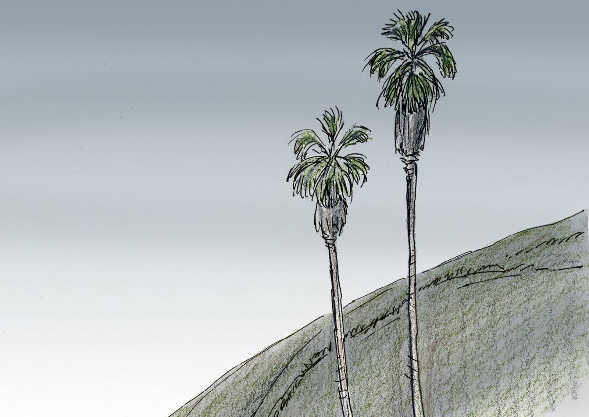
The gray, dreary skies you’re waking up to these days are a Southern California phenomenon known as “June gloom,” and the current siege is likely to last for a few more days.
Geography, ocean currents and weather patterns conspire at this time of the year to cause overcast mornings and occasional coastal drizzle. This may disappoint beachgoers, especially when the marine clouds linger well into the afternoon, but the overcast skies also shield us from the heat of the sun when it’s at its most direct.
It’s all part of living with a marine climate. The condition is mostly confined to late spring and early summer. When the phenomenon occurs early, we call it “May gray.” And since the Pacific Ocean is the 800-pound gorilla of global weather, it can make it happen later, too. Then we may call it “No-Sky-July” or “Fogust.” But generally by the second half of July, high pressure takes control and the thick marine layer is banished for the summer.
Here’s a look at the typical formula for the Southland’s gray mornings:
1. Weather systems converge near the West Coast
Low pressure in the Gulf of Alaska and the Pacific Northwest promotes strong west to northwesterly winds along the coast, while high pressure lies to the east of California.
2. Cool sea breeze pushes marine layer inland
Cool ocean water produces a heavy, moist marine layer, which is pushed inland by onshore flow throughout most of May and June.
3. Catalina eddy pays a visit
Northwest winds slow down south of Point Conception and turn toward the Southern California coast during the morning hours. A counterclockwise spin called a Catalina eddy develops. This eddy behaves much like a low-pressure system.
4. Low clouds and drizzle
Moist air lifts and condenses into low clouds. Drizzle may result if the lift is strong enough.
5. Putting a lid on it
The clouds are trapped beneath an inversion layer of warmer air, which acts like a lid or cap. This lid may be at about 3,500 feet, and may strengthen because of the temperature differential between air above it and below it. Hotter temperatures inland during May and June may also strengthen the inversion. Depending on the depth of the marine layer, the clouds usually dissipate as the day progresses.
6. Gray mornings give way to blue summer skies
Eventually, high pressure develops in the Pacific and low pressure forms in the Colorado River desert region, creating a typical summer pattern. Clockwise flow around the high and counterclockwise flow around the low reinforce the offshore flow in Central California and Southern California.
Graphics and reporting by Paul Duginski
Sources: Bill Patzert, retired Jet Propulsion Laboratory climatologist; Eric Boldt, National Weather Service, Los Angeles/Oxnard; Times reporting
More to Read
Sign up for Essential California
The most important California stories and recommendations in your inbox every morning.
You may occasionally receive promotional content from the Los Angeles Times.


