L.A. storms: 1,000 Glendora homes in path of potential mudslides
- Share via
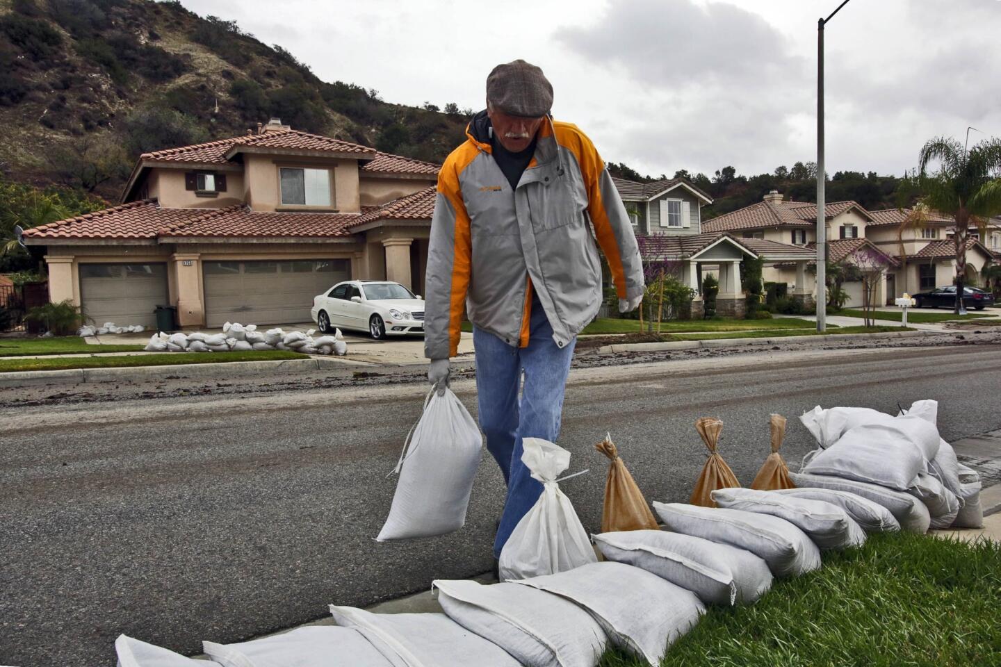
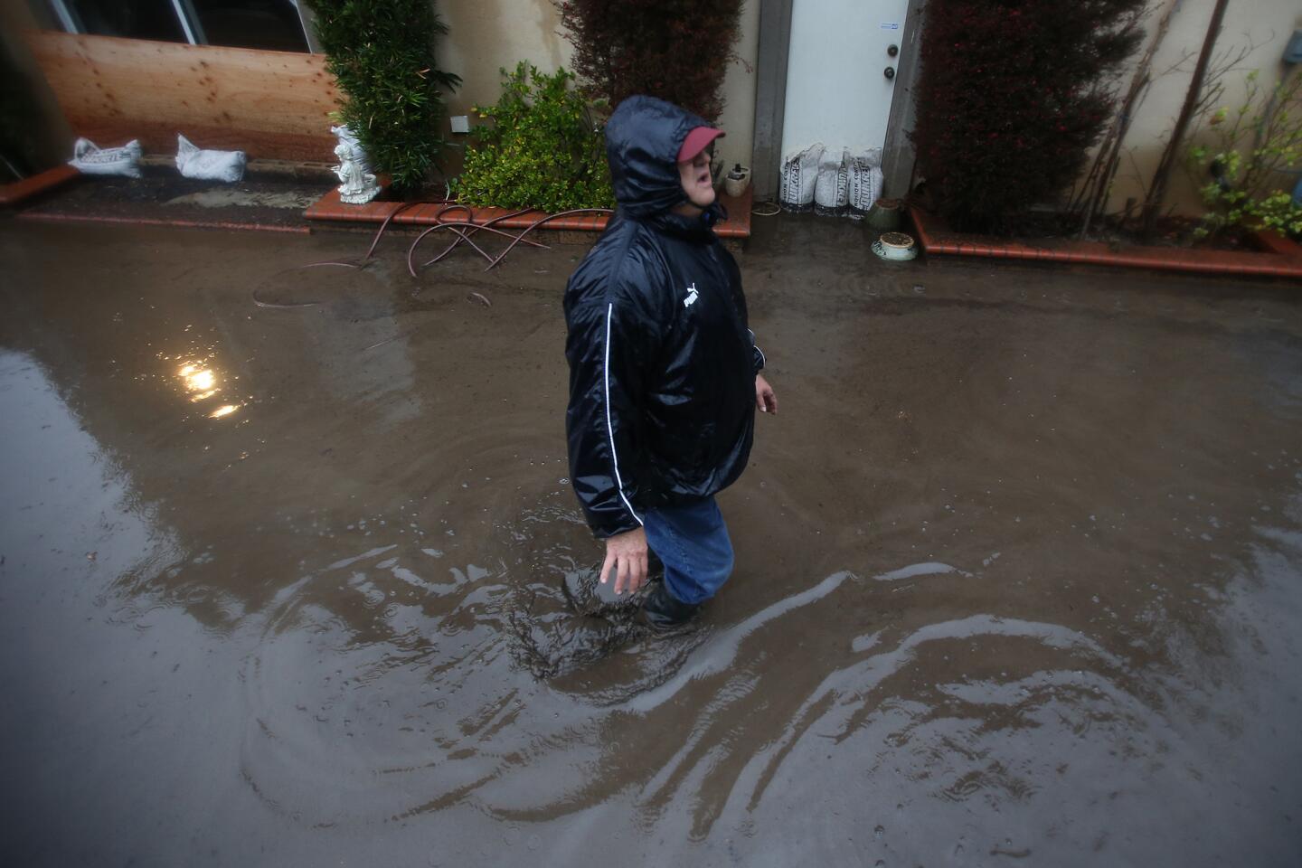
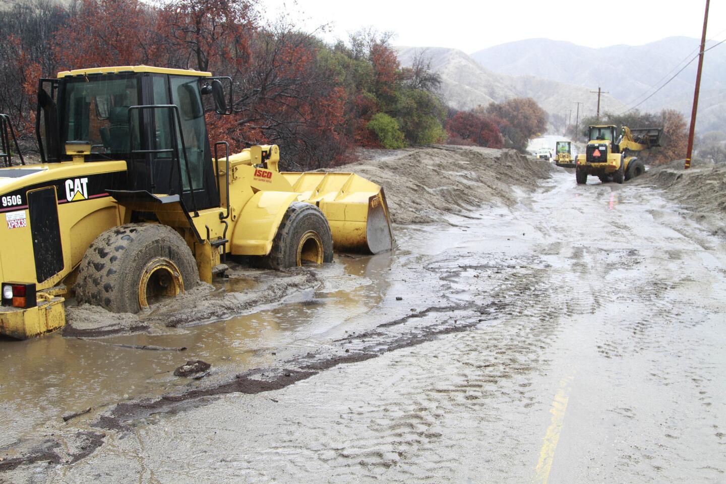
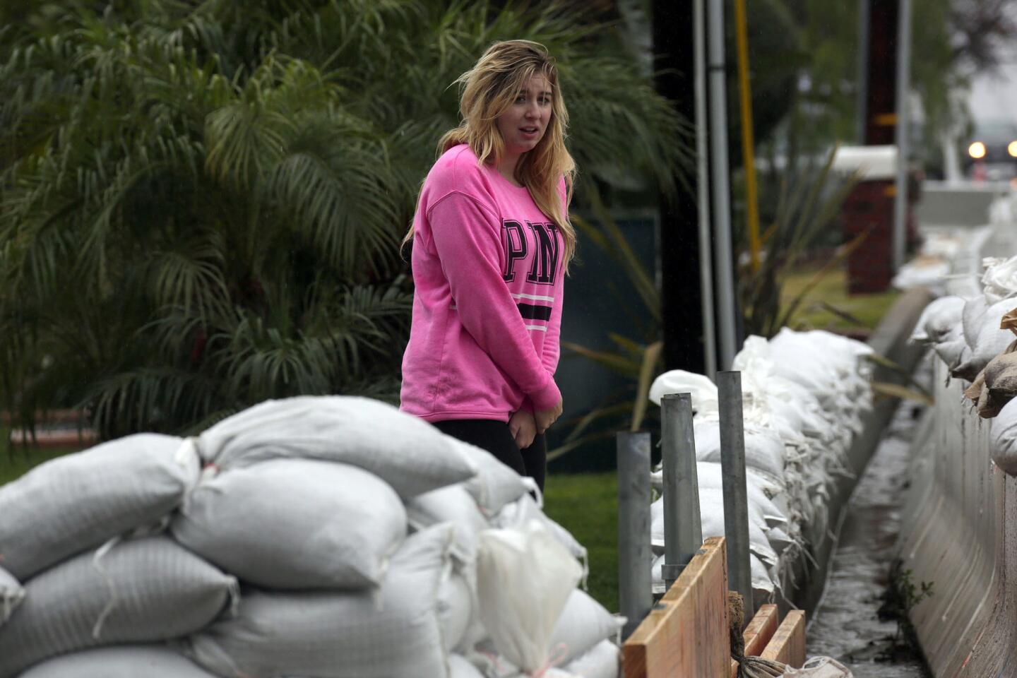
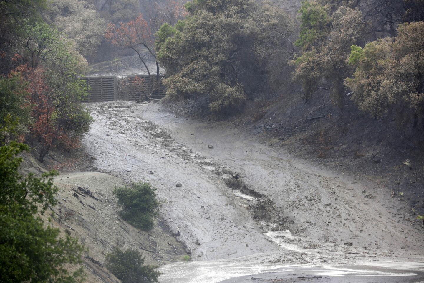
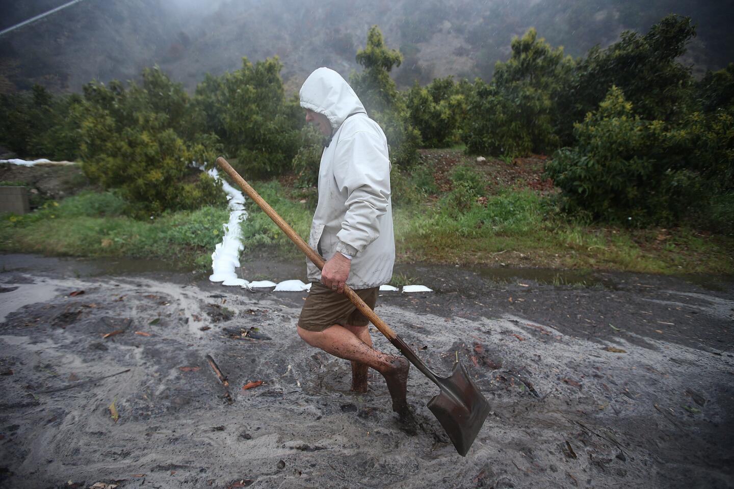
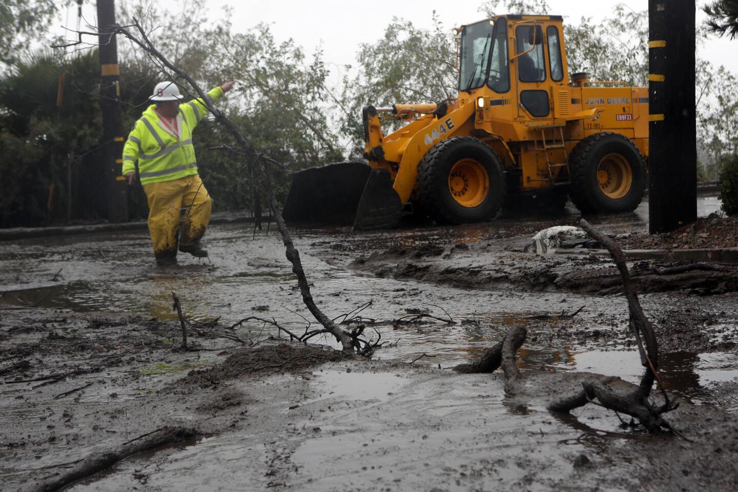
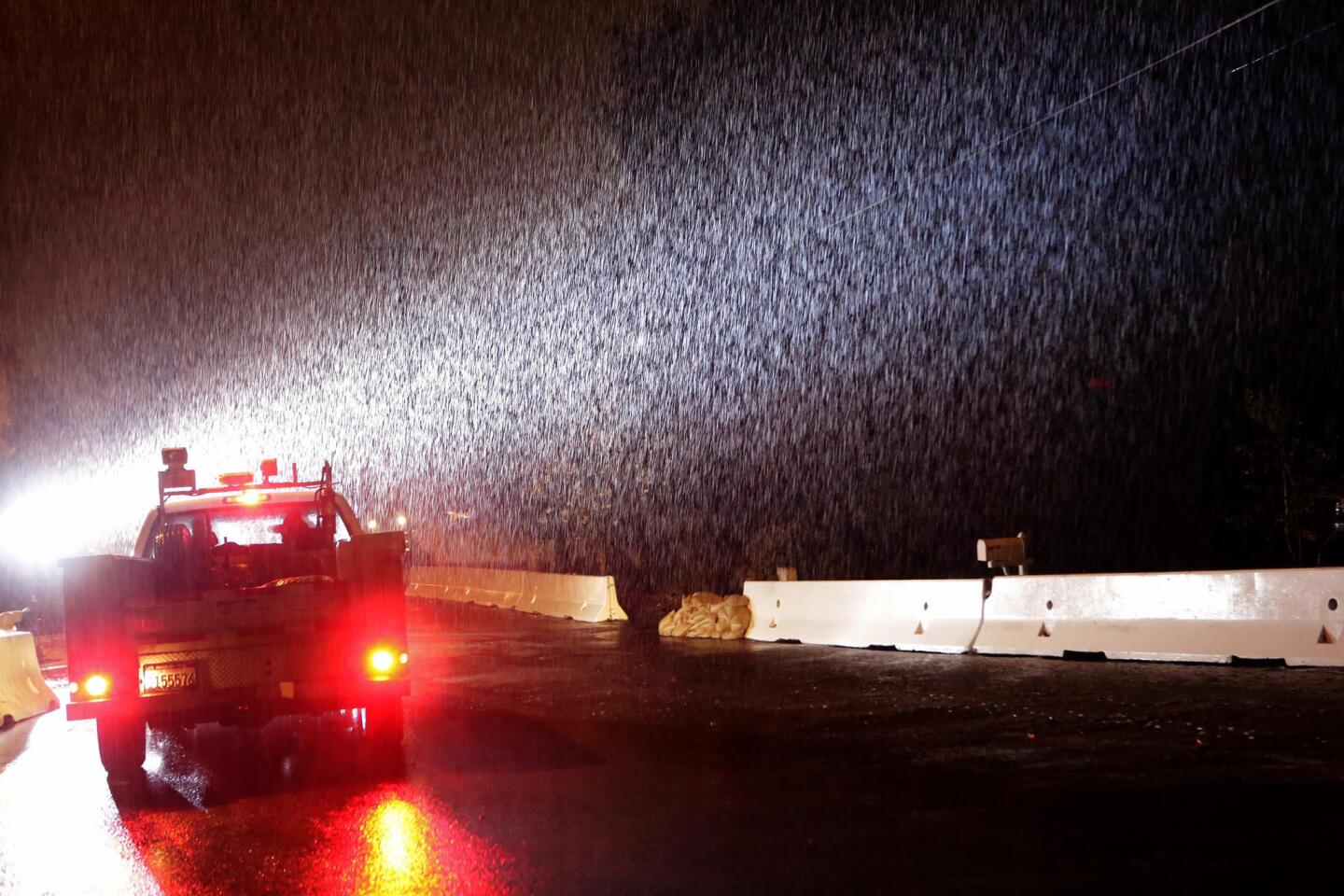
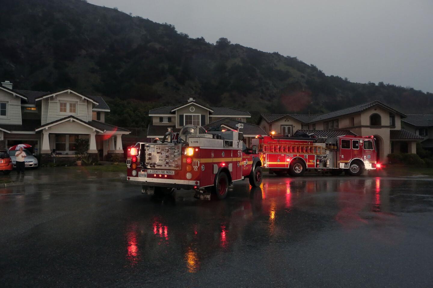
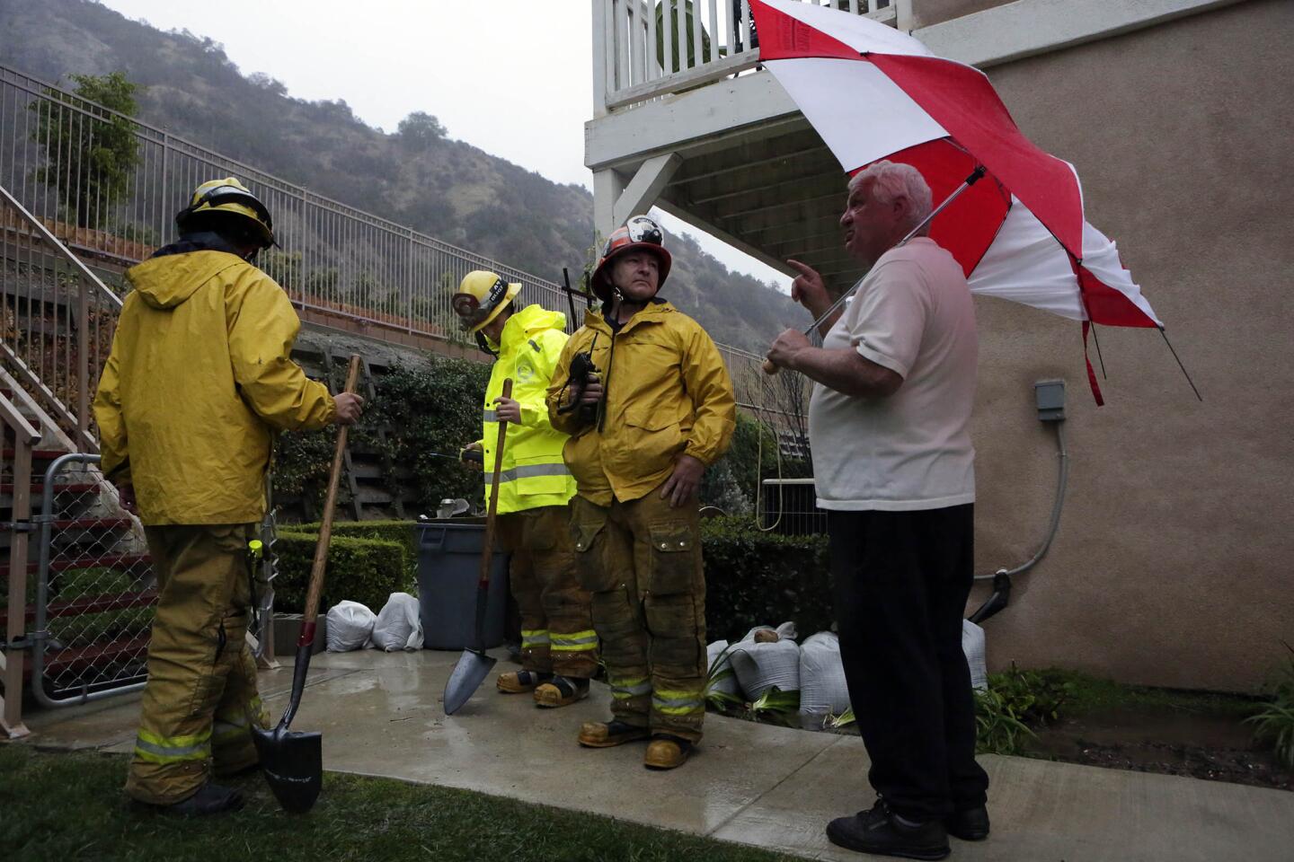
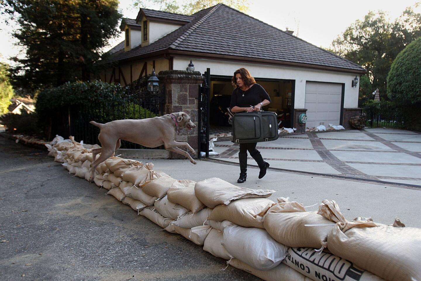
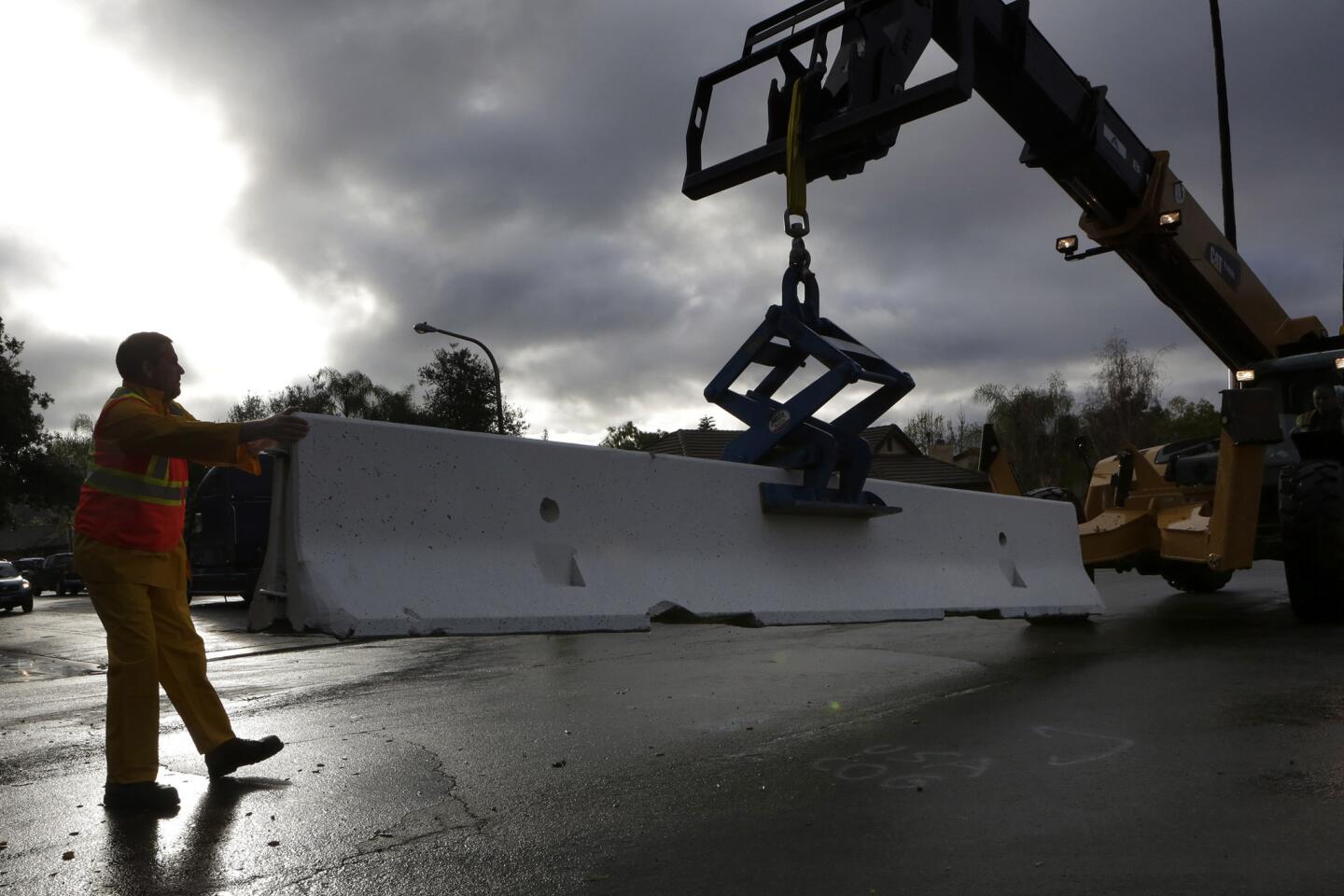
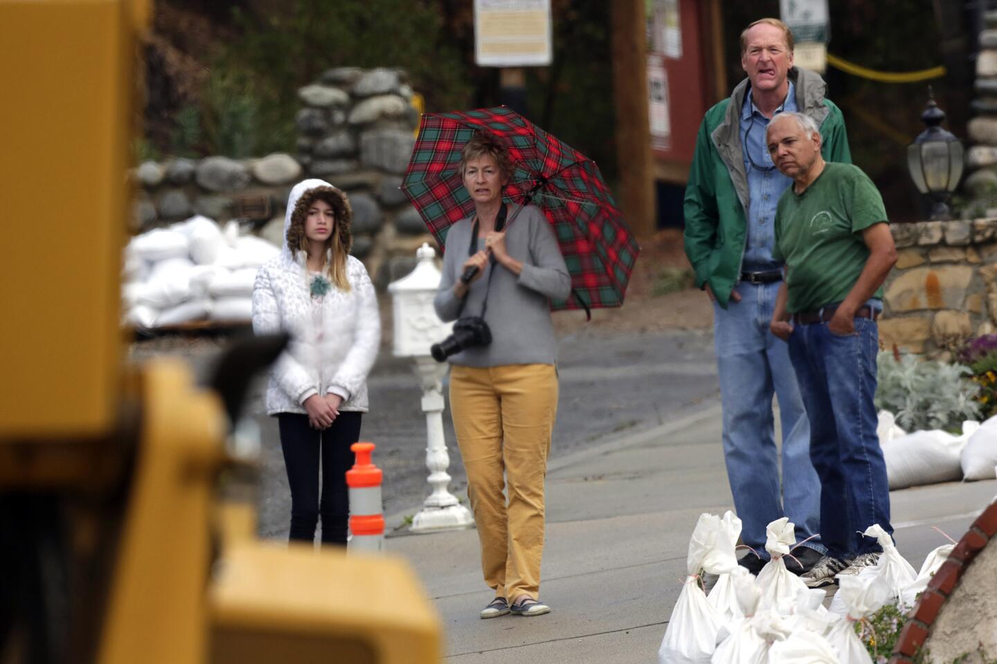
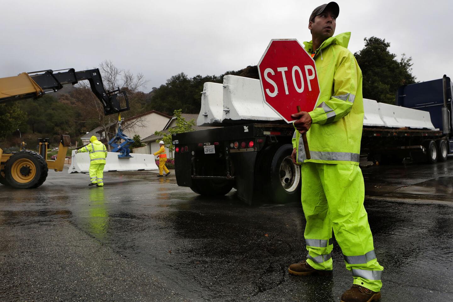
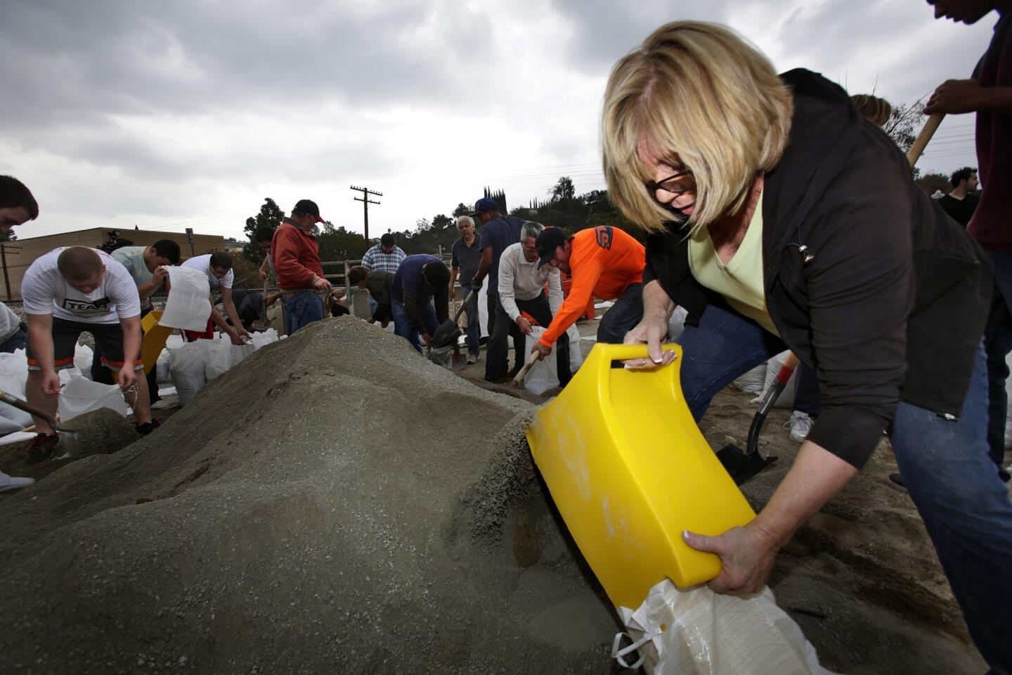
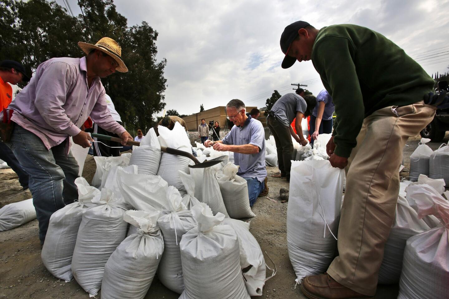
The sun may have been shining in Glendora on Thursday morning, but crews continued to work in 12-hour shifts to fill sandbags and lay concrete K-rails along the base of the fire-charred foothills.
“We’re preparing for the worst, hoping for the best,” Glendora City Manager Chris Jeffers said. “We can’t prevent it; Mother Nature is gonna do what Mother Nature is gonna do.”
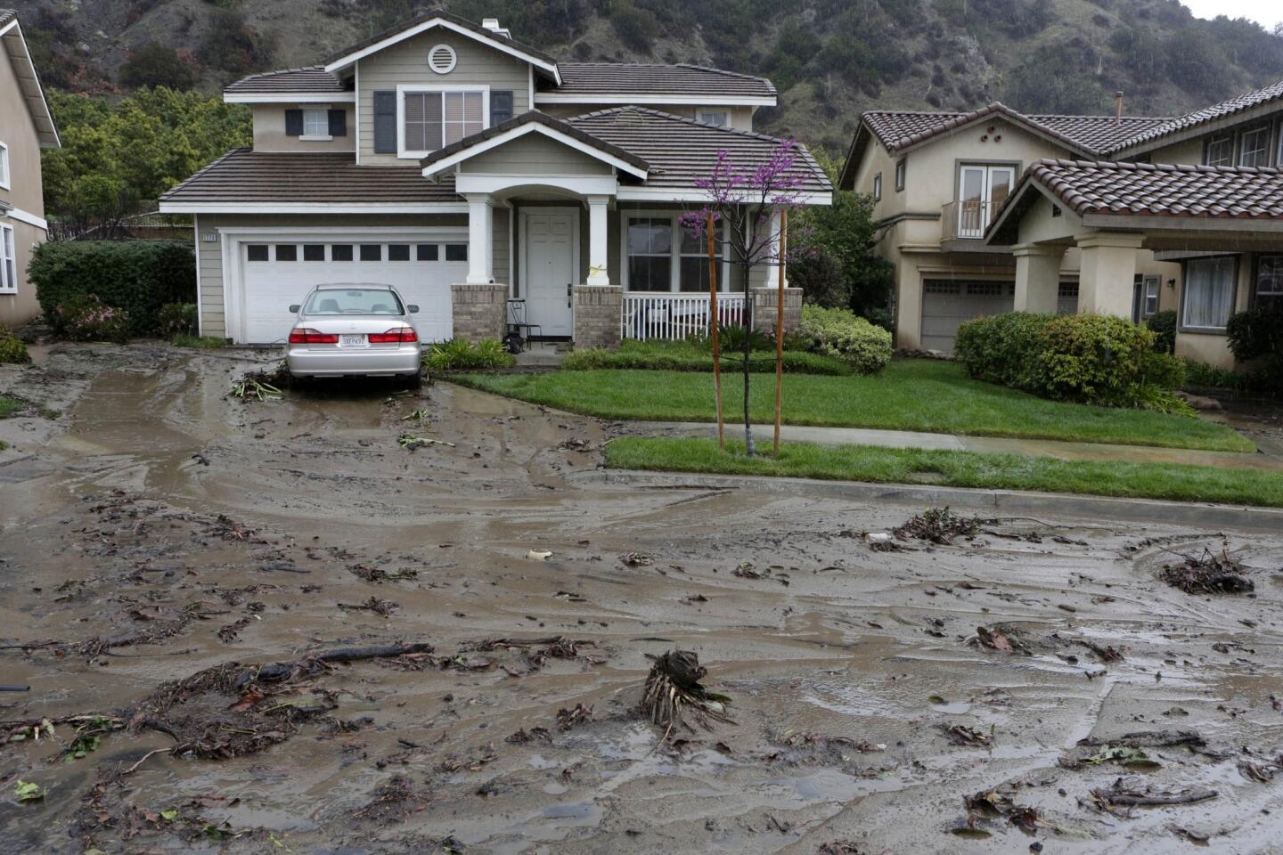
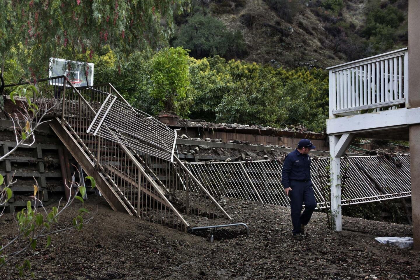
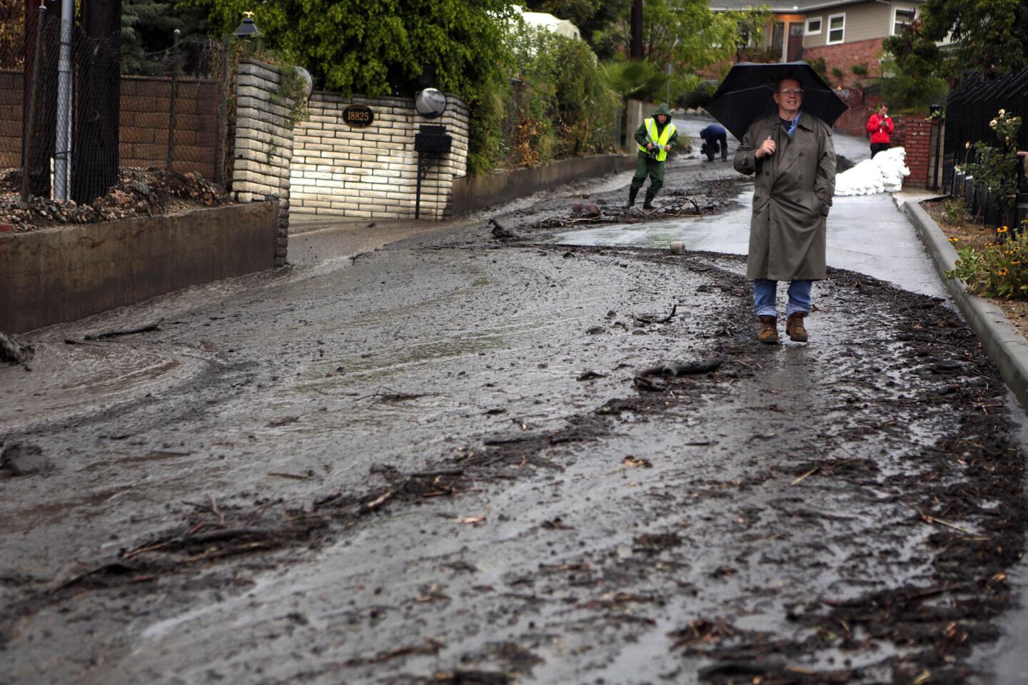
Since Wednesday, crews have been working around the clock filling the sandbags and distributing them to locals. The vulnerable area is a roughly three-mile stretch from Glendora’s western border to Lorraine Avenue, encompassing about 1,000 homes.
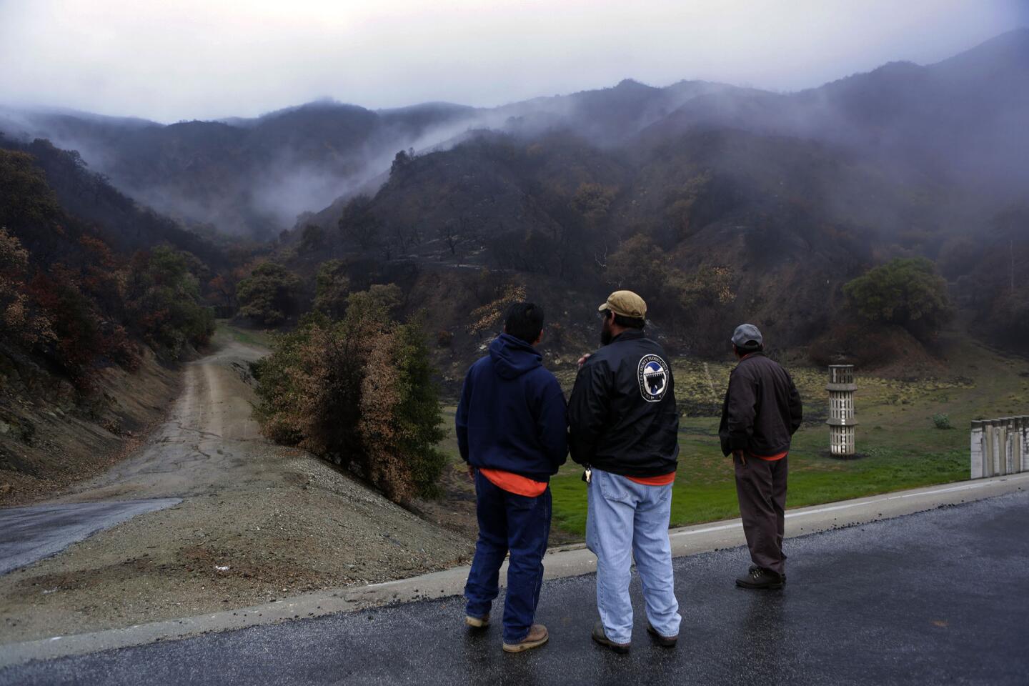
Glendora officials have been shoring up the foothills since the Colby Fire in January burned 1,900 acres and destroyed five homes and damaged seven others.
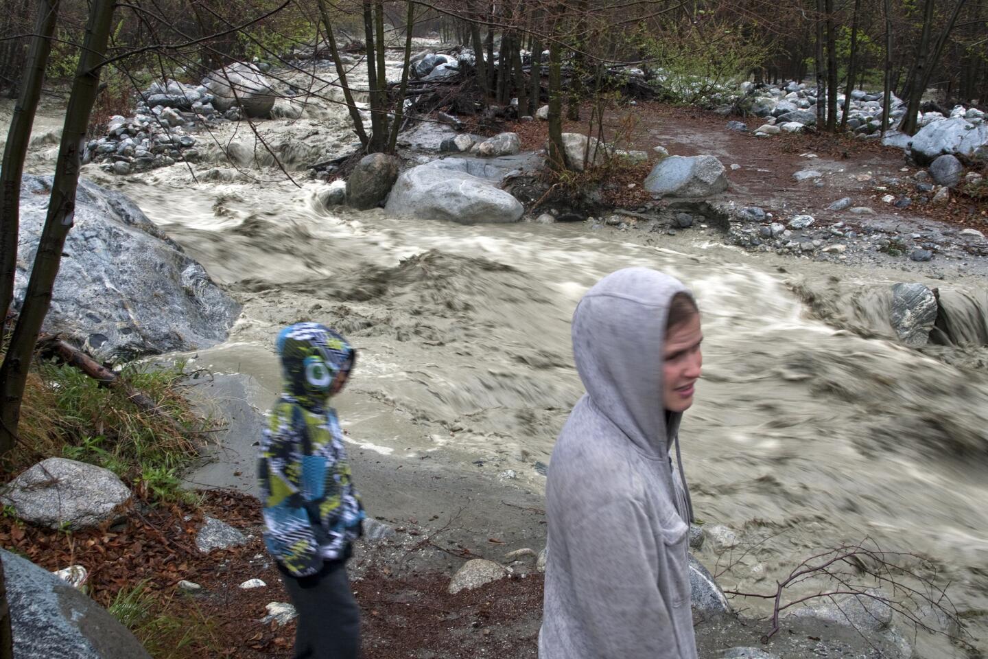
Jeffers said city officials and residents are learning from the past. In 1969, after fires the year before, massive mudslides destroyed 200 homes; 34 people died.
“We’re aware of the risk now,” he said. “In 1969, no one gave it much thought.”
Jeffers said the risk is even greater now because there are 70% to 80% more structures in the danger zone than in 1969 and 90% of the hillside vegetation was burned.
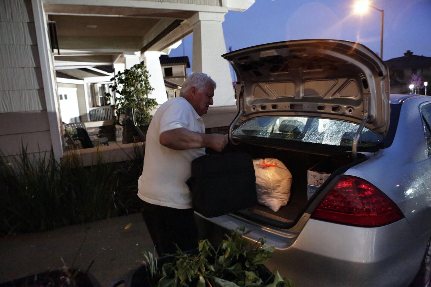
If mandatory evacuations are ordered, he urged residents to follow directions.
“When the Colby fire literally came through Glendora, we didn’t have any deaths or serious injuries. The last thing we want is for mudflows to tarnish that record.”
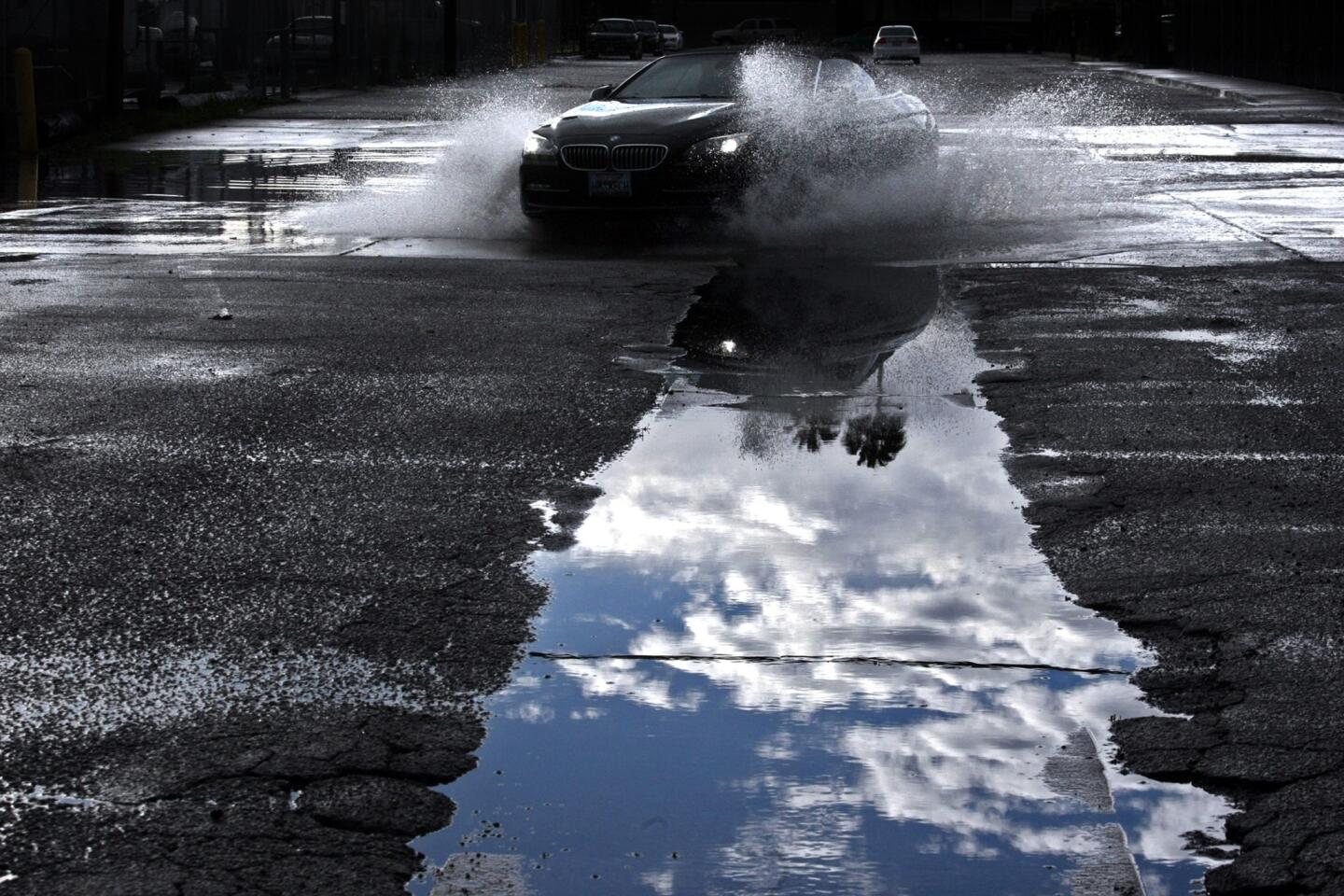
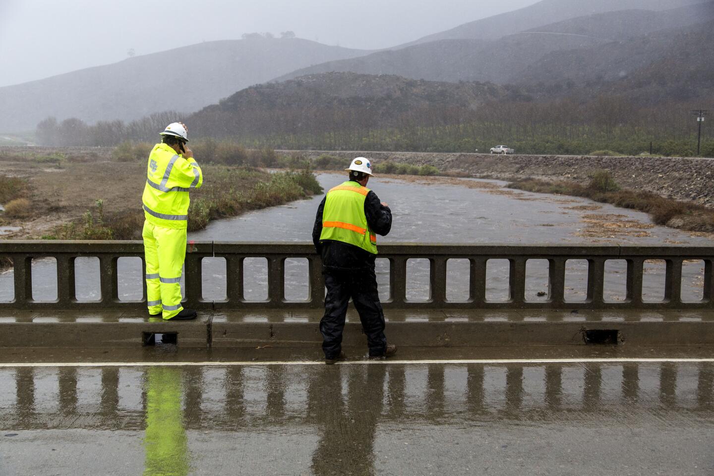
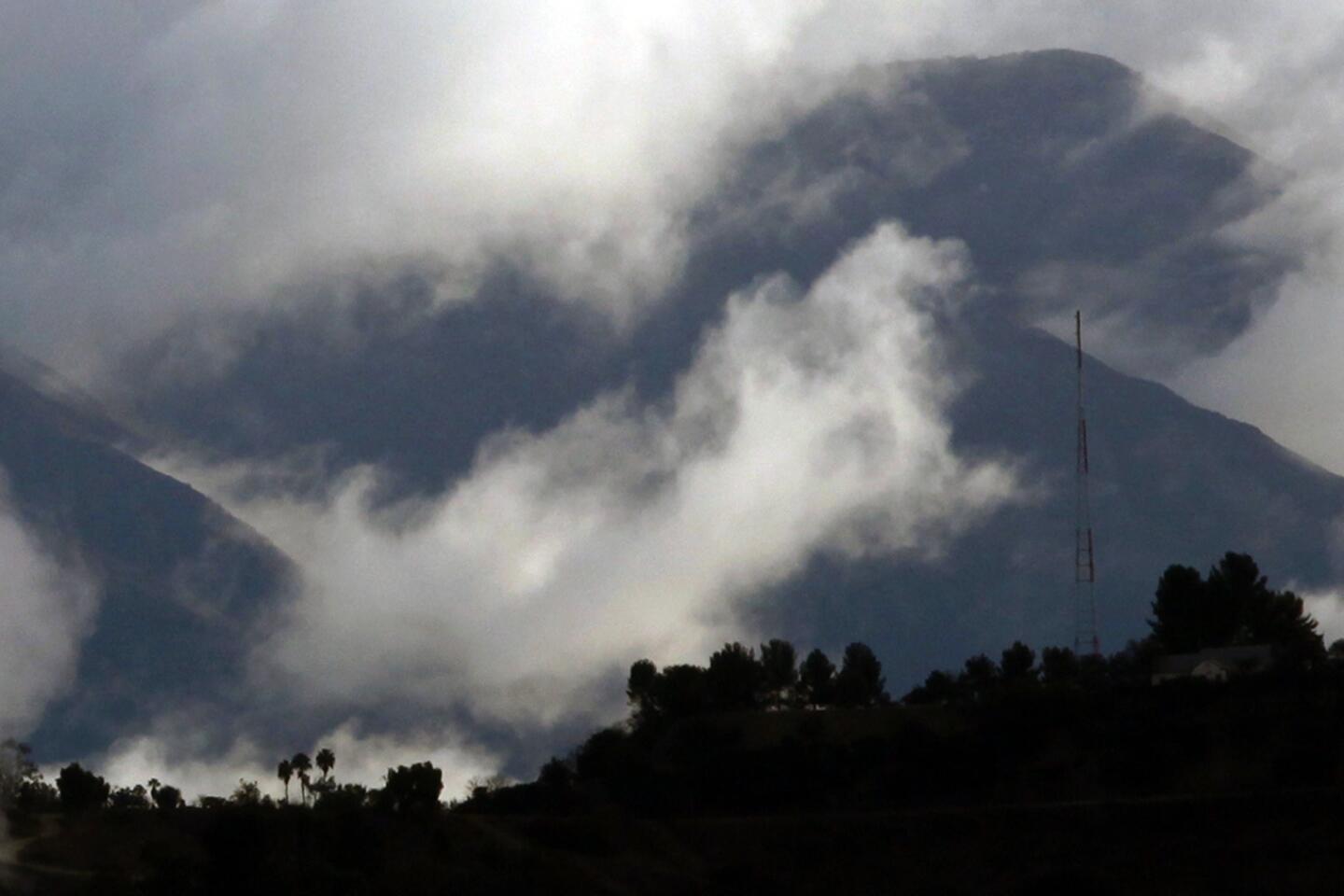
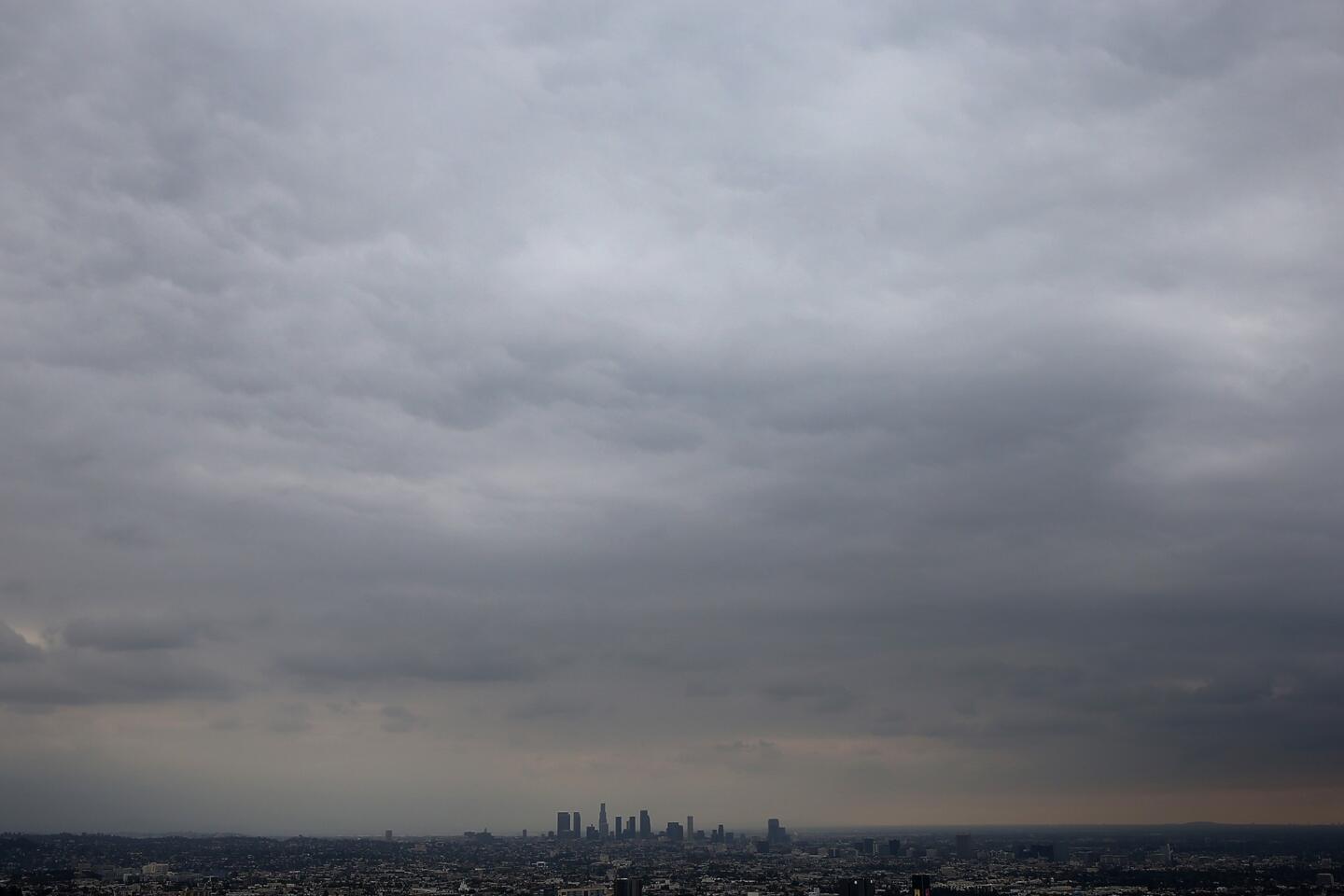
Forecasters said Thursday morning’s storm dumped light to moderate rain across Los Angeles County, and is moving faster than expected, which could mean an extended break starting in the afternoon before a more powerful system arrives.
“We’re moving good -- system is moving a little quicker than we thought,” said Andrew Rorke, a meteorologist with the National Weather Service in Oxnard.
Since rain began falling Wednesday evening, about 1 to 2 inches have dropped on the region’s coasts and valleys, with most of L.A. County getting no more than 1 inch, Rorke said.
The stronger of two storms is expected to arrive Thursday night, bringing with it the potential for heavy rain through Saturday.
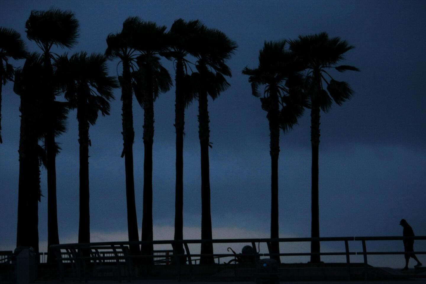
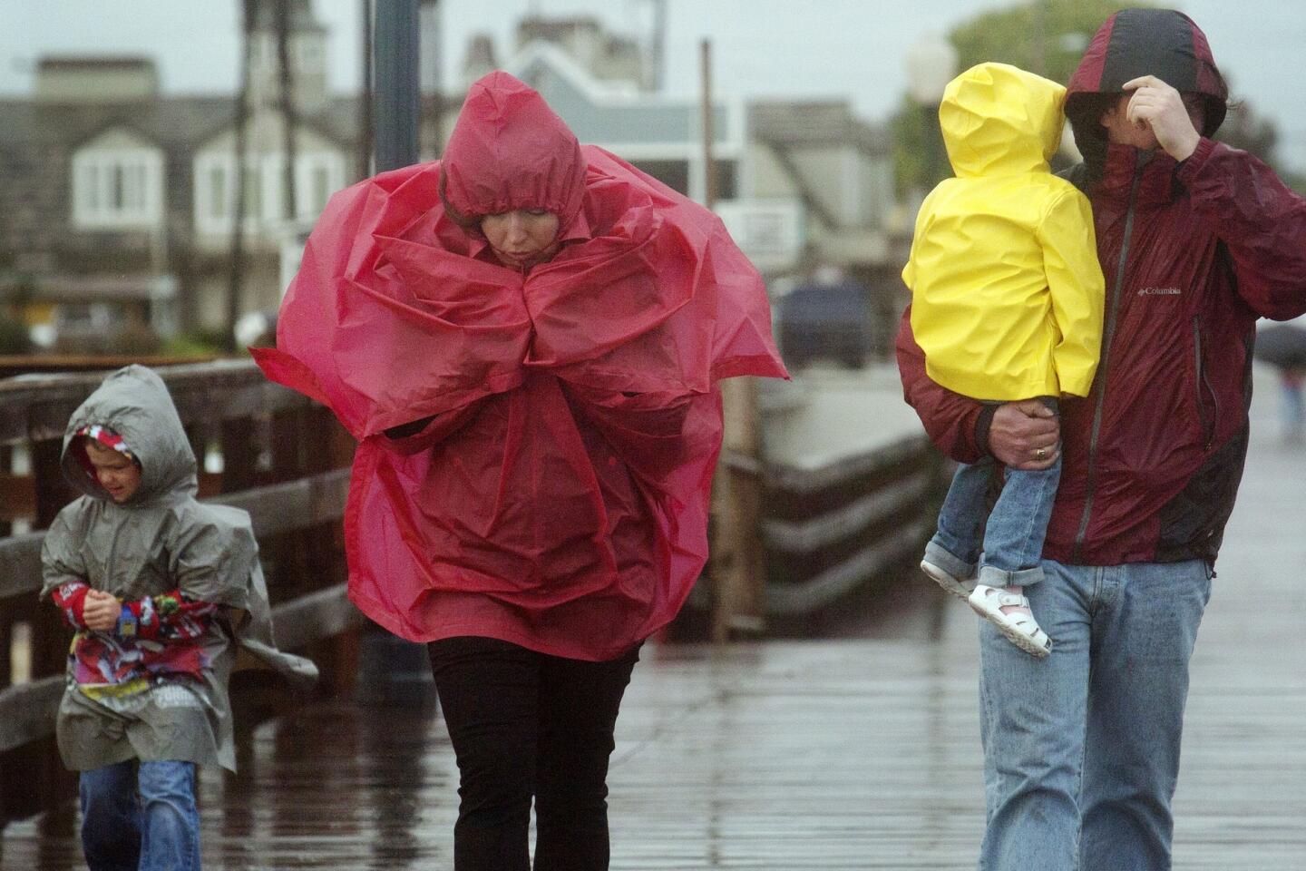
The second storm is predicted to drop 1 to 3 inches of rain in the coasts and valleys and 3 to 6 inches of rain in the foothills and mountains. Forecasters say thunderstorms are also possible, with damaging winds, small hail and even weak tornadoes possible.
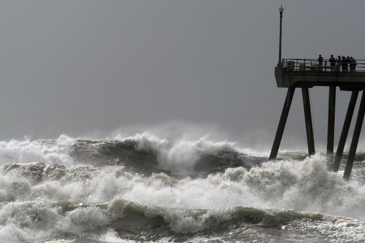
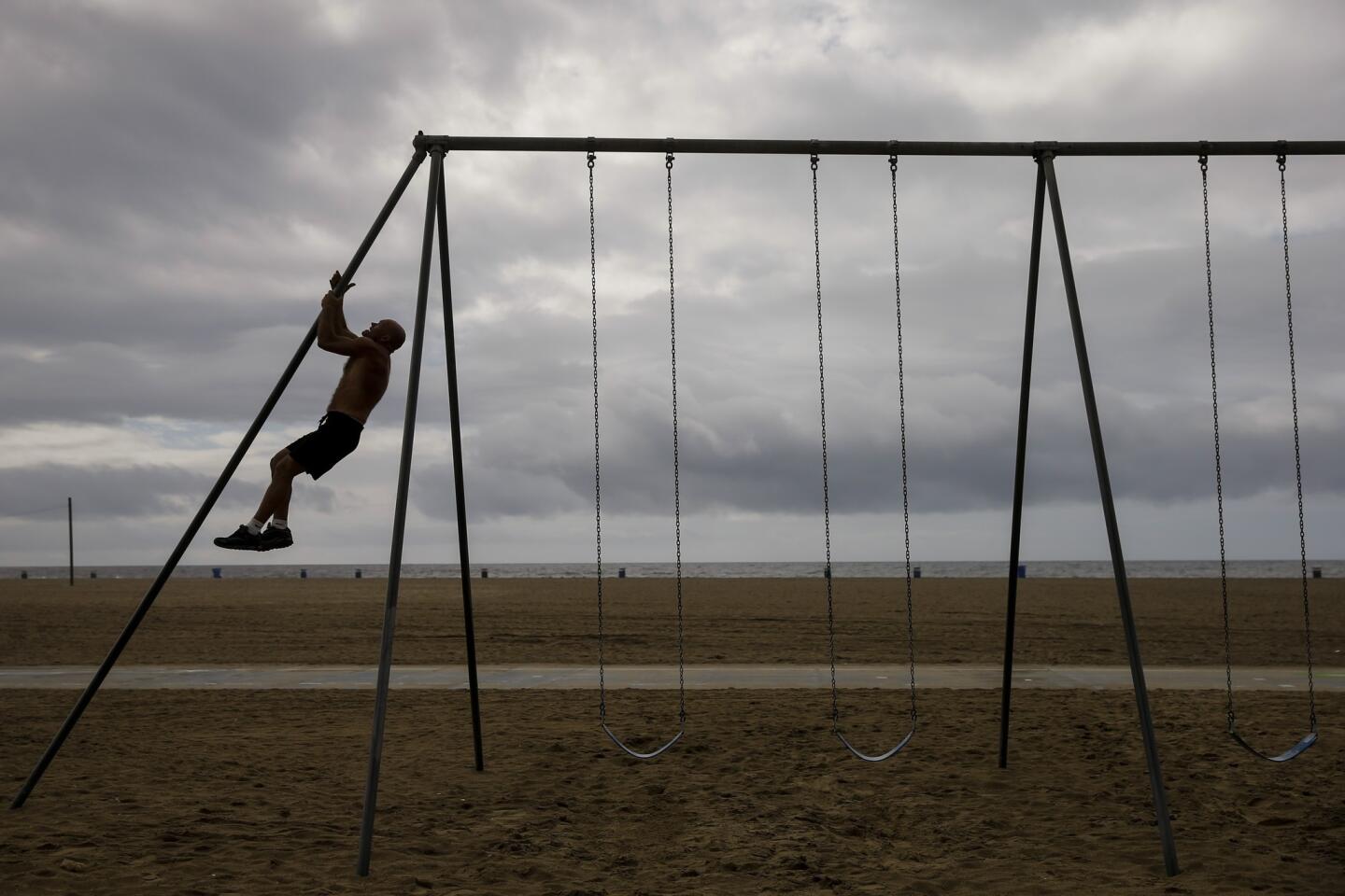
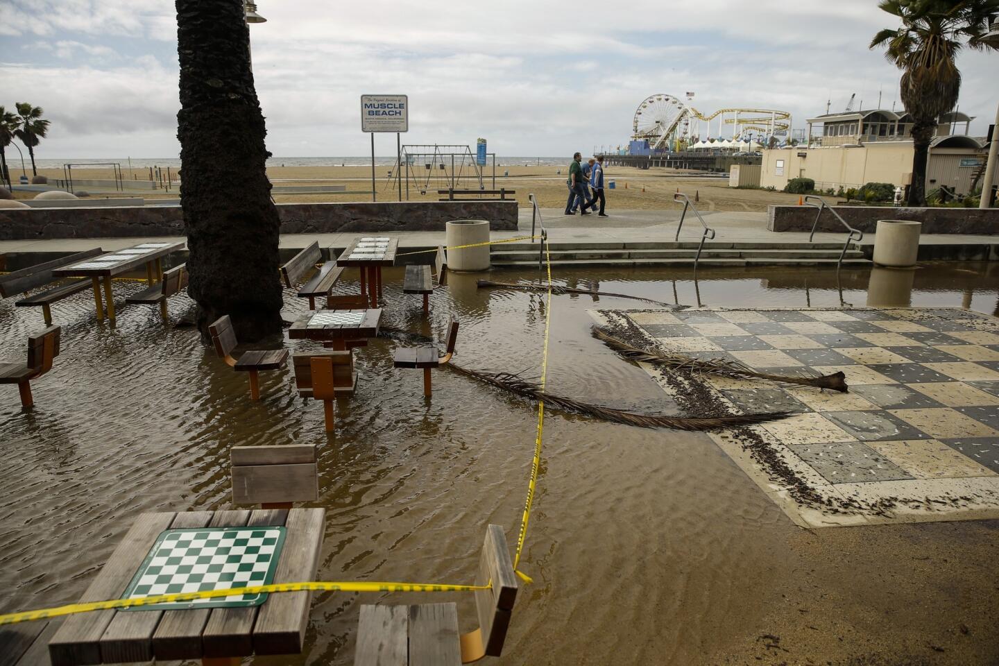
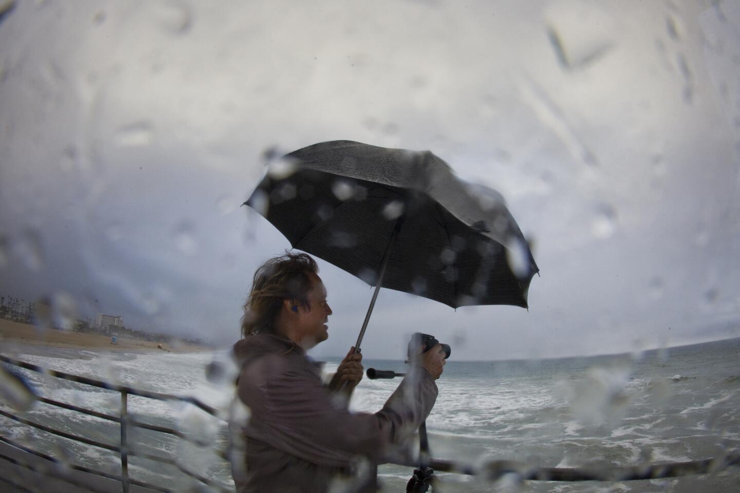
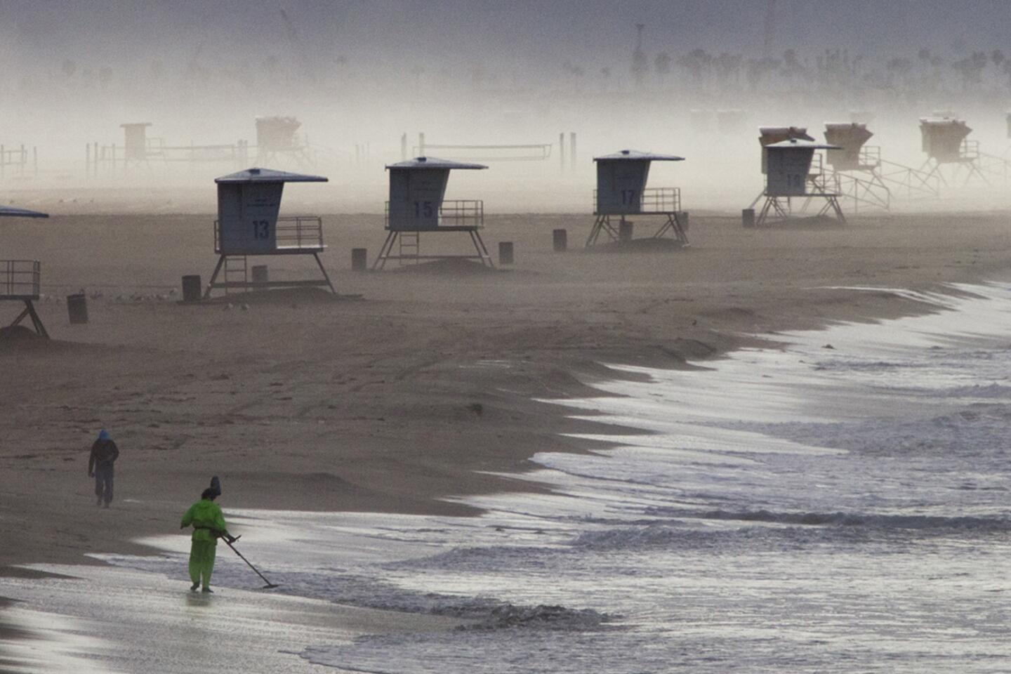
A high-surf advisory has also been issued in Los Angeles County, with forecasters warning of possible beach erosion and high tides that could cause property damage.
The advisory is slated to be in effect until at 5 p.m. Sunday, said Stuart Seto of the National Weather Service in Oxnard.
In addition to potential property damage, the high surf could create strong and dangerous riptides, Seto said, as well as waves that can suddenly wash people off of rocks and jetties, known as sneaker waves.
Waves are expected to reach heights of up to 8 feet Thursday morning, with most ranging from 4 to 7 feet.
The surf will decrease slightly Friday, but stack up again at night and into the weekend. The highest waves could reach 11 feet on Saturday, though most will be in the 6- to 9-foot range before settling through Sunday afternoon.
Twitter: @aribloomekatz | Facebook
joseph.serna@latimes.com
More to Read
Sign up for Essential California
The most important California stories and recommendations in your inbox every morning.
You may occasionally receive promotional content from the Los Angeles Times.

