The science behind this crazy heat wave

- Share via
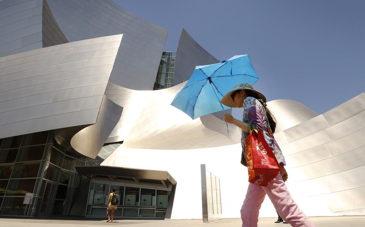
The sidewalks are scalding. The sun is blinding. It’s over 100 degrees across much of Los Angeles. We’re in the midst of a bona fide heat wave and it’s only June.
What the heck is going on?
“Things are definitely out of whack here,” said Bill Patzert, a climatologist at the Jet Propulsion Laboratory. “This heat wave is not only unusual in its intensity, it is potentially deadly.”
Angelenos know that a few days of punishing heat each year are part of the bargain of living in this usually temperate city. But we generally expect that heat to come in August and September, traditionally the two hottest months of the year in the Southland.
See the most-read stories in Science this hour »
In June, the collision of cool water off the coast and warming land temperatures usually causes a marine layer of low stratus clouds to form in the mornings, keeping temperatures relatively low throughout the city. That’s the origin of May Gray and June Gloom.
Still, Monday’s super hot weather is not a complete anomaly, said Alex Hall, a professor in the atmospheric and ocean sciences department at UCLA.
“From what I understand, the temperatures are very close to record-breaking, which means this has happened before,” he said. “It’s not outside the realm of possibility for L.A., but it is an extreme event.”
You can blame the blistering temperatures on a large high pressure system that started to develop over the American West last week. That system expanded over the weekend, and on Monday, brought a great dome of heavy air over Southern California, as well as much of the West.
“The air over a high-pressure system tends to drop from the upper atmosphere and compress the surface air where we live,” Patzert said. “As you might remember from 8th-grade science, an increase in pressure leads to an increase in temperature.”
The dome of heavy air is directly over us now, but it will slowly start to slide east over the next few days.
“Now the forecast says it will drop to the 80s by the middle of the week,” said Steve LaDochy, a professor in the geosciences and environment department at Cal State L.A. “We just have to make it till Wednesday.”
The heat may be compounded by the fact that Monday marks the summer solstice — the longest day of the year. That means L.A. is getting more solar radiation on this day than on any other day of the year.
Scientists who study the L.A. climate say, over the next few decades, we can expect heat waves to become more common.
“In our work, we’ve found that by the middle of the century, L.A. will experience two to three times the numbers of hot days like this, and by the end of the century, there will be four to five times the number of extremely hot days,” Hall said.
And don’t rule out more heat waves later this year.
“September has the most heat waves even though August is the warmest month,” said LaDochy. “So expect more heat waves in September. That’s something to look forward to.”
Do you love science? I do! Follow me @DeborahNetburn and “like” Los Angeles Times Science & Health on Facebook.
MORE IN SCIENCE:
To make chocolate healthier and tastier, all you need is an electric beam
Scientists turn plastic bottles and bags into liquid fuel
How running shoes change the muscles in your feet


