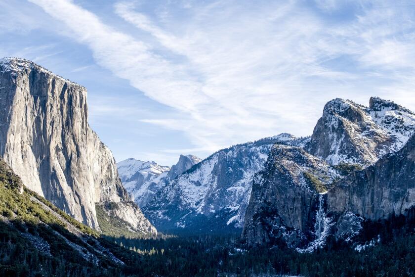
California’s fall colors finally have popped in the Eastern Sierra. Here are five places to go now
- Share via
No, you didn’t miss it. Fall has come late to the Eastern Sierra this year, which means good news for travelers who can squeeze in a last-minute getaway along U.S. Highway 395. CaliforniaFallColor.com recommends “go now!” for many parts of Bishop Creek Canyon near the town of Bishop and Conway Summit north of Mono Lake.
Heading up the 395? Stopping to scope out the sights is time well spent »
Bring warm layers of clothing, sturdy shoes and your camera as you drive up 395. This Fall Color Guide & Map suggests 21 places to stop, from Big Pine Canyon and Bishop in the south to Monitor Pass in the north.
Here are five places that as of Friday are at peak or nearing peak colors, so don’t wait too long to go.
1. Conway Summit
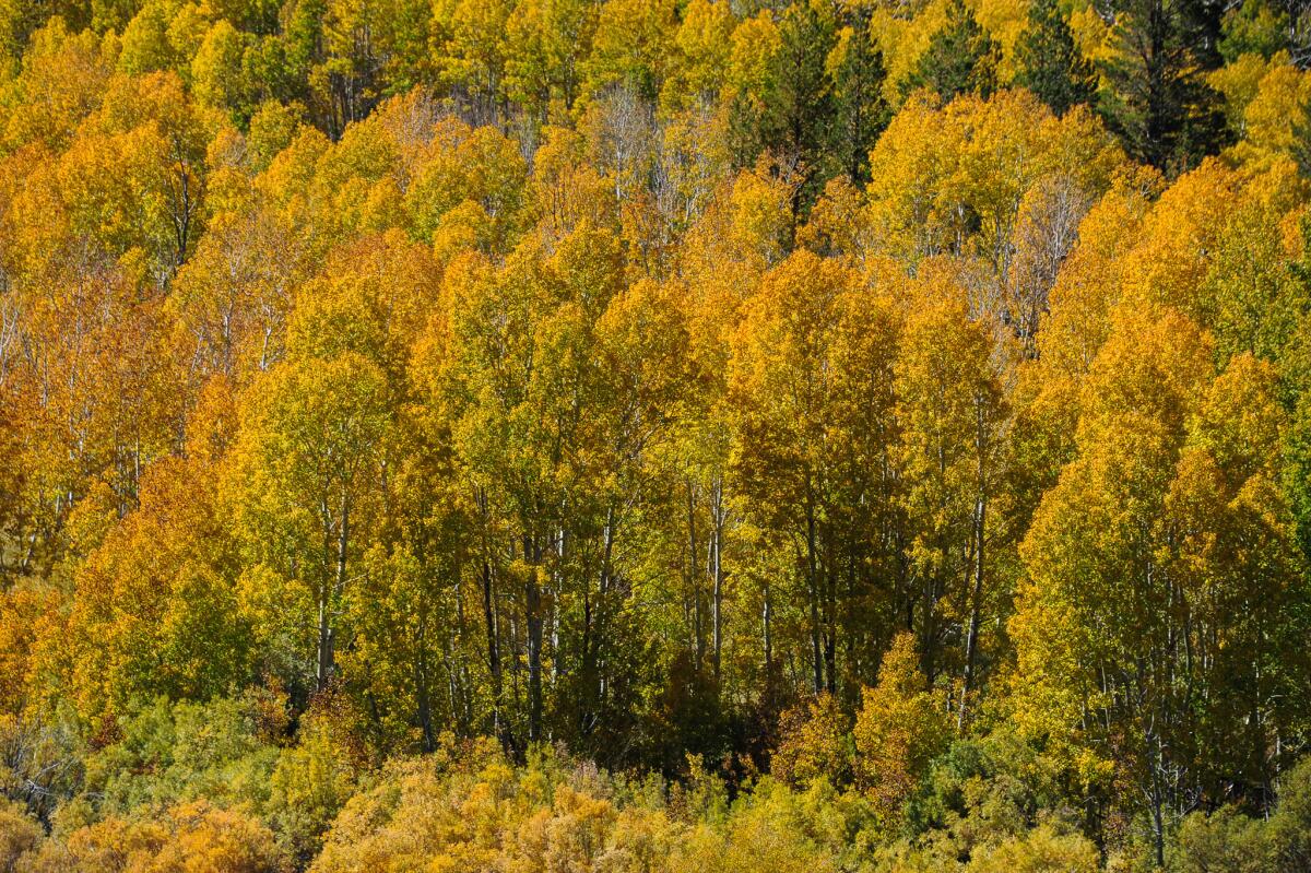
Conway Summit, at more than 8,000 feet above sea level, is near peak right now, according to the report. High-altitude color at the summit and nearby Virginia Lakes is pegged at 50% to 75% of peak right now.
How to get there: You can pull off Highway 395 between Bridgeport and Lee Vining to take in the colors and get a good view of Mono Lake too.
2. June Lake Loop
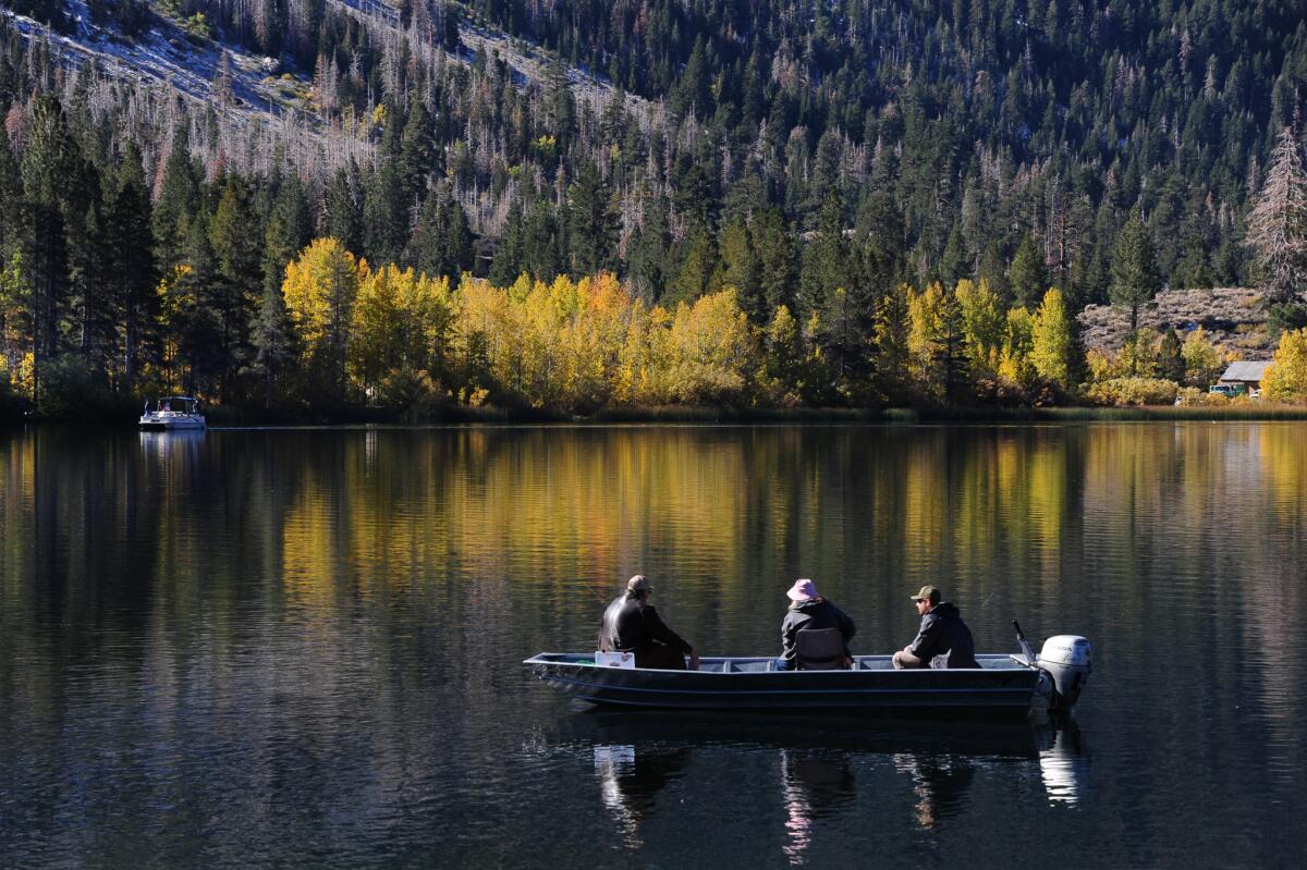
June Lake Loop is a drivable wonder that’s easy to find. On this route, you’ll find shorelines with trees turning gold set against jagged Sierra peaks — all reflected in a series of glacial lakes.
Color is turning fast right now. “Lots of emerging yellow and lime surrounding the lakes and along the drive,” the report says.
How to get there: Take Highway 395 north of Mammoth Lakes and turn onto California 158 west.
3. Bishop Creek Canyon
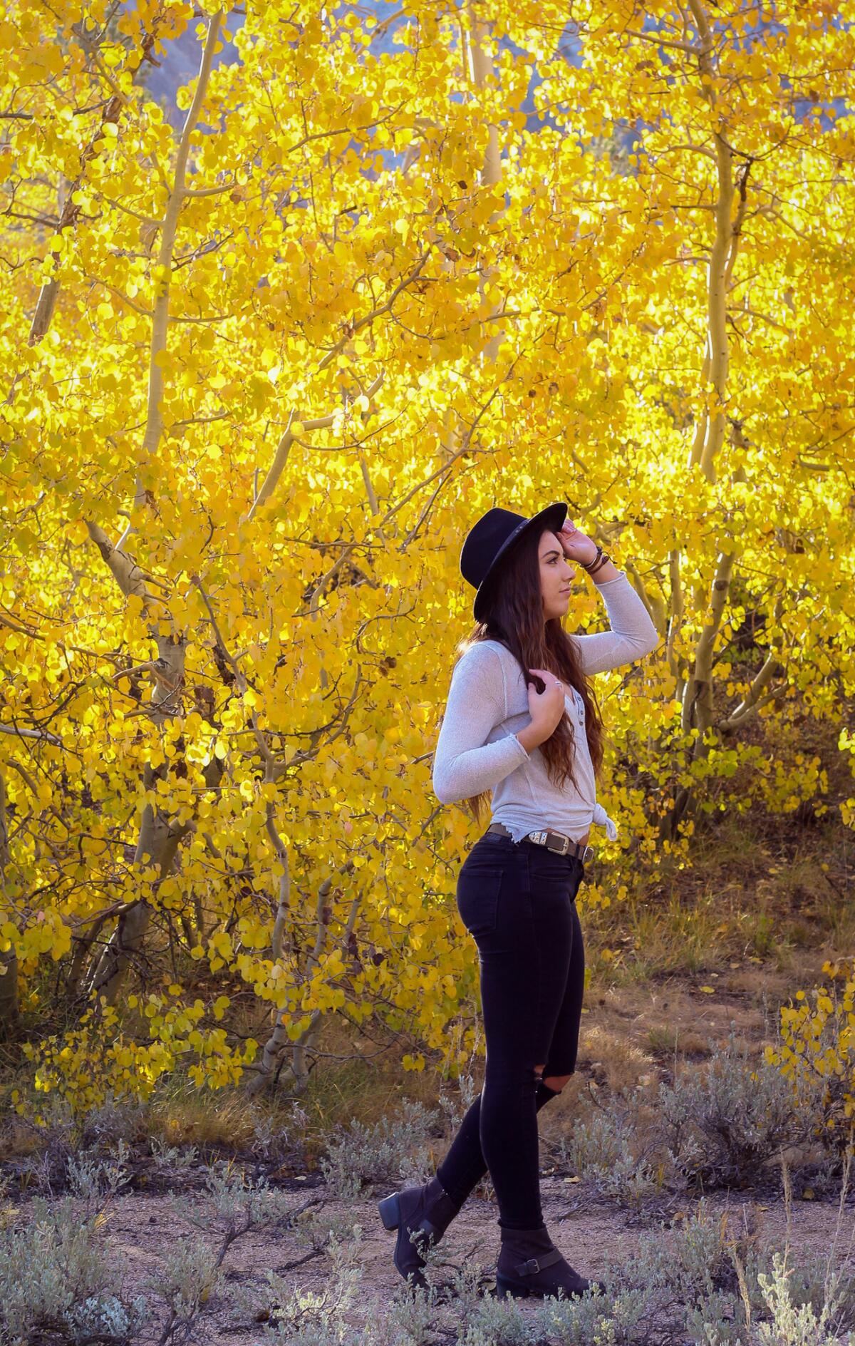
Usually, this area has peaked by October. But in a reversal of what usually happens, colors are popping at lower elevations before those higher up. Check out Table Mountain Campground, Willow Campground, Parchers Resort and Weir Pond in the South Lake area — all are at 75% to 100% of peak as of Friday.
Nearby Lake Sabrina and North Lake are just about at peak too.
How to get there: Take Highway 168 west near the town of Bishop. You’ll see turnoffs along the way for North Lake, South Lake and Lake Sabrina.
4. Upper Rock Creek
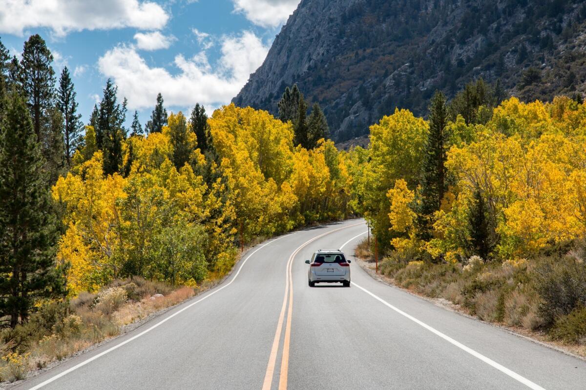
Fall color in Upper Rock Creek and McGee Creek are at peak or close to peak. At McGee Creek, drive to the end of the road and take off on foot for about a mile. You’ll find a valley studded with yellow aspen set in an alpine setting.
How to get there: Look for turnoffs from Highway 395 to Rock Creek and McGee Creek canyons. These are little mountain roads that lead to trail heads too.
5. Monitor Pass
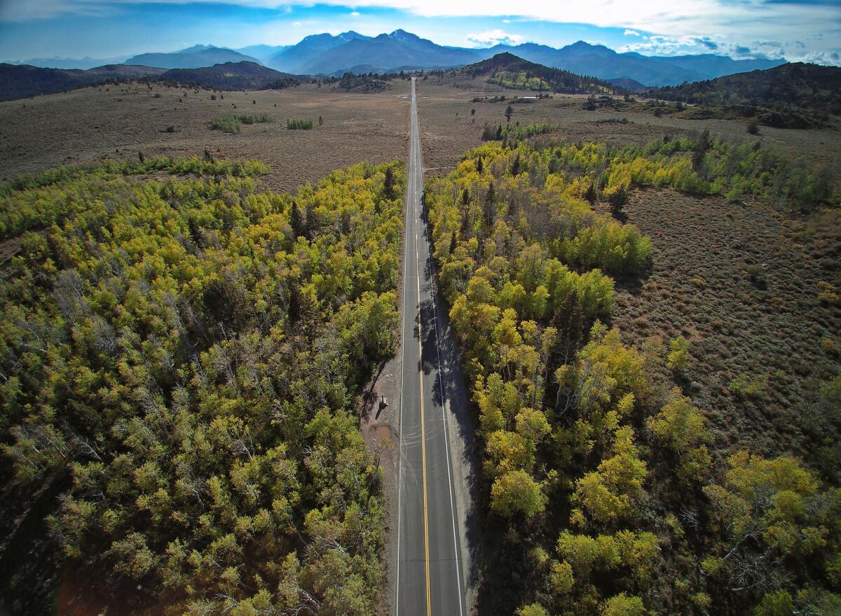
Monitor Pass, north of Bridgeport and Sonora Pass, is described as having patchy colors as of Friday, meaning just 10% to 50% of trees have turned. Some aspen trees are lime green, not yet into the yellow phase. The same is true of North Lake Tahoe and Truckee.
How to get there: Take California Highway 89 off 395.
ALSO
Sign up for The Wild
We’ll help you find the best places to hike, bike and run, as well as the perfect silent spots for meditation and yoga.
You may occasionally receive promotional content from the Los Angeles Times.


