Apple Maps now includes transit information for Los Angeles

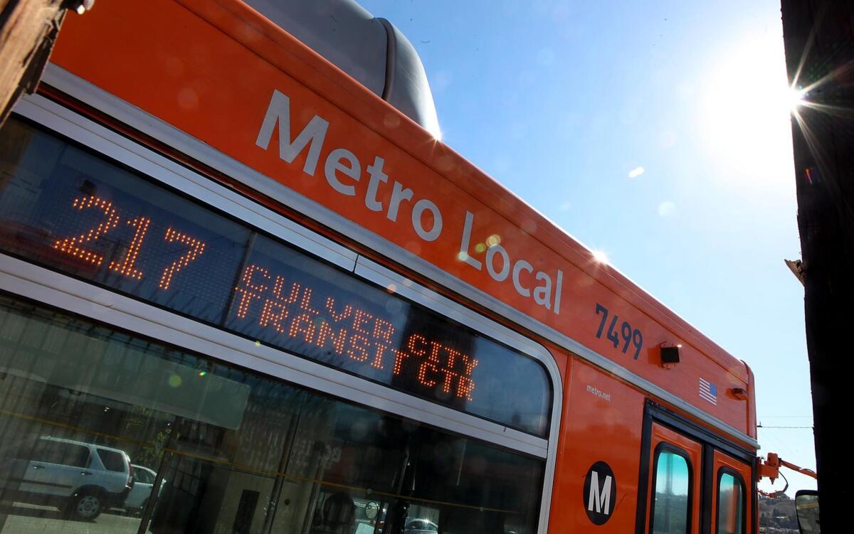
Apple Maps has added to its features transit information, such as times for this Metro bus near Culver City.
Apple has added public transit information for Los Angeles to its Apple Maps app.
The transit feature is now live, mapping bus and Metro routes for iPhone users as well as showing scheduled arrival times at different stops. The app also combines transportation options and shows what’s nearby, such as local restaurants and shopping.
The move follows a similar one this month by Google, which launched real-time transit updates for the Metro on Google Maps.
Besides L.A., transit information in Apple Maps is available in Baltimore, Berlin, Chicago, London, Mexico City, New York City, Philadelphia, the Bay Area, Toronto and Washington, D.C., as well as more than 300 cities in China.
The Cupertino, Calif., company added support for metropolitan transit systems and schedules around the country with iOS 9.
Twiter: @byandreachang


