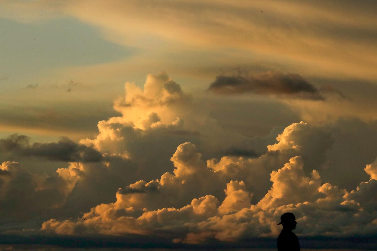
Monsoonal storms are on the horizon. How to prepare for SoCal’s weather threat

- Share via
First came the drought. Then there were fires. Next up: monsoons.
The National Weather Service is warning that a surge of monsoonal storms Tuesday and Wednesday could bring flash flooding and elevated fire threats.
Here’s what you need to know about the latest weather woe in Southern California:
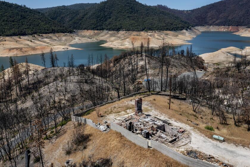
State leaders in climate change and water resources warn that California’s drought is already causing dire conditions for people, plants, animals and land.
What is a monsoon?
Monsoons are marked by the seasonal reversal of atmospheric winds, according to the National Weather Service. They are often associated with dramatic precipitation increases in the form of thunderstorms.
The system moving in this week is being driven by a change in upper-level winds that are carrying moisture up from Mexico, said David Sweet, a meteorologist with the National Weather Service in Oxnard.
Known as the North American Monsoon, the system typically affects Arizona and New Mexico, Sweet said, but “every now and then, it also pushes in Southern California as well.”
What areas will be affected?
In Southern California, the Los Angeles County mountains, along with the Antelope Valley mountains and desert, have a chance of afternoon thunderstorms Tuesday and Wednesday, Sweet said. It is also possible that a thunderstorm could drift across the foothill areas of the L.A. county valleys.
East Santa Barbara County will likely see thunderstorms Tuesday, forecasters said. The system will move west into the interior areas of San Barbara and San Luis Obispo counties by Wednesday.
The mountains and valleys of the Mojave Desert are also likely to see thunderstorms beginning Tuesday afternoon.
And a severe thunderstorm warning has been issued in north central San Bernardino County.
What are the dangers?
The main threat Tuesday will be isolated dry lightning strikes, Sweet said, which could ignite fires amid parched vegetation.
The forecast also warns of “gusty and erratic winds,” which can contribute to the rapid spread of fire.
Some downburst winds in the Mojave Desert area could be as strong as 70 mph, officials said.
By Wednesday, the storms will be wetter, according to Sweet, which will reduce wildfire danger but increase the threat of flash flooding along roadways and arroyos in the mountains and deserts.
“Any time you have a thunderstorm, flooding is a possibility,” he said.
Monsoon storms Tuesday through Thursday could bring dangerous lightning strikes, which have the potential to start fires amid hot, bone-dry conditions.
How should you prepare?
The National Weather Service has warned of elevated fire conditions because of the potential for dry lightning in hot, arid areas. Officials are asking that residents avoid any activities that may create sparks.
Campers and hikers should closely monitor weather forecasts before venturing out, as brief heavy downpours could cause local flash flooding.
Residents are also advised to stay out of dry washes and arroyos, even if storms are far away.
And drivers should not attempt to cross flooded roadways, officials said.
What does this mean for the drought?
While flash flooding and dry lightning are both concerns that come with monsoons, some residents may welcome the spot of moisture amid worsening drought conditions.
But the rain is not likely to linger, Sweet said, and the monsoonal threat will wane dramatically after Wednesday.
“It will not end the drought,” he said.
More to Read
Sign up for Essential California
The most important California stories and recommendations in your inbox every morning.
You may occasionally receive promotional content from the Los Angeles Times.


