Southern California weather snaps back to summer after unusual July rain

One day after parts of Southern California saw rare, record-breaking rain, the region is set to heat up and dry out.
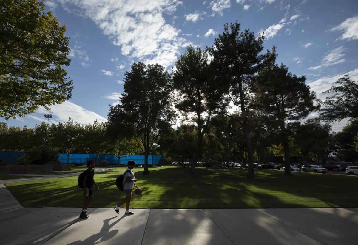
Low clouds and fog on Tuesday morning will give way to sunny skies in the afternoon — a more typical forecast for July, according to the National Weather Service.
It’s a weather pattern that’s expected to hold for the next few days, with temperatures topping out at slightly above average.
“Basically, what we’re going to be experiencing for the rest of the week ... is a drying and warming trend,” said David Sweet, a meteorologist with the National Weather Service’s Oxnard station.
On Tuesday, beaches will see highs in the lower to mid-70s; central Los Angeles is expected to reach the mid- to upper 80s; and the valleys are predicted to climb to the upper 80s to mid-90s, forecasters said.
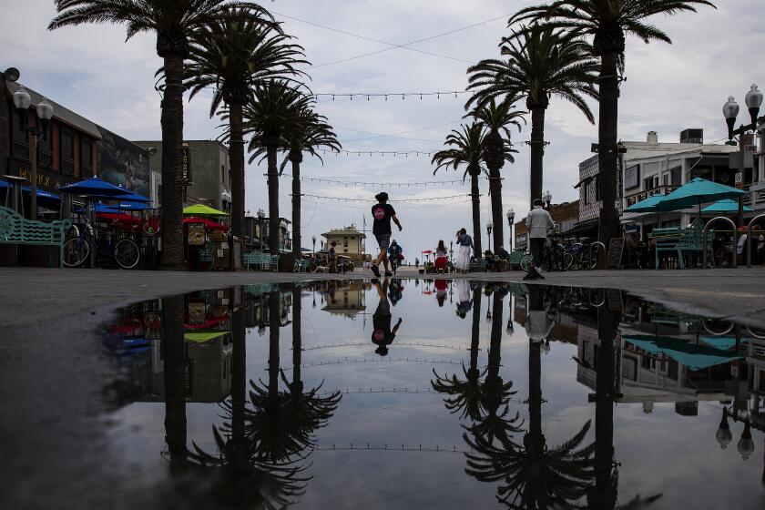
It’s a stark turnaround from the day before, when some Southland residents awoke to gray skies and moist ground. Some areas in the San Gabriel Mountains and valleys recorded more than 0.2 inches of rain, according to the National Weather Service Los Angeles.
July is typically a “very dry month” in Southern California, the weather service tweeted, “so even when it rains a little, it’s a big deal!”
Several areas broke their rainfall records for the date.
Downtown Los Angeles recorded .12 of an inch, surpassing its previous .04 inch record set on July 26, 2013. Burbank had .03 inches, breaking the previous record set in 1941 by one hundredth of an inch. Lancaster supplanted its previous record of “a trace” set in 2013 with a newly minted .01.
“When you’re breaking the record by getting a few hundredths of an inch, that gives you an idea of how rare it is for us to get any rain this time of year,” Sweet said.
Flash flooding and thunderstorms are possible throughout the Southland on Monday, the National Weather Service said.
Some areas will take a bit longer to bounce back to more typical summer weather.
The National Weather Service’s San Diego station said some drizzle occurred Tuesday morning “from that thick layer of stratus near the coast.” Beaches in the area will see only a partial clearing of the stratus in the afternoon, the weather service said.
“May Gray and June Gloom definitely aren’t just restricted to those months,” the station said in a tweet.
A low-pressure system that contributed to Monday’s smattering of rain is still hovering off the coast, Sweet said, but the winds around it — now southerly — are not bringing any more moisture to the area.
That moisture is instead heading up to Northern California, he said, where two large wildfires are searing nearly 300,000 acres between them.
Some officials have expressed concerns that the monsoonal weather could complicate firefighting efforts by bringing intense wind and lightning to the blaze areas.
By week’s end, there is a possibility that another one of these “unusual pressure systems” will arrive in Southern California from the east, bringing clouds and an outside chance of showers and thunderstorms between Friday and Saturday, Sweet said.
More to Read
Sign up for Essential California
The most important California stories and recommendations in your inbox every morning.
You may occasionally receive promotional content from the Los Angeles Times.


