Sizzling temps, Santa Ana winds will descend on Southern California, raising fire risk

Southern California’s brief taste of fall is coming to a scorching halt.
Temperatures across the region are expected to soar 10 to 20 degrees this week as dry Santa Ana winds blow in from the northeast, elevating fire risk — a stark turnaround from cooler conditions earlier in the week.
Downtown Los Angeles will hover in the upper 70s on Wednesday before leaping to nearly 90 degrees on Thursday, which is about 10 degrees higher than average.
The region could see temperatures 10 to 15 degrees above average over the weekend, with some areas hitting close to 100 degrees, according to the National Weather Service.
Burbank, typically topping out at 83 degrees this time of year, could reach 96 by Saturday.
Seasonal winds arriving in the mountains and valleys are forecast to peak Thursday, reaching 15 to 25 mph in the San Fernando, Santa Clarita and Ventura County valleys, with some gusts up to 40 mph.
Winds in L.A. County mountains are expected to be stronger, averaging 20 to 30 mph and isolated gusts reaching 45 mph.
From Nevada, the air will be forced over mountains before plunging into the Los Angeles Basin.
“As it does so, it warms up and it dries out,” said David Sweet, a meteorologist with the National Weather Service’s Oxnard station.
Humidity is expected to drop by 25% to 50% this week.
“The low humidities that will accompany the winds and the warm temperatures will give us at least elevated fire weather conditions,” Sweet said, with potential to briefly reach “critical.”
Sweet expects the highest fire risk will come Thursday, when winds pick up.
Warmer, drier weather could increase fire behavior for the KNP Complex and Windy fires rampaging in the southern Sierra Nevada, as the twin blazes continue to expand, fire officials said. Together, the fires have seared more than 136,000 acres after burning for roughly three weeks in dense, forested terrain.
Containment of the Windy fire — now 87,901 acres — jumped significantly overnight to 25%, up from just 6%, with recent cooler temperatures believed to have curbed growth in some areas. Higher pressure moving in will “bring us seasonably warm and much drier conditions for the remainder of the week,” said Philomon Geertson, a fire weather meteorologist trainee assigned to the Windy fire.
Given the forecast, Ernie Villa, an operations section chief trainee for the blaze, said during a briefing Wednesday that fire personnel would be “keeping an eye” on a section along the east end of the fire, west of Fairview. The fire is burning in the Tule River Indian Reservation and Sequoia National Forest.
Not far to the north, the KNP Complex fire — in Sequoia National Park — was 48,872 acres and 11% contained on Wednesday morning.
Parts of Northern California are also seeing increased fire danger due to gusty winds and poor humidity recovery, with a red flag warning issued for the North Bay Mountains, primarily affecting Napa County and areas along the Sonoma County border.
The warning will go into effect at 11 p.m. Wednesday and expire at 11 a.m. Thursday, and the strongest winds are expected to blow after midnight through 10 a.m., according to the National Weather Service.
North and northeast winds are forecast to average 15 to 25 mph, with gusts between 25 to 35 mph. The weather service warned in an advisory: “Any new fire starts will likely show moderate to rapid growth.”
Firefighting resources have been stretched thin by nearly a dozen large wildfires ravaging the central and northern parts of California, scorching more than 2.4 million acres this year.
The Angeles National Forest was among several Southern California forests closed until last week because of fears that fires could be sparked, with limited personnel to battle them.
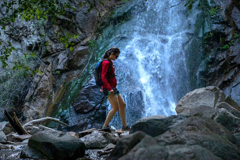
A temporary closure of California’s national forests canceled long-planned trips and local hikes. Will it become the new normal?
Years of drought have primed the state’s vegetation to burn faster and hotter — a problem firefighters are contending with up and down the state.
Southern California so far this year has avoided the large conflagrations seen in other parts of the state. But much of the region’s dry vegetation hasn’t yet encountered severe winds like the Santa Anas starting to arrive.
As officials sound alarms, some people who pulled out sweaters earlier this week might be scratching their heads.
Behind the dramatic reversal in conditions is a ridge of high pressure building from the southwest, driving up the mercury and banishing clouds, according to Sweet.
It’s supplanting a low-pressure system that earlier this week brought cooling, a thick marine layer and even some light precipitation in some coastal areas.
Temperatures began to rise modestly Wednesday, and low clouds and fog were scant.
More to Read
Sign up for Essential California
The most important California stories and recommendations in your inbox every morning.
You may occasionally receive promotional content from the Los Angeles Times.


