‘A little bit of summer’: Southern California heat wave tempered by ocean breeze

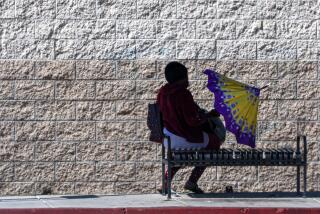
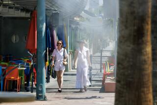
Days after a spot of cool showers dropped rain and snow across Southern California, a heat wave on Monday delivered near-record temperatures to much of the region.
A record was set at Los Angeles International Airport for the second day in a row, the National Weather Service said. Monday’s high of 85 degrees beat the previous record of 84 set in 2020. On Sunday, the high of 86 beat that day’s previous record of 85 degrees, also set in 2020.
Going into Monday, forecasters said temperatures could be as much as 16 degrees above normal, with highs in the upper 80s and lower 90s in the inland coastal areas and valleys.
“Temperatures raced off to a quick start this morning and for areas more than 5-10 miles from the coast [temperatures] continue to climb,” according to a weather service forecast discussion on Monday. “However, an early sea breeze arrival for the coast brought some relief there.”
What are heat-related illnesses and how are they treated? Are they preventable or inevitable? We talked to health experts for the answers.
By Monday evening, temperatures along the coast were down 5 to 12 degrees from conditions on Sunday, while temperatures inland were up 5 to 12 degrees from the previous day’s highs, the weather service said.
The National Weather Service advised residents to stay hydrated, dress in loose, lightweight clothing and limit outdoor activities, especially during the hottest part of the day. Pets and children should never be left in enclosed cars.
Cooling centers and other public facilities are available, city and county officials said.
The heat wave marked another dramatic shift for the region, which has already experienced several swings, from heat and wildfires to rain and snow, since the start of the year.
Forecasters said the storm may mark the end of moisture for the season, with hot, dry and windy conditions expected to settle in over the weekend.
“The fact of the matter is spring is a transition season, so you’re going to get a little bit of winter and you’re going to get a little bit of summer,” weather service meteorologist David Sweet said. “You can get those dramatic swings ... but what we’ve been seeing has been rather impressive in terms of the degree of swings.”
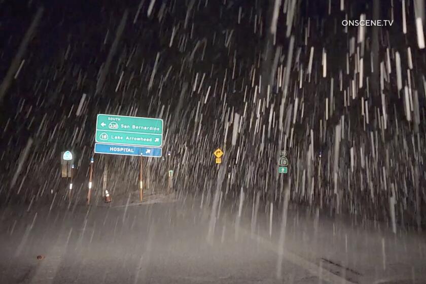
On Friday, a low-pressure system dropped rain, snow and hail throughout the region in what officials said may have been the last storm of the season.
The weather system helped reduce the threat of wildfire by dampening vegetation, Sweet said — a much-needed benefit since Monday was expected to also be somewhat windy and dry.
In New Mexico, the combination of heat, dryness and wind helped fuel 20 wildfires that prompted an emergency declaration over the weekend. Experts fear widespread drought across the West may contribute to a difficult fire season ahead.
But in the Los Angeles area, at least some relief was on the horizon: Sweet said the heat wave was slated to dissipate on Tuesday.
“We’re going to see some impressive cooling beginning tomorrow and Wednesday,” he said. “Temperatures will be down about 10 degrees tomorrow.”
By Monday evening, forecasters predicted that cooling trends would spread inland overnight and into Tuesday, according to the weather service. The Antelope Valley and interior mountain areas could see one more day of similar or slightly warmer temperatures before cooling off.
Times staff writer Gregory Yee contributed to this report.
More to Read
Sign up for Essential California
The most important California stories and recommendations in your inbox every morning.
You may occasionally receive promotional content from the Los Angeles Times.
