California’s cool forecast could limit dangerous snowmelt flooding
As worry grows over flooding from California’s record snowpack, forecasters say that a cooler-than-average May could slow the pace of Sierra Nevada snowmelt and spare the state a devastating spring.
Even though March 2023 was the second hottest March globally since record keeping began, temperatures in California have remained below historical averages — a trend that officials with the National Oceanic and Atmospheric Administration say will continue at least through next month.
“We’re actually favoring below-normal temperatures for a lot of the state,” said Scott Handel, a meteorologist with NOAA’s Climate Prediction Center.
“You have that high snowpack in a lot of the West, including California, and also higher-than-normal soil moisture, and at the same time there’s below-normal temperatures in the ocean right off the coast of California — all of those factors should conspire to limit the chances of above-normal temperatures for [California],” Handel said.
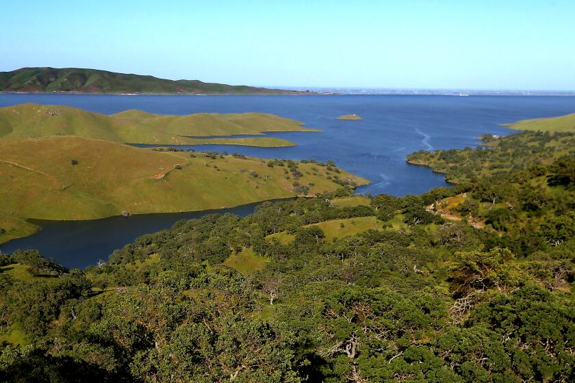
State and federal officials expect to deliver 100% of requested water supplies to communities across California, as reservoirs fill with epic snowmelt.
Parts of California’s Central Valley continue to battle flooding after an extremely wet winter. While state water officials have warned residents of treacherous conditions this spring and summer due to increased river flows, NOAA’s outlook raised hopes that the so-called Big Melt might be milder than initially forecast.
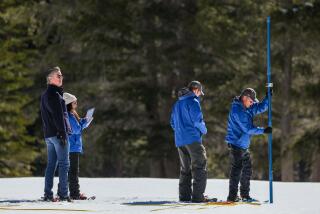
“We’re not seeing any very warm periods that would cause concern just yet, and the hope is that when we do see those, or if we do see those, that they will be later in the season when the snowpack isn’t quite as large,” said Andrew Schwartz, lead scientist at UC Berkeley’s Central Sierra Snow Laboratory. “I would say things are looking pretty optimistic in terms of keeping any type of flooding — and the severity of that flooding — light.”
California is not expected to see prolonged, above-normal temperatures for several months, according to the Climate Prediction Center’s three-month outlook. However, that doesn’t mean there won’t be variations in temperature during that time period. Long-range forecasts focus on a month’s average temperature, Handel said.
“So that does not preclude the possibility of having having some warm spells in there or having some cold spells,” he said.
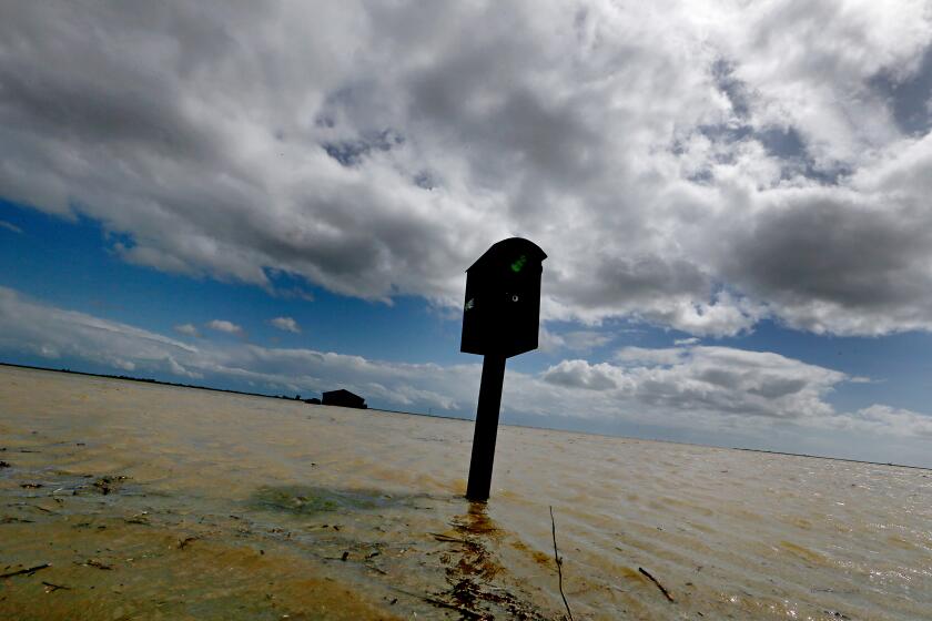
As historic storms fill once-dry Tulare Lake and submerge prime California farmland, tensions are building over how to handle the swiftly rising floodwaters.
In the much nearer term, however, the state will warm up this weekend, with above-average temperatures forecast through the end of the month.
“Flows on many rivers draining the Central/Southern Sierra will double or triple (with locally greater increases) as temperatures rise,” UCLA climate scientist Daniel Swain tweeted this week. “Some rivers will exceed flood stage, [and] Tulare Basin flooding will worsen.”
The state has seen widespread flooding this year after a series of epic storms. The unusually wet weather has resurrected Tulare Lake in the San Joaquin Valley, inundating thousands of acres of farmland. Areas of Kings and Tulare counties remain underwater and a handful of Central Valley rivers continue to flow above flood monitor stage, according to the California and Nevada River Forecast Center. Those conditions would worsen considerably with any rapid snowmelt.
“We’re going to see more flooding likely from the snowpack; the severity is going to depend on individual weather conditions in the region,” Schwartz said. But even with that threat, he called this record-high snowpack “broadly beneficial,” after three years of punishing California drought.
“That’s really helping us with restoring a lot of the water that we lost in the past” Schwartz said. If the melt can be more gradual, he said it would help to slowly refill depleted groundwater supplies and reservoirs.
But the next few days of warming shouldn’t be enough to cause panic, said Brett Whitin, a service coordination hydrologist with NOAA’s California and Nevada River Forecast Center.
“It takes a sustained warming period for the snow to really ripen and melt to get to elevations of flood stage, so over the weekend we’re not really anticipating a high likelihood of flooding,” Whitin said.
Newsom’s decision to rescind some of the most severe restrictions comes after drenching storms eased extreme drought conditions across the state.
He said a lot of snowmelt over the next week shouldn’t cause too many issues downstream, as he expects the runoff will be contained by the state’s reservoir system. There could be some flooding higher up in the Sierra later next week, depending on the amount of melting, like along the Merced River in Yosemite National Park, Whitin said, but they aren’t worried about widespread issues.
That cooler-than-average May “will definitely help slow the momentum down in terms of the snowmelt,” Whitin said, but he added that his team doesn’t make river forecasts more than four weeks out because of the high likelihood of unexpected changes.
“If we do see below-normal temperatures, we’ll see a decrease in river levels for sure,” Whitin said. “That’s what everyone is sort of hoping for. ... We want to see a gentle melt of the snowpack to help both keep rivers from exceeding flood stages by too much but also helping [not overwhelm] the reservoir management community.”
More to Read
Sign up for Essential California
The most important California stories and recommendations in your inbox every morning.
You may occasionally receive promotional content from the Los Angeles Times.
