- Share via
Despite forecasts of heavy rain and possible flooding in the coming days, state water managers are warning that the “snow drought” in California’s Sierra Nevada could remain for the rest of the winter and into the spring.
Storms that are moving in from the Pacific are forecast to bring more snow to the mountains starting this week, along with torrential rains in other parts of the state. But most of California’s storms this year have been shaped by warm conditions, bringing more rain and less snow — a trend that experts say is influenced by the current El Niño conditions on top of rising temperatures driven by human-caused climate change.
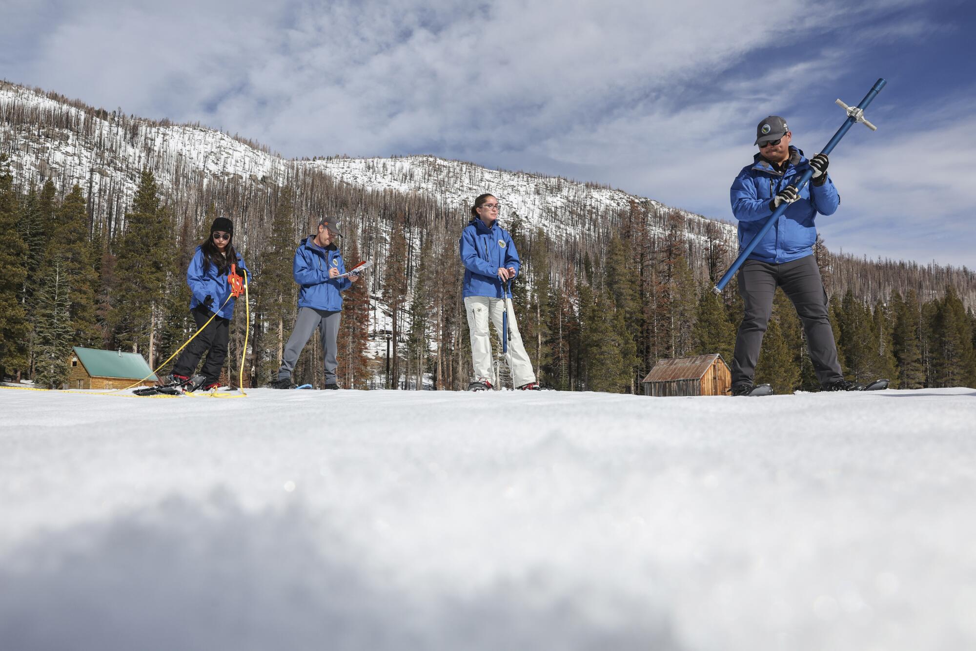
“Even though the storms during January slightly helped out our snowpack, we’re only about halfway of where we should be for this time of year,” said Sean de Guzman, flood operations manager for the Department of Water Resources.
Aggressive and impactful reporting on climate change, the environment, health and science.
After conducting the state’s second seasonal snow survey Tuesday, De Guzman noted that most of the storms this year have been warmer, bringing more rain and less snow.
“That rain-snow transition line has been creeping up further and further compared to years past,” De Guzman told reporters. “With a warming climate, we can expect that to be the new norm, where we would tend to see more rainfall where you would have typically seen snow.”
Climate change will push snow higher in California’s Sierra Nevada by the second half of the century, bringing more winter rain and faster mountain runoff.
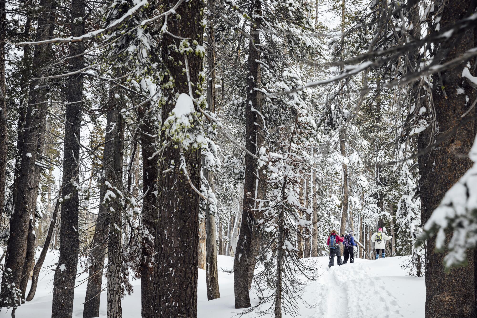
After California began the year with a dismal snowpack that measured just 25% of average, the amount of snow in the Sierra Nevada has grown but remains small for this time of year.
As of Tuesday, sensors across the Sierra Nevada showed the snowpack stood at 52% of average for the date, with two months left until the snow usually reaches its peak accumulation around April 1.
De Guzman and other officials measured 29 inches of snow at Phillips Station, near South Lake Tahoe. Last year at this time they had stood on more than 7 feet of snow — one of the largest snowpacks on record, which came during a colder winter.
California has traditionally relied on the Sierra snowpack for about 30% of the state’s water supplies on average.
But scientific research has found that in recent decades, average snowlines have been creeping higher with rising temperatures as more precipitation falls as rain instead of snow. And scientists say the current strong El Niño conditions have brought warmer temperatures, further tilting conditions toward more rain this year.

“Historically El Niño winters weren’t that much warmer than other winters in California, but now they are. That’s climate change,” UCLA climate scientist Daniel Swain said in a webinar.
“So I think the main reason why we’re seeing worse snow years, even in years that we’re getting a lot of water sometimes, is because of the long-term warming trend associated with climate change,” Swain said. “Partitioning that out is a little bit tricky, but that long-term warming trend is doing the lion’s share of work there. I mean, that is just the way it is, unfortunately.”
Swain said the first of two atmospheric rivers headed toward California is a warm “Pineapple Express,” packing rains that could initially shrink the snowpack a bit before adding to the snow. The second storm is forecast to arrive colder, Swain said, bringing several feet of snow in the Sierra.
Swain said he expects the two storms could boost the snowpack to 60% or 65% of average by the middle of next week.
“I don’t think we’re going to get higher than that. So there is still going to be a significant snow water deficit even after these very wet storms,” Swain said.
As of Tuesday, the snowpack across the Sierra Nevada stood at 32% of the April 1 average, with more snow in the northern part of the range and less in the southern Sierra.
Swain said while it’s hard to predict how the snowpack will turn out, this year could end up with a below-average snowpack “because of how warm it has been, and how much the storms have favored the coast rather than the mountains.”
“California could well see an above-average precipitation season and a below-average snowpack in the same season, and this is going to be a signature of wet years in a warming climate,” Swain said. “It’s getting warmer and it’s getting harder for that snowpack to accumulate at lower elevations, even though it still does so pretty well up at 8, 9, 10,000 feet.”
Low precipitation and warm temperatures are hampering snow accumulation in the Sierra Nevada and western United States, experts say.
State water officials said that while the situation could change between now and April, it’s possible California could remain in a “snow drought” while also getting above-average rainfall.
“This is an El Niño year, so these are warmer storms. They don’t produce snow as much as we saw like a year ago,” said David Rizzardo, manager of the Department of Water Resources’ hydrology section.
At this time last year, California’s snowpack measured 214% of average, one of the largest accumulations on record. That massive snowpack built up as a series of storms swept across the state amid colder temperatures.
Last year’s snow and rain refilled California’s reservoirs after the state’s three driest years on record. And water levels in reservoirs remain well above average for this time of year.
With the coming storms expected to dump torrential downpours in parts of the state, De Guzman and other officials urged residents to be prepared for possible flooding. They pointed out that last week communities in San Diego weathered their fourth-rainiest day on record.
As of Tuesday, statewide precipitation stood at 82% of average for this time of year.
Karla Nemeth, director of the state Department of Water Resources, urged Californians to “prepare for all possible conditions during the remaining months of the rainy season.”
State climatologist Michael Anderson said the approaching storms will bring “some pretty good snow buildup” but that it’s unclear how much closer to average the snowpack might turn out to be. He said one possibility is “because of the late start, we never quite catch up.”
The snowpack in the Colorado River Basin, another major water source for Southern California, is also below average for this time of year.
Meanwhile, the snow at UC Berkeley’s Central Sierra Snow Laboratory near Donner Pass measured 59% of average as of Tuesday.
Warmer temperatures have brought more “rain-on-snow” events at the lab this year, and warm weather over the last few days has led to some settling of the snow, said Andrew Schwartz, lead scientist at the snow lab.
“These storms will help get us closer to average for our snowpack,” Schwartz said.
“We’ve seen a fairly persistent snow drought this winter so far,” he said. “So fingers crossed that we can see these patterns continue and that, even if we wind up slightly below average, that’s a win compared to where we were at the beginning of January.”
Toward a more sustainable California
Get Boiling Point, our newsletter exploring climate change, energy and the environment, and become part of the conversation — and the solution.
You may occasionally receive promotional content from the Los Angeles Times.


