Storm creates mudslide mess but blankets mountains with fresh snow
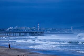
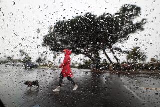
A cold front that pounded California with heavy rain Thursday and unleashed debris flows in fire-ravaged neighborhoods also left a blanket of snow on mountains across the state.
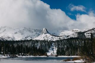
The fresh powder was a welcome byproduct of the storm for those hoping to strap on their snow boots early this ski season. The flurry marked the first natural snowfall of the season for Big Bear and arrived several weeks earlier than last year, said Justin Kanton, marketing manager for Big Bear Mountain Resort.
“This is what we wait for all year,” he said.
The storm dropped 4 to 8 inches of fresh snow in Big Bear, while Mountain High Resort in Wrightwood reported a dusting of up to 2 inches of powder. Farther north, more than a foot of snow dropped in Mammoth and Kirkwood.
Forecasters expect a bit more snow in the mountains along with chilly temperatures into the mid-60s and a slight drizzle in some Southern California cities over the weekend.
Officials predict the rain will be notably lighter than Thursday’s storm, which dumped a significant amount of moisture on the Holy fire burn area and sent a mixture of fast-moving mud and branches down a creek in Trabuco Canyon.
Other flows powered through Lake Elsinore — where crews rescued an elderly man who was stuck in Rice Canyon and removed two feet of mud from the garage of someone’s home — and closed a portion of Temescal Canyon Road in Corona.
A mud flow on Cuthbert Road between Horizon and Busch drives prompted Malibu officials to evacuate some residents Thursday afternoon. The flows, aside from leaving a mess for officials to clean up, did not cause significant damage.
Evacuation orders in Los Angeles, Riverside and Orange counties that were issued in preparation for the storm have been lifted.
Roads slick from rain also created chaos for commuters. Roughly 365 crashes were reported in Los Angeles County between 5 a.m. and 9 a.m. Thursday. That figure is four times higher than the previous day, according to the California Highway Patrol.
San Diego County, which got a deep soaking of as much as 5 inches of rain in some areas, is expected to see only a few tenths of an inch of precipitation Saturday. San Luis Obispo and Santa Barbara, which received more than 4 inches of rain during Thursday’s storm, also could see a bit of a drizzle, according to National Weather Service forecasters.
Snow levels in Southern California mountains could drop to 3,000 feet over the weekend, according to the National Weather Service. Snowfall could affect travel along Interstate 5 through the Grapevine on Saturday night and Sunday morning, with 1 to 2 inches of accumulation possible, forecasters said.
Los Angeles is expected to stay dry over the weekend after Thursday’s storm, which dropped just over an inch of rain downtown. The cold front brought total precipitation amounts for the area to just over 2 inches in less than two months, which is slightly above normal compared with past years, according to the weather service.
But officials said not to stash the umbrellas yet. Wet weather is expected to return by Wednesday.
“We’re certainly not looking at a massive downpour,” said John Dumas, a meteorologist with the National Weather Service in Oxnard. “It should be similar to what we saw this week.”
Times staff writer Hailey Branson-Potts and KTLA contributed to this report.
Twitter: @Hannahnfry
UPDATES:
4:45 p.m.: This article was updated with the possibility of snow on the Grapevine.
This article was originally published at 9:35 a.m.
More to Read
Sign up for Essential California
The most important California stories and recommendations in your inbox every morning.
You may occasionally receive promotional content from the Los Angeles Times.


