8 of the most memorable drives in the West
In national parks throughout the West, rangers and traffic engineers work long hours to nudge travelers out of their cars and onto trails — or at least onto shuttle buses and other less polluting alternatives. But the dramatic roads that the National Park Service carved out in the early 20th century aren’t going away.
Here are eight of the most memorable national park roads I’ve driven west of the Mississippi. Many close in winter.
For the record:
12:30 p.m. Sept. 13, 2016An earlier version of this article said Yellowstone National Park’s Grand Loop Road was in Montana. Grand Loop Road is in the Wyoming portion of the park.
SERIES: Celebrating our national parks »
Tioga Road
Yosemite National Park, Calif.
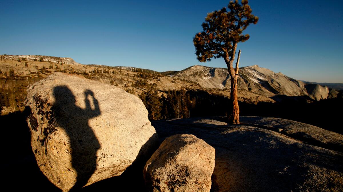
This seasonal route connects the Owens Valley to the Sierra. Tioga Road runs 59 miles from its eastern terminus at U.S. 395 in Lee Vining (near Mono Lake) to its intersection with Big Oak Flat Road at Crane Flat. From there, most people take Big Oak Flat Road 16 more miles to Yosemite Valley.
Views include Tuolumne Meadows, Olmsted Point and Tenaya Lake. Road usually opens in May or June and closes in November.
Conzelman Road
Golden Gate National Recreation Area, Calif.
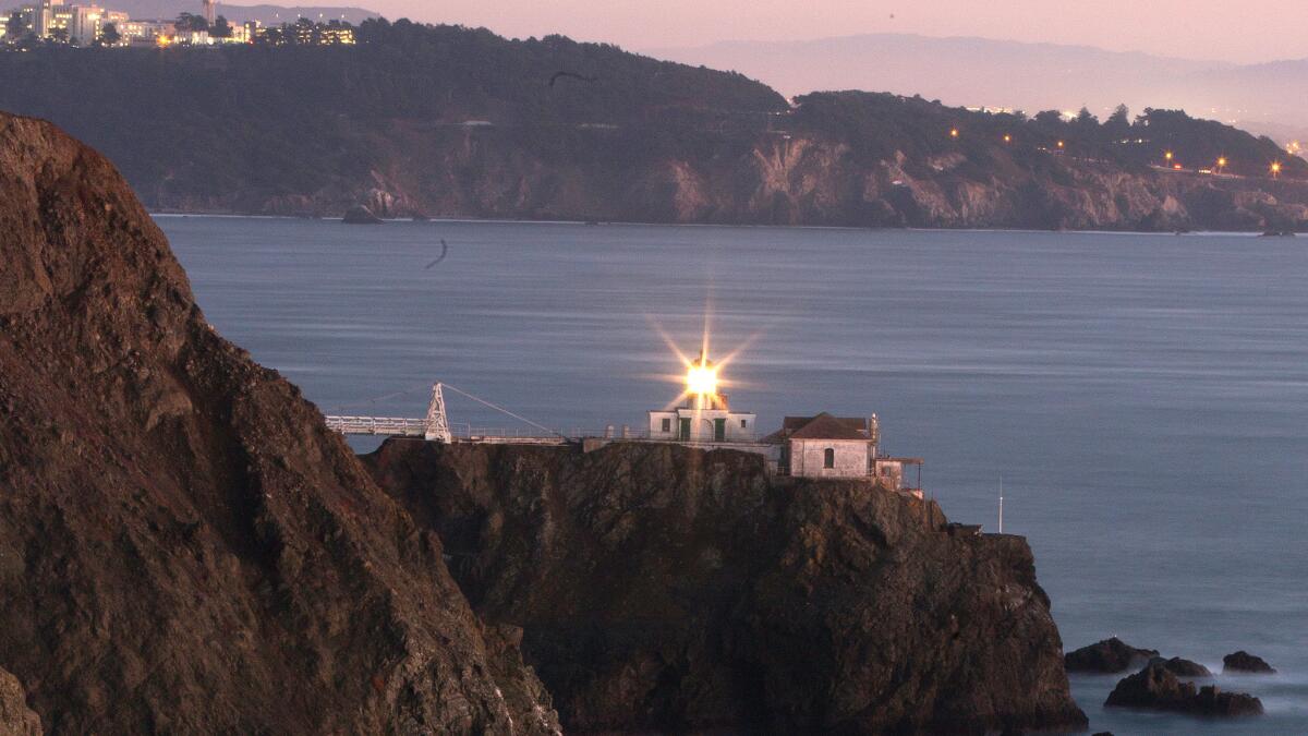
This five-mile, year-round road (also popular with bicyclists) climbs into the Marin Headlands and looks down on the Golden Gate Bridge, with San Francisco beyond it.
Near its end is the Point Bonita Lighthouse and more views to the north.
Going-to-the-Sun Road
Glacier National Park, Mont.
This seasonal 50-mile road connects the park’s east and west entrances through Logan Pass. It offers epic mountain, valley and lake views.
It was completed in 1933, but it’s been under major rehabilitation since 2007. It typically remains open May to September, depending on weather.
RELATED: What to know and where to go on your Western road trip »
Trail Ridge Road
Rocky Mountain National Park, Colo.
This 48-mile seasonal road connects the park’s western entrance at Grand Lake to its eastern entrance in Estes Park.
It crosses the Continental Divide at Milner Pass and reaches 12,183 feet near Fall River Pass. Typically open to vehicles from Memorial Day through Columbus Day.
Rim Drive
Crater Lake National Park, Ore.
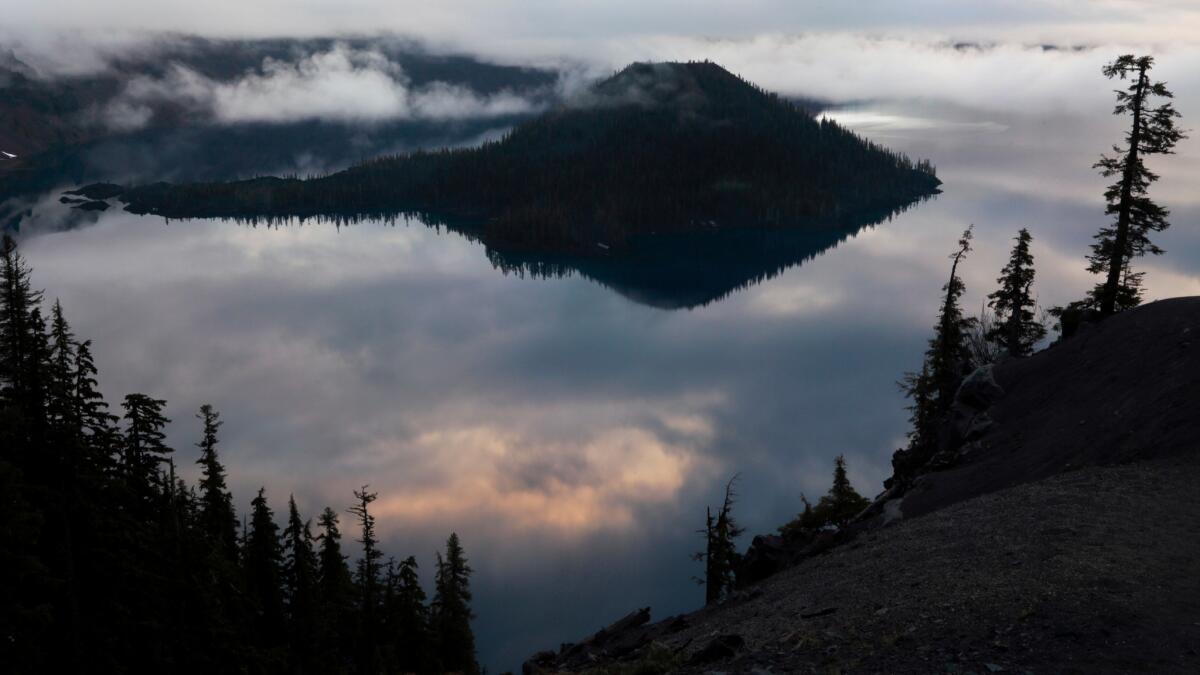
This 33-mile summer-only road circles the Crater Lake caldera, offering many deep blue views.
Titus Canyon Road
Death Valley National Park, California and Nevada
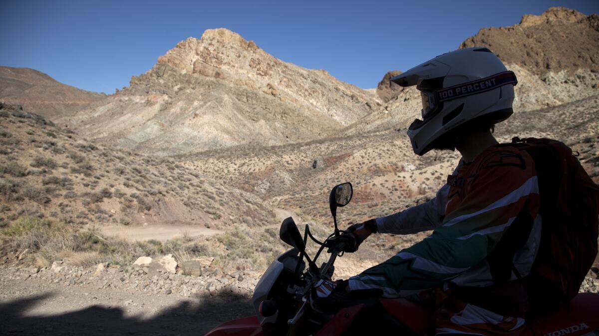
This 24-mile, one-way gravel road begins just across the Nevada state line, twists and turns through steep canyons. The most rugged ride on this list.
Grand Loop Road
Yellowstone National Park (The park also includes bits of Montana and Idaho, but this road is in Wyoming.)
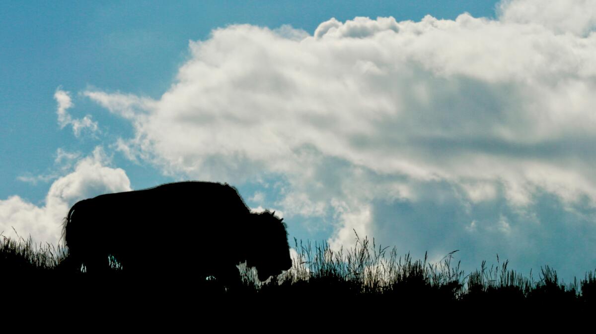
The roads at the heart of Yellowstone make a figure 8.
My favorite stretch is part of the lower loop: the 16 miles north of Yellowstone Lake and south of Canyon Village. There the road, which closes in winter, winds through Hayden Valley, overlooking the Yellowstone River and treeless lowlands that make for wide panoramas and prime wildlife viewing.
Newton B. Drury Scenic Parkway
Redwood National and State Parks, Calif.
It’s not as famous or as long as the 32-mile Avenue of the Giants farther south in Humboldt Redwoods State Park, but this 10-mile detour off U.S. 101, about six miles north of Orick, threads its way among towering redwoods without signage or commercial traffic. It’s a revelation even if it’s raining or foggy, which is often.
RELATED: Here’s what I found on America’s favorite country road, the Blue Ridge Parkway »
Twitter: @mrcsreynolds
MORE NATIONAL PARKS
Quiz: How many national parks have you visited?
10 adventures to pursue in San Francisco’s Golden Gate National Recreation Area
More to Read
Sign up for The Wild
We’ll help you find the best places to hike, bike and run, as well as the perfect silent spots for meditation and yoga.
You may occasionally receive promotional content from the Los Angeles Times.
