With more wind this weekend, Southern California will likely remain dry through February

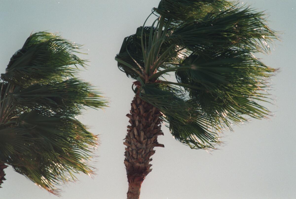
If you liked Southern California’s windy weather over the last few days, you should love the system expected to arrive over the weekend.
Another moisture-starved low-pressure system, known as an inside slider, will move into Northern California on Sunday, bringing a few degrees of cooling and increasing clouds but no precipitation. The trough will move farther south Monday, bringing the potential for strong, gusty winds lasting into Tuesday.
Last weekend, an inside slider briefly shifted far enough west to pick up some moisture and spin it into the area, according to Kathy Hoxsie, a meteorologist at the National Weather Service in Oxnard. Our next inside slider will be a little drier, and the winds won’t be quite as strong. “The next two weeks look really dry,” said Hoxsie.
Last weekend’s system didn’t bring much rain, but it did fuel some strong winds.
“Some of our strongest Santa Ana wind events look like this,” said climatologist Bill Patzert. They tend to be cold because they come with strong northerly winds.

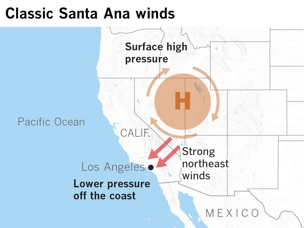
Instead of surface high pressure over the Great Basin or Four Corners region like a classic Santa Ana wind event, these inside sliders result from a low pressure system moving south over land in California. Because it approaches over land, the storm doesn’t pick up moisture like a system moving over the Pacific Ocean.
The winds are a product of the relative position of the low and a big Pacific high off the coast, which creates a strong pressure gradient that intensifies the winds. The effect is the same as classic Santa Ana winds, but the cause is different, said Patzert.

“An offshore flow scenario like this gives us some of the cleanest air of the year,” said Patzert. “The good news is that the air is clean, but the bad news is that it’s full of pollen from the high desert. It’s clean but sneezy weather.”
Another piece of bad news is the lack of rain as the blocking high in the Pacific dominates. Northern and Central California continue to lag further behind normal as the rainfall season progresses, and some Southern California locations that were normal or above are also slipping below normal.
“Our early, promising rain has definitely fizzled,” said Patzert. “We’re on a dry trajectory and reaching normal will be a stretch.”
After a dry fall in Northern California, the season that started with a powerful “bomb cyclone” in late November and an atmospheric river that dumped torrential rain on the mountains around Big Sur has turned disappointingly dry.
“Mother Nature is hanging us out to dry,” concludes Patzert.
More to Read
Sign up for Essential California
The most important California stories and recommendations in your inbox every morning.
You may occasionally receive promotional content from the Los Angeles Times.


