Daily showers paving the way for heavy rain next week

Light to moderate precipitation in Southern California on Thursday may pave the way for a much stronger Pacific storm early next week, forecasters said.
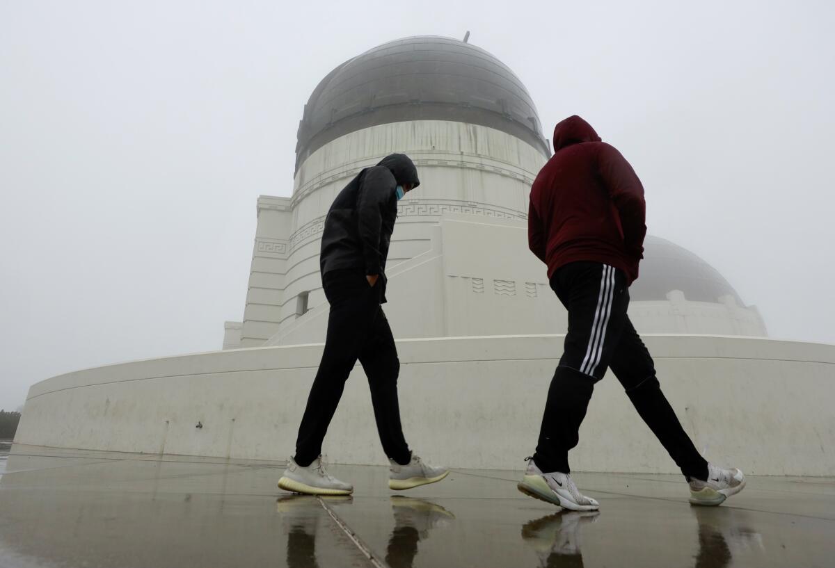
Thursday’s drizzle is expected to deliver about a quarter-inch of rain to the Los Angeles area — only slightly more than the rainfall totals earlier this week — and taper off by the early evening.
Maximum temperatures will “struggle to reach even 60 degrees,” hovering as much as 8 degrees below normal, the National Weather Service said.
By midafternoon, the cool conditions were contributing to a welcome influx of snow in some areas, with residents reporting a flurry of powder in the mountains near Big Bear. The weather service reported that snow levels in some areas had dropped to 4,500 feet.
Officials said the rest of the week should be relatively quiet, save for the possibility of overnight frost and a freeze in the Antelope Valley and other interior areas.
But all eyes are on next week, when “the most significant storm of the season” is expected to move through the region, forecasters said. The strong Pacific storm could tie into an atmospheric river, with the potential to drop heavy rain and significant snow in the mountains.
Officials said Thursday that precipitation amounts could be two to three times more than the October storm that dropped a deluge across the state.
The storm is forecast to hit Southern California next Monday through Wednesday, the National Weather Service said. The coast and valleys could receive 1 to 3 inches of rainfall, with 3 to 5 inches possible in the foothills and mountains by Tuesday night. South-facing slopes can expect the most rain.

Rainfall rates are not certain, but at least moderate rain is likely, with heavy rain possible at times. The best chance of heavy rain will come Monday afternoon into the evening, forecasters said.
Such rain could lead to localized flooding as well as the risk of flash flooding and mud and debris flows in wildfire burn scars.
Snow levels in the Southern California mountains are expected to drop quickly Tuesday with the arrival of colder air. At resort levels — 7,000 feet and above — 2 feet or more of snow is likely to accumulate. Snow accumulations below resort elevations will depend on when the colder air arrives.
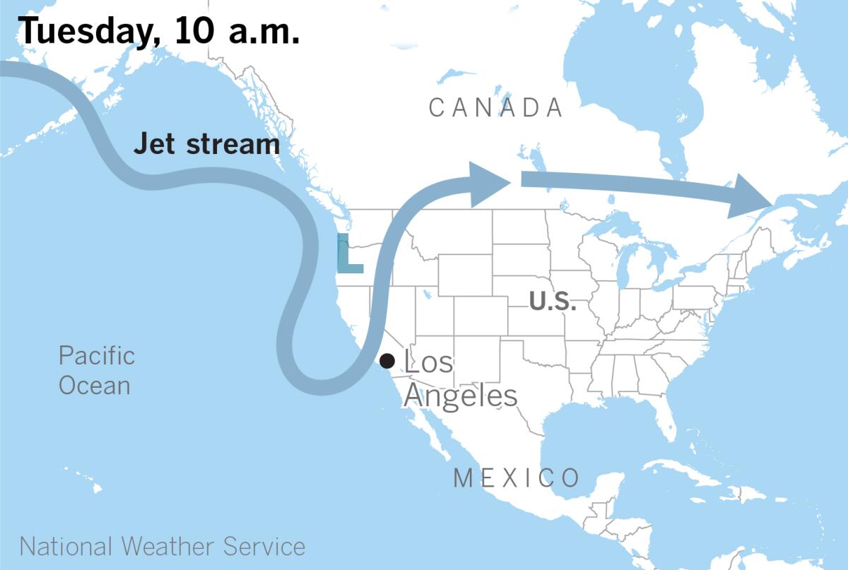
Next week’s storm will come from the Gulf of Alaska and will be much colder with more energy than Thursday’s system, said Alex Tardy of the National Weather Service in San Diego. The storm will drop southward over the eastern Pacific and will be a slower-moving system. Before it shifts eastward Tuesday, it could tap into a plume of tropical moisture from the south, in the form of an atmospheric river.
“We have two things going for us with this storm,” Tardy said. “It is a large, deep storm, and slow-moving, but it is also potentially tapping into significant moisture from the south.”
The atmospheric river is projected to be the most significant across Central and Northern California, from Monterey County to Mendocino County, said Eric Boldt of the weather service office in Oxnard.
In Northern California, the cold origin of the low-pressure system in the Gulf of Alaska sets up the potential for very heavy mountain snow, forecasters say, with accumulations possible into the foothills and far northern Sacramento Valley.
The extended outlook calls for cool, below-average temperatures across the West and much-above-average potential for precipitation for Central and Southern California.
November was unusually warm in Southern California, with record temperatures in the inland mountains and deserts. Most locations had no precipitation during the month. The state remains in the grip of exceptional to extreme drought, according to data from the U.S. Drought Monitor. Most areas of Southern California are at less than 50% of average for the water year that began Oct. 1.
Regarding the probability of atmospheric river conditions, Tardy said it isn’t unusual to see such a storm in December, although “we didn’t see one last year, and we barely saw one the year before.” Atmospheric rivers of this size and intensity occur every several years, he said.
More to Read
Sign up for Essential California
The most important California stories and recommendations in your inbox every morning.
You may occasionally receive promotional content from the Los Angeles Times.


