An early-season storm could help suppress Northern California wildfires

An early fall storm system could bring sustained rain to parts of the Central Coast and Northern California, including over the Mosquito fire, which became the state’s largest wildfire of the year Wednesday night.
Though the forecast is subject to change, National Weather Service meteorologists and California Department of Forestry and Fire Protection officials say the rain could help fire suppression efforts.
“This will not be a season-ending event for fire weather but rather a season-slowing event,” according to the weather service’s Sacramento office. “Fuels are still critically dry, near record levels, and a period of warmer, drier weather will likely follow the rain.”
The good news: Any precipitation will help ongoing or new fires, meteorologists said.
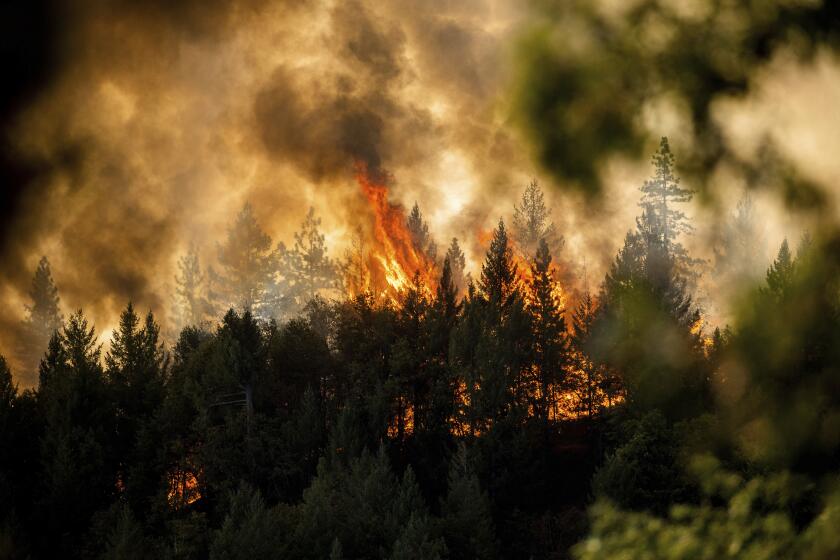
The Mosquito fire in the Sierra Nevada foothills has burned 67,669 acres and is 20% contained.
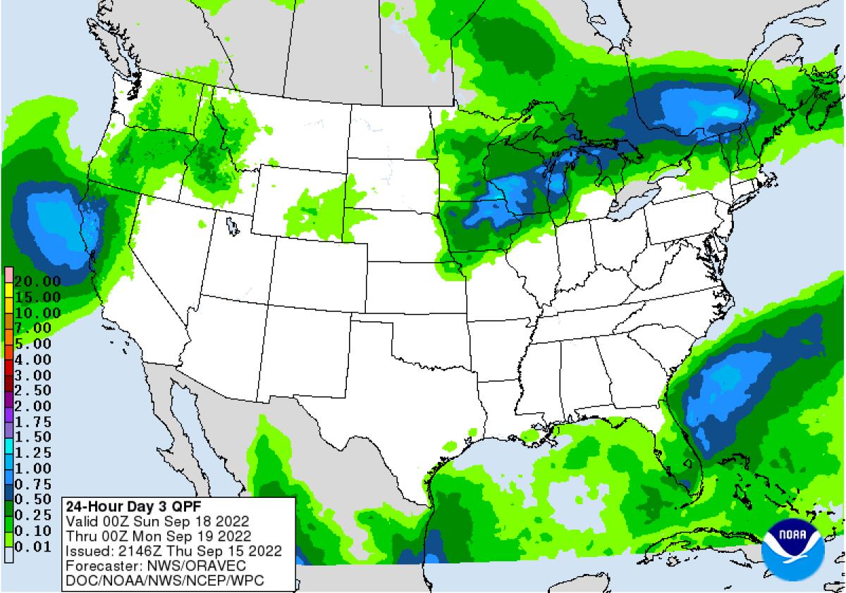
The storm system is expected to drop along the West Coast, bringing widespread rain beginning Saturday evening and continuing in some areas until Tuesday, according to the weather service.
Forecasters expected half an inch to 1 inch of rain, with potential for more at higher elevations.
“Snow levels will be high, above pass levels,” the meteorologists said.
According to Scott Rowe, a meteorologist with the weather service in Sacramento, there is a 40% chance of 1 inch of rain in the Mosquito fire burn area.
Forecasters are also calling for breezy winds out of the south-southwest, with gusts of 25 to 40 mph, before and after the system arrives, Rowe said.
Those winds will be a concern for any ongoing or new fires.
Crews battling the Mosquito fire, which was most recently recorded at 67,669 acres and 20% containment Thursday night, are keeping an eye on weather conditions, said Kevin Tidwell, a public information officer assigned to the blaze.
A fire meteorologist working with authorities on the Mosquito blaze was continuing to fine-tune the forecast, Tidwell said, adding that it was still too early Thursday to say exactly how much rain could fall.
Although slow, sustained precipitation will be a boon to firefighting efforts, any precipitation, especially heavy rain produced by thunderstorms, carries a risk of debris flows in a burn area.
The storm system expected over the weekend is expected to be less intense but could bring isolated thunderstorms, Rowe said.
“We call this type of precipitation stratiform rain,” he said. “Most of the moisture will not come from thunderstorms.”
More to Read
Sign up for Essential California
The most important California stories and recommendations in your inbox every morning.
You may occasionally receive promotional content from the Los Angeles Times.


