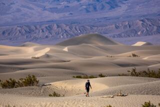
Hilary ‘reshaped the landscape’ of Death Valley; storm damage closes park, maybe for months
DEATH VALLEY JUNCTION, Calif. — Clouds of thick white dust billowed through Death Valley National Park this week as crews maneuvered bulldozers and Big Cats to clear the remnants of a rare and record-breaking tropical storm.
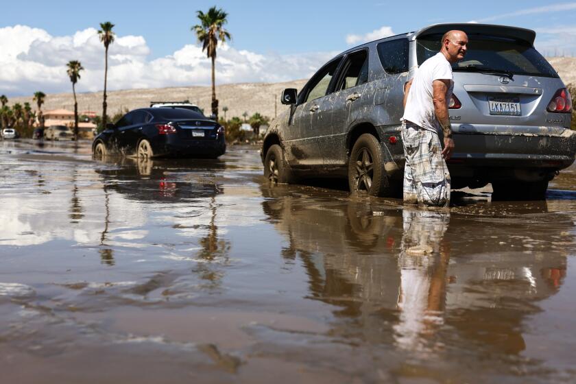
On Aug. 20, Tropical Storm Hilary tore through the park near the border of Nevada, dropping more than a year’s worth of rain — 2.2 inches — in one day, forever transforming one of the hottest and driest places on Earth.
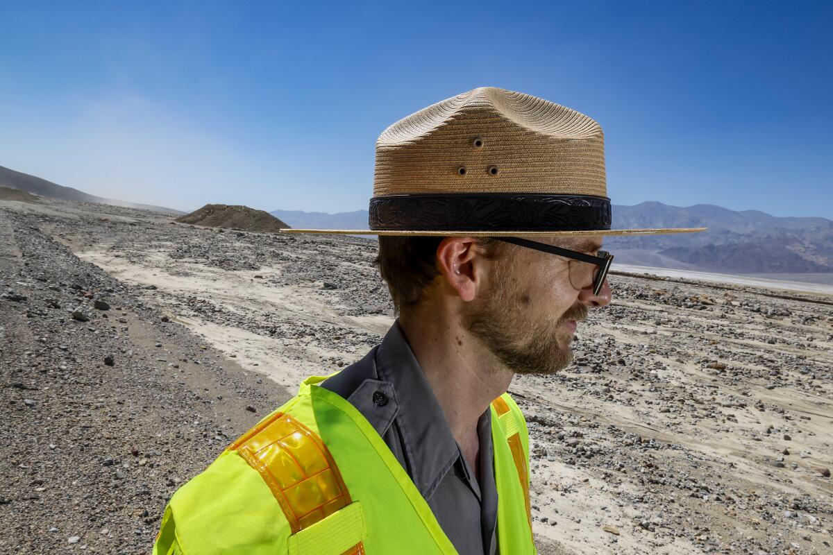
“Two inches of rain does not sound like a lot, but here, it really does stay on the surface,” said Matthew Lamar, a park ranger. “We have these hard, rocky areas — there’s nothing to absorb that water, and so it comes off the mountains, into the canyons and through the washes and drainages and up into the infrastructure. Two inches of rain here can have a dramatic impact.”
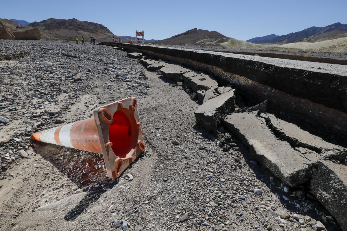
As Hilary bore down, torrents of water rushed through Death Valley, forging new gullies, displacing heavy rocks and undercutting roadways, including State Route 190, one of the park’s main thoroughfares.
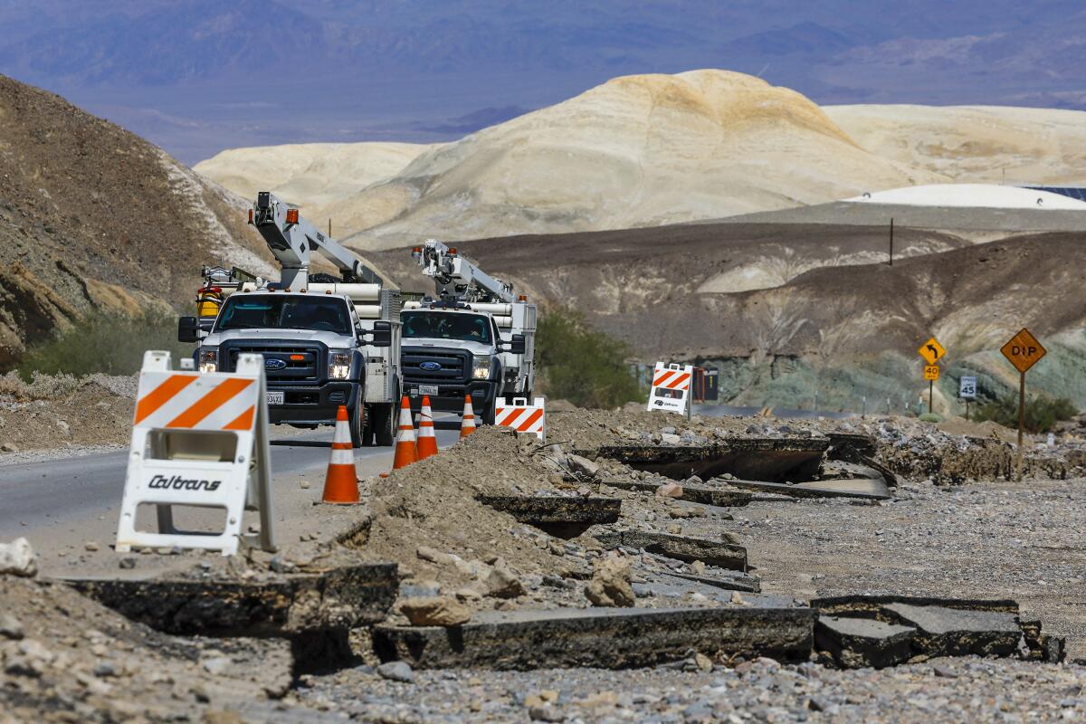
Chunks of the highway, including entire lanes, now lay in crumbles, and officials say it could be months before the park reopens.
“There is a lot of damage and it’s pretty widespread,” Lamar said beneath a white-hot sun in 117-degree weather. “There’s a lot of pavement loss. It’s definitely going to be a while.”
Tropical Storm Hilary left most of Southern California relatively unscathed. But Coachella Valley residents must deal with messy aftermath.
Among the damaged areas is a 1,500-foot stretch of roadway near Towne Pass that “washed away,” said Christopher Andriessen, a spokesman with the California Department of Transportation, District 9.
East of Towne Pass, a 40-foot-wide Arizona Crossing — a type of culvert — is gone, as are multiple swaths of pavement between Death Valley Junction and Olancha, Andriessen said, including some as long as 300 feet. As a result, hotels and campgrounds are closed for the foreseeable future.
The estimated cost of repairs is so far about $6 million, but that includes only State Route 190 and a small part of State Route 136, Andriessen said. Only about 900 of the park’s nearly 1,400 miles of roadways have so far been assessed.
Though the storm broke the park’s record for daily rainfall, the previous record, 1.7 inches, was set only a year ago when another powerful storm tore through Death Valley on Aug. 5, 2022.
Officials said rain isn’t uncommon in the typically arid park, but such massive quantities arriving in back-to-back years signals a trend toward extreme weather driven by human-caused climate change.
“Climate models do seem to indicate that we will see more intense storms along with the higher temperatures that we’ll be getting,” Lamar said. “No one storm proves climate change, but when it keeps on happening, it does develop a trend.”
The park, which holds the current record for hottest temperature on Earth — 134 degrees, set in 1913 — has experienced seven of its 10 hottest years on record in the last decade. In July, temperatures soared to 128 degrees, with officials fearing that ever-warmer conditions will threaten the park’s delicate ecology.
Death Valley, one of the most extreme places on the planet, is already seeing the impact of climate change, with summers even hotter than usual.
But though Hilary delivered major damage to roadways and reshaped some of the park’s geology, some of its most famous sites fared better.
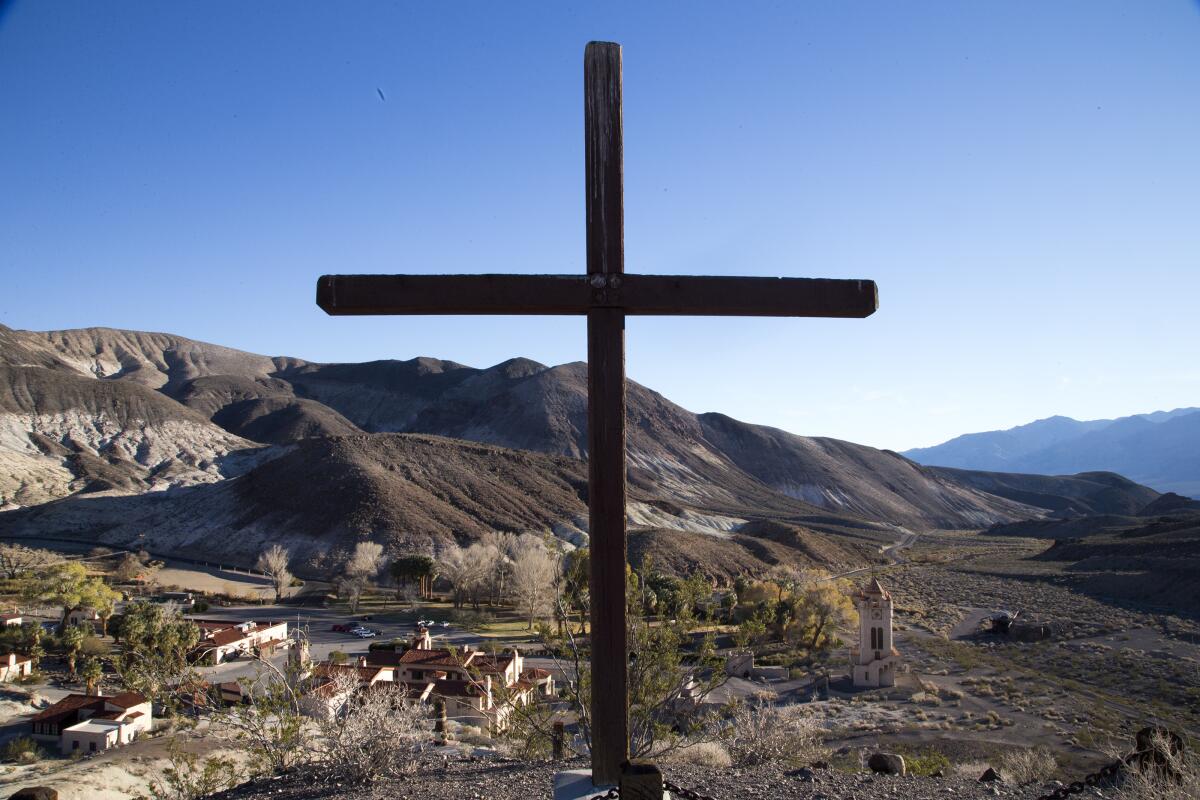
That includes Scotty’s Castle, an ornate 1920s mansion that suffered significant damage from a 2015 storm but made it through Hilary without additional harm. (The 2015 storm also damaged about 17 miles of roadway between Badwater Basin and Furnace Creek, which took months to repair.)
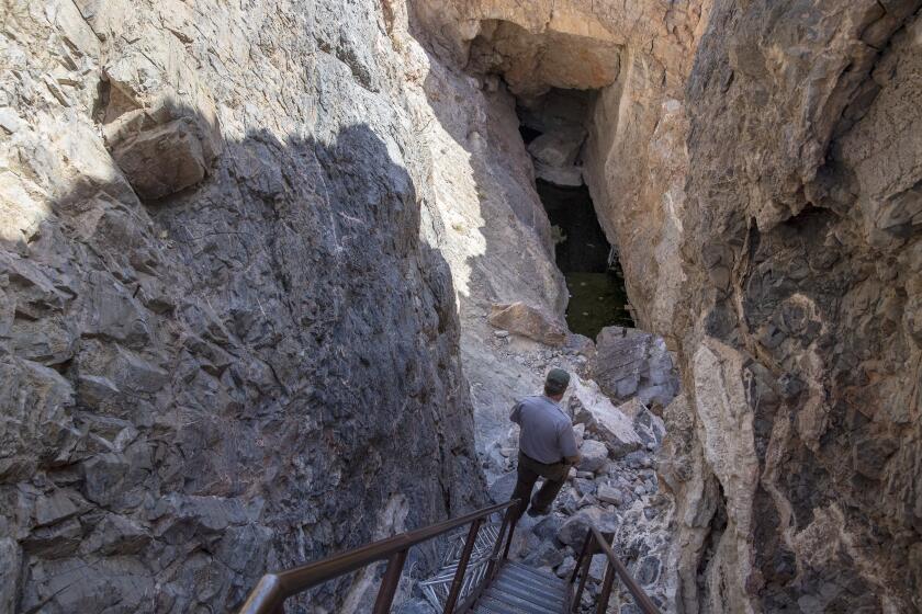
Crews did find some drowned scorpions and lizards after the rain, but the endangered Salt Creek pupfish survived Hilary, Lamar said. The critically endangered Devil’s Hole pupfish in the nearby Ash Meadows National Wildlife Refuge also weathered the storm, said Olin Feuerbacher, a biologist with the U.S. Fish and Wildlife Service.
“Being located at a somewhat higher elevation than most of the Ash Meadows [National Wildlife Refuge], they only received a light flow of water and material from the nearby hillside and escaped the heavy flooding that the rest of the refuge experienced,” he said.
Less known are the effects of the tropical storm on the park’s Bristlecone pines, which are among the oldest trees on Earth. The park’s pine population is located on Telescope Peak, which received an estimated 5 to 10 inches of rain during the storm.
Crews have not yet been able to get to the peak to assess the Bristlecones because of debris from the storm, including downed Pinyon pines blocking roadways, Lamar said. It is possible that strong winds and erosion may have affected the Bristlecones as well.
At the same time, “rain is a good thing” for the trees, which are the park’s species most impacted by climate change, Lamar said. The trees have suffered at least a 70% increase in mortality over the last decade due to severe drought and bark beetle infestations.
It was almost 10 years ago that biologists feared the Devil’s Hole pupfish was on the verge of extinction. Things look a little better today.
Lamar, who was one of about 50 park employees inside Death Valley during the storm, said he was prepared for the worst. His wife evacuated, but he stayed home with bottled water and several days’ worth of food and supplies.
He recalled two major bouts of rain in the morning and the evening as the storm moved through, and said he knew then that there would be significant effects.
“It certainly reshaped the landscape,” he said. “Alluvial fans were reshaped, canyons were reshaped. Things that were there before will no longer be there.”
The park will probably take a financial hit from the closures, particularly because the cooler fall and winter months tend to be popular times for visitors, although officials said it is too soon to put a dollar amount on the expected losses.
The damage from the storm may also affect how officials think about the park’s roads, which were quickly undercut by the surging water. More reinforcement, including improved drainage, will probably be needed as extreme weather events intensify, Lamar said.
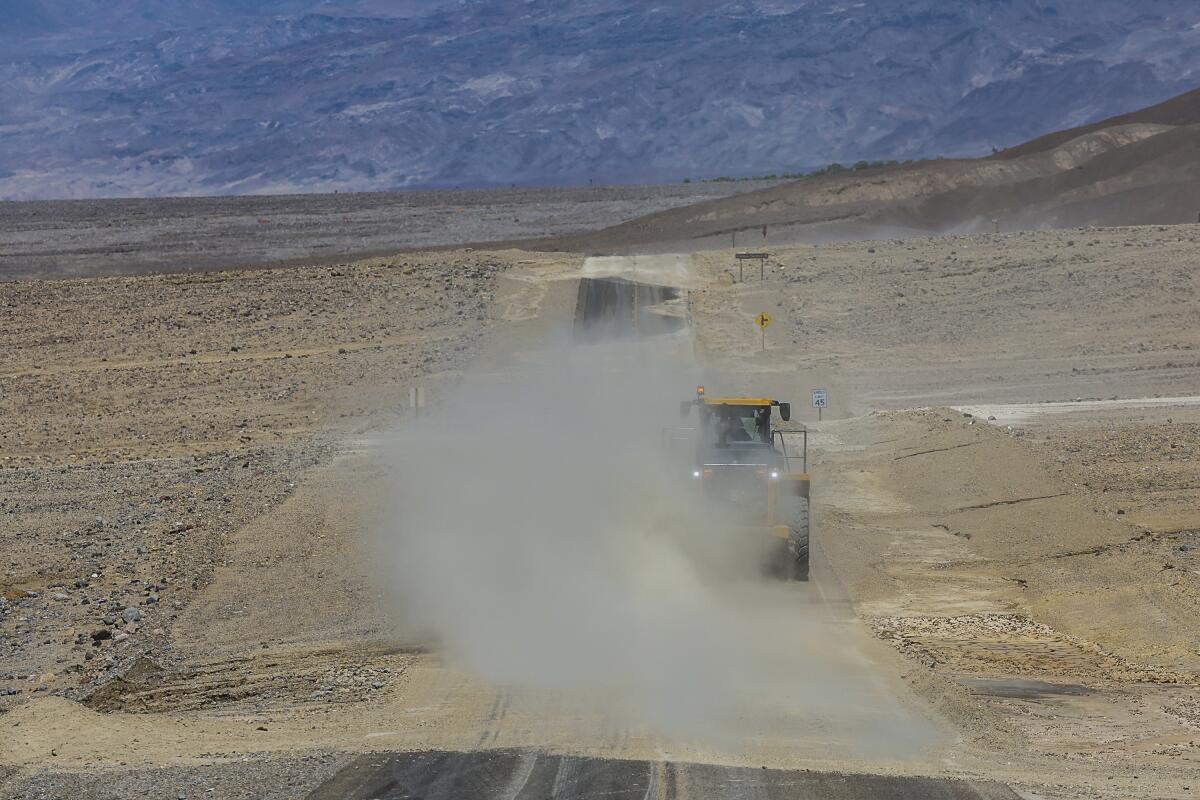
Andriessen, of Caltrans, said crews are aiming to reopen State Route 190 in about three months. Other roads, including the one that runs from Furnace Creek to Badwater Basin, the park’s lowest point, are federally managed and also in need of repairs. There is no current estimate for its reopening.
But while Hilary was a record-setting shocker, the presence of water is also part of the park’s history, said Elyscia Lettermen, an interpretive park ranger.
During America’s last Ice Age more than 100,000 years ago, Death Valley was part of a large system of lakes. She noted that there are fossilized water ripples in mud layers in some parts of the park.
“Water is what helped sculpt this landscape — it’s not something new,” Letterman said. “Water, even though it’s rare, is a huge part of the story here.”
More to Read
Sign up for Essential California
The most important California stories and recommendations in your inbox every morning.
You may occasionally receive promotional content from the Los Angeles Times.
