Is relentless California heat wave finally ending? Slight cooling on tap for weekend

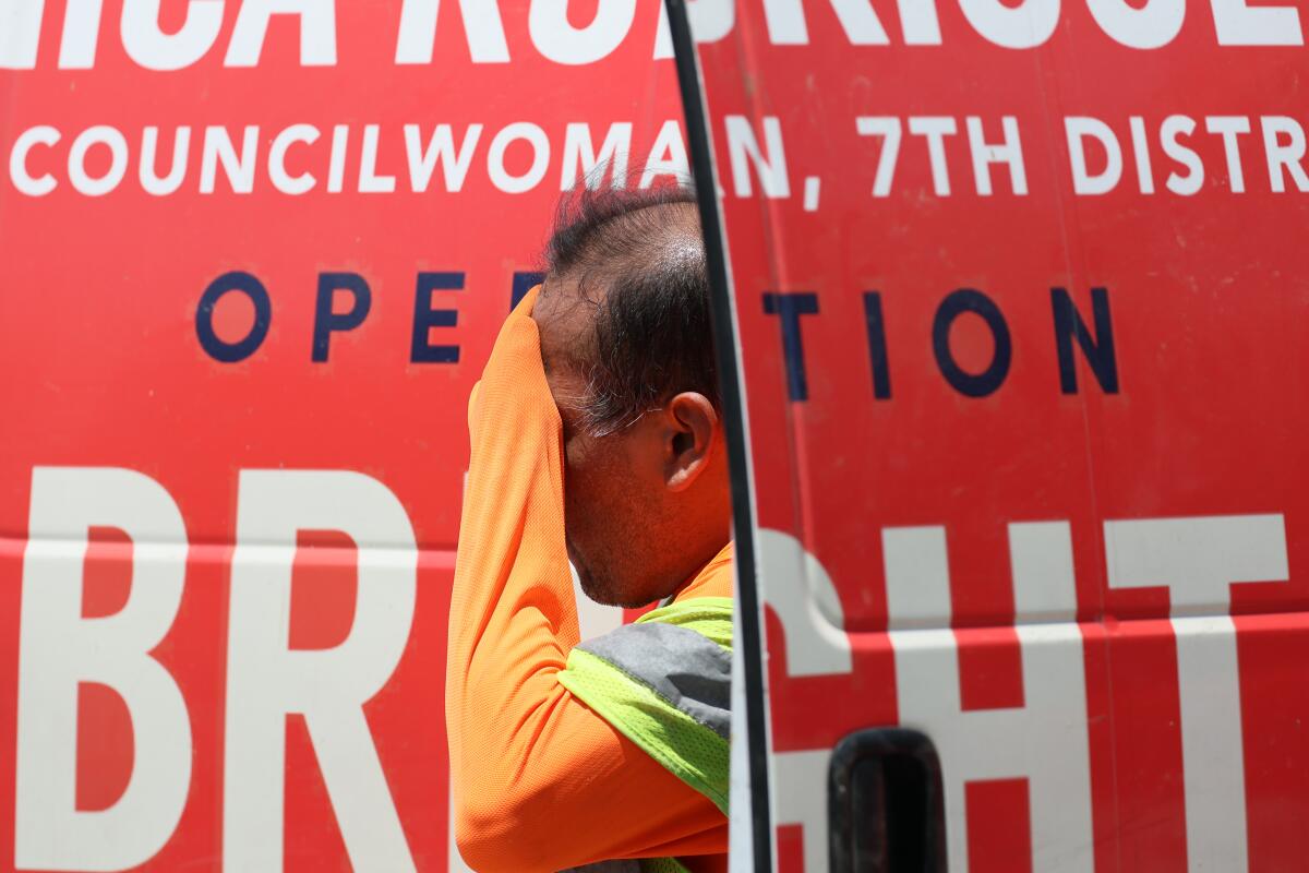
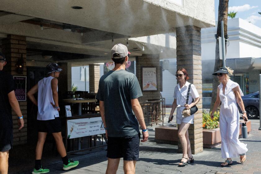
Californians could soon feel a bit of relief after almost two weeks of an oppressive heat wave that has relentlessly broiled the state and set several temperature records.
“A cooldown should start on Friday, [and last] at least through the weekend,” said John Dumas, a National Weather Service meteorologist in Oxnard. “But when you start out more than 10 degrees above normal, it will still feel quite warm.”
Most of Southern California can expect to see a few degrees of cooling each day, beginning Friday through Monday, Dumas said — though some areas, including the Antelope Valley, will remain in the triple digits.
The ridge of high pressure, known as a heat dome, that has driven the extreme temperatures has parked itself over California and its eastern neighbors since early last week. But forecasters say it will begin to shift eastward by the end of the week.
Here is a list of temperature records broken during this long-duration, extreme heat wave broiling California and the West.
“Until it does, we’re going to be hot, hot, hot,” said Dan Berc, a National Weather Service meteorologist in Las Vegas.
Potentially record-breaking and dangerous highs are still forecast across much of the region through Friday.
Temperatures in Lancaster and Palmdale soared to more than 110 degrees Tuesday, the cities’ sixth consecutive day at or above that mark — doubling the length of the prior record. Barstow-Daggett Airport in the Mojave Desert again tied its all-time high at 118 degrees on Tuesday, and several locations set record highs for July 9, according to the National Weather Service.
That pattern will likely continue for the next few days.
Extreme heat is the nation’s deadliest climate hazard. State leaders need to move much faster to protect residents and workers from the growing threat.
“Stay cool, stay hydrated, stay informed,” the weather service warned, urging residents to take the extreme heat seriously. “Anyone overcome by heat should be moved to a cool and shaded location. Heat stroke is an emergency!”
Excessive heat warnings across southwestern California remain in effect through Thursday night, with highs up to 108 possible for much of the Inland Empire and coastal valleys and mountains.
In Northern California, most heat advisories will remain in effect slightly longer, through Friday, with the Bay Area mountains, Sacramento Valley and surrounding areas bracing for a second peak of heat Thursday and “widespread major to locally extreme heat risk anticipated,” forecasters warned.
Parts of the state, including the Antelope Valley and much of the San Joaquin Valley, will remain under severe heat warnings through Saturday.
“A cooling trend is expected by Friday and the weekend but temperatures will remain well above normal inland,” National Weather Service officials wrote in a Wednesday forecast. “High pressure aloft continues to impact the forecast area, with dangerously hot weather continuing across the majority of the region through at least Thursday.”
More to Read
Sign up for Essential California
The most important California stories and recommendations in your inbox every morning.
You may occasionally receive promotional content from the Los Angeles Times.


