Thunder, lightning and hail: Winter puts on a show as rain moves into L.A.
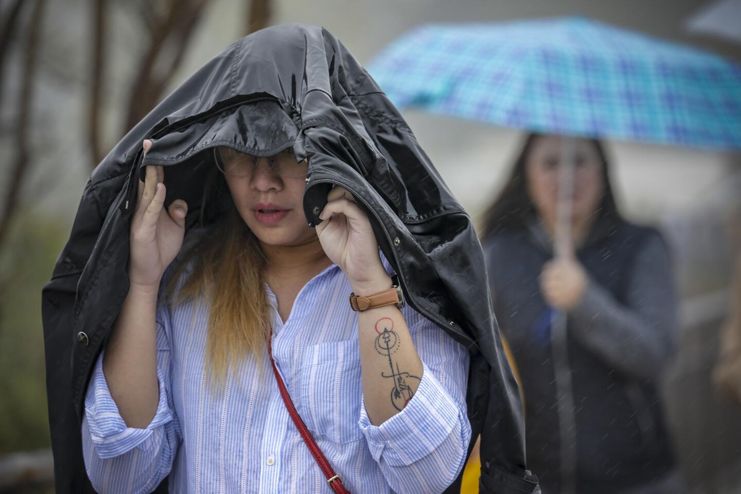
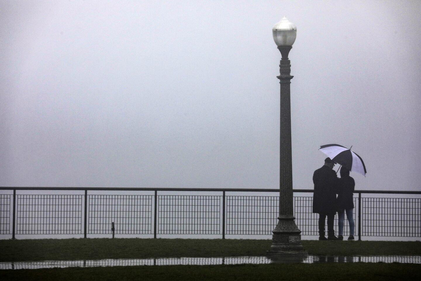
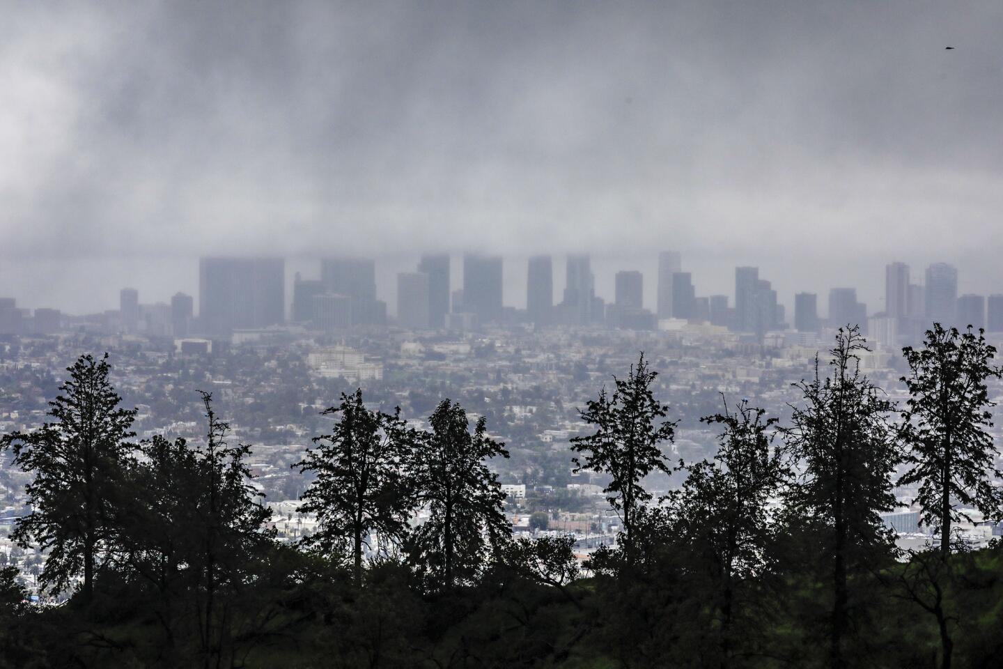
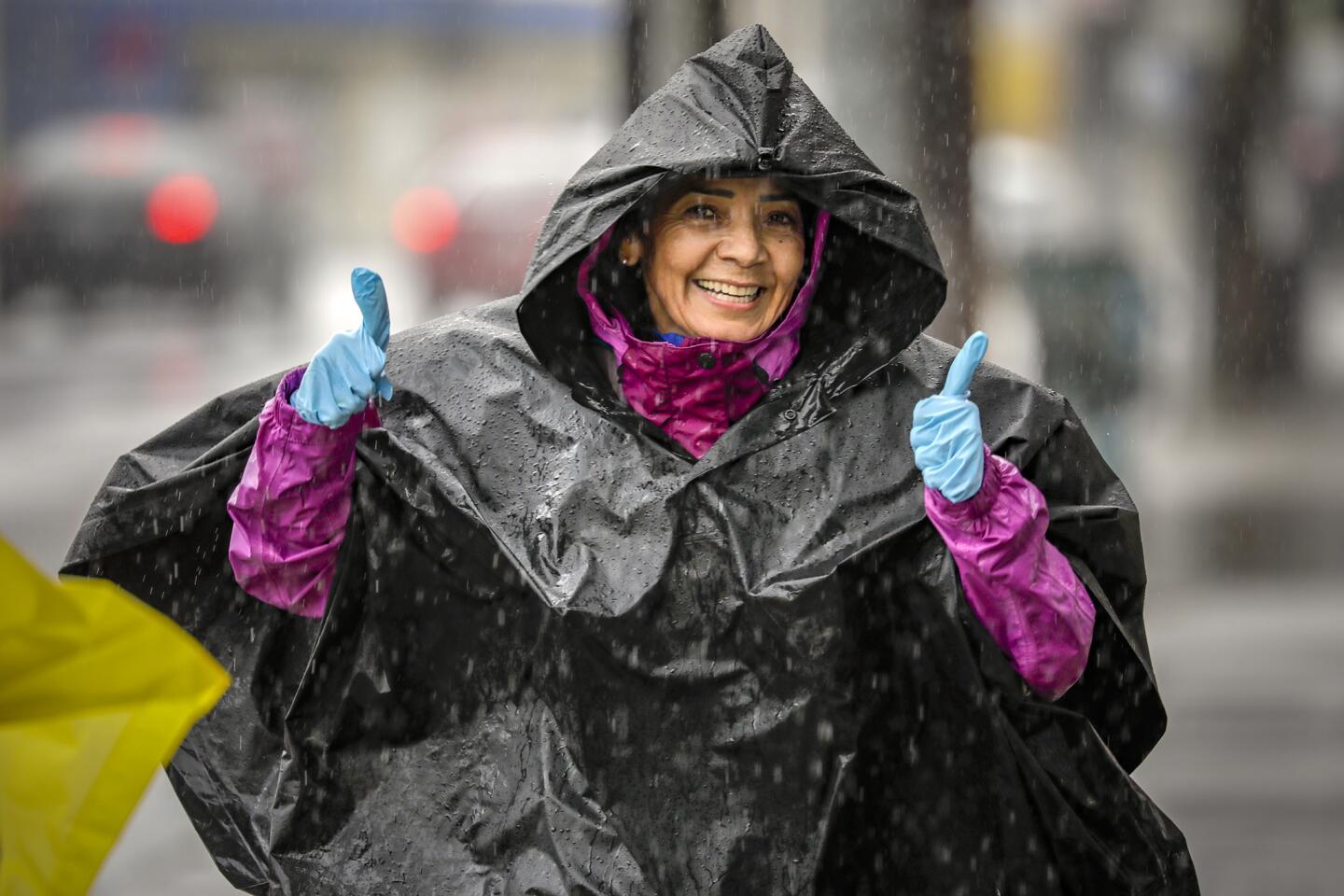
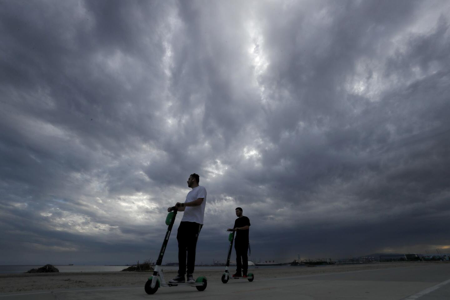
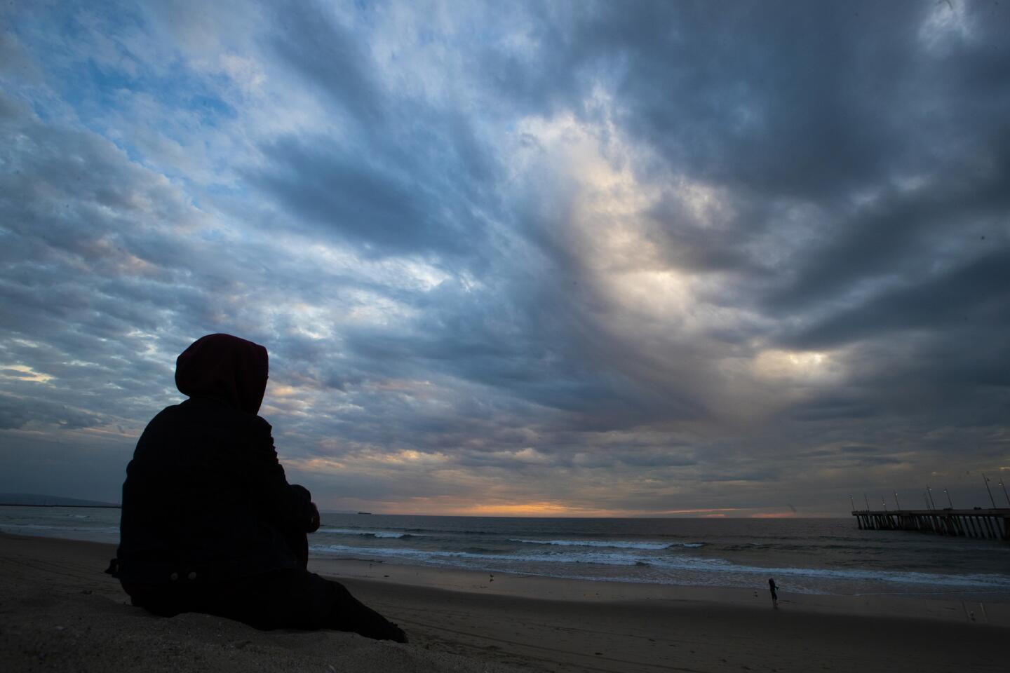
An atmospheric-river-fueled winter storm hammered the region with heavy rain, hail and thunderstorms overnight, producing a dramatic lightning show in the Southern California sky — and it’s not over yet.
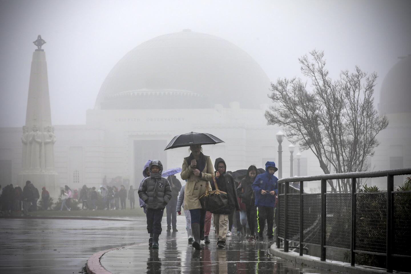
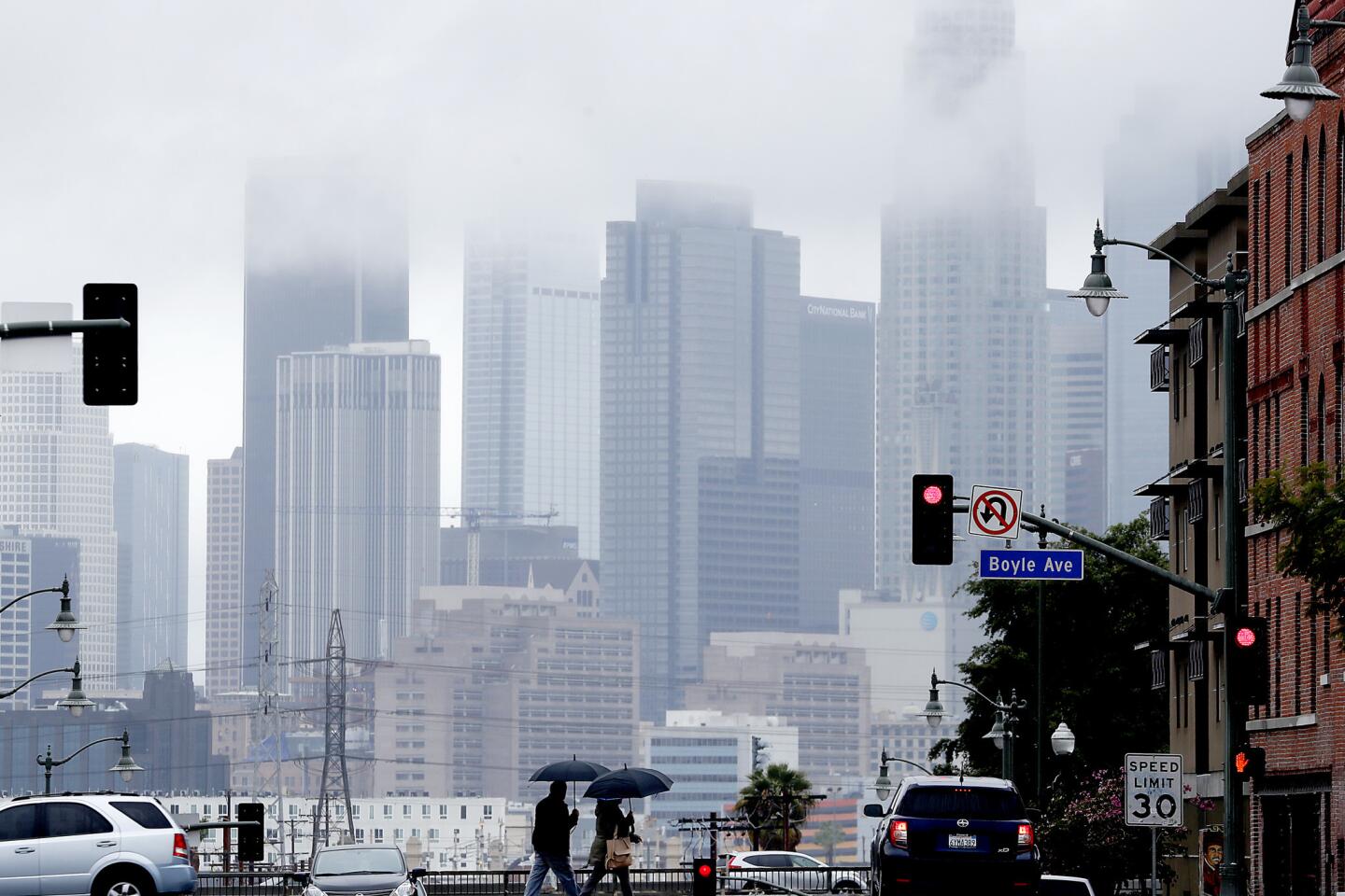
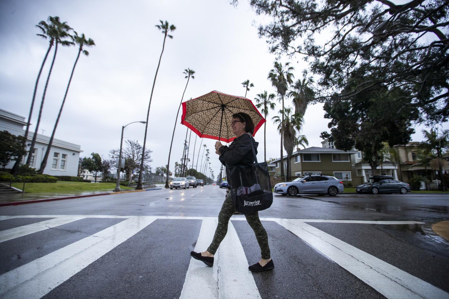
The latest storm in the state’s wild winter, which dumped heavy rain on Santa Barbara County overnight, moved into Los Angeles County early Wednesday and was expected to linger throughout the day.
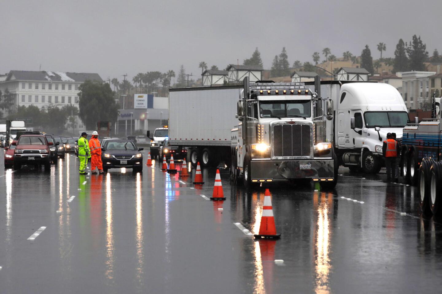
Bands of heavy showers in Malibu sent mud and rocks sliding onto Malibu Canyon Road, temporarily blocking a portion of the southbound side of the street, as the storm settled into L.A. early in the day.
Officials closed a stretch of Pacific Coast Highway between Warner Avenue and Seapoint Street in Huntington Beach later in the morning after the rain moved into Orange County.
The storm also forced Knott’s Berry Farm and Six Flags Magic Mountain to close.
Forecasters predict scattered showers through Friday.
From 1.5 to 2 inches of rain is expected to fall in Malibu, Woodland Hills, Santa Clarita and Pasadena through early Thursday, while the rest of Los Angeles will likely see about an inch of precipitation or slightly more, according to the National Weather Service.
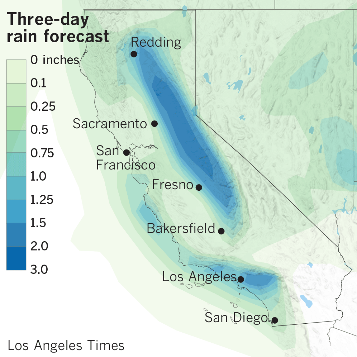
The brunt of the storm hung over Santa Barbara and Ventura counties overnight, dumping — in just nine minutes — 0.24 inches on the Thomas fire burn zone. As of early Wednesday, the atmospheric river, swollen with subtropical moisture, had poured 2.61 inches of rain on Potrero Lane in Santa Barbara County and more than 3 inches on the Pine Mountain Inn in Ventura County within 24 hours, according to the weather service.
Concerns over flooding in Santa Barbara County prompted authorities to order evacuations ahead of the storm for about 3,000 people living below hillsides ravaged by the Sherpa, Thomas and Whittier fires. Santa Barbara County sheriff’s officials lifted the evacuations, which took effect Tuesday afternoon, at 8 a.m. on Wednesday after the rains failed to trigger significant mudslides in the region. Officials, however, said residents should use caution returning home as many roads had mud and standing water on them.
Weather officials said the storm’s most impressive show came in the form of hail that fell in Santa Barbara and lightning that lighted up the Southern California sky, stretching from southern Kern County past the Channel Islands.
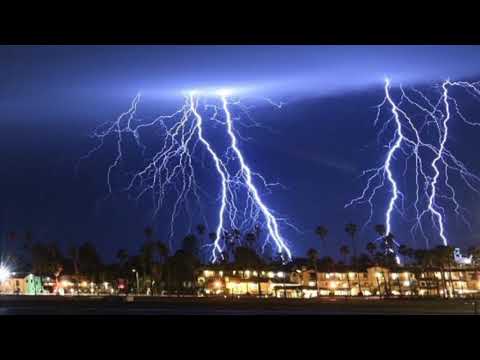
Lightning, thunder and rain fill the night sky March 5 in L.A.
Forecasters said it wasn’t typical for an atmospheric river, which carries warmer air, to produce hail. The frozen rain pellets were likely the result of a cold front pushing the storm through the region, which caused some instability in the atmosphere, likely contributing to the lightning display.
In one five-minute stretch alone, shortly after 8 p.m., the National Weather Service recorded 1,489 pulses of lightning off the coast, 231 over Santa Barbara County and 40 in Los Angeles County, said Kathy Hoxsie, a meteorologist with the weather service in Oxnard.
“It’s a lot,” she said. “We usually don’t get that.”
Lightning strikes briefly knocked out power at three Los Angeles International Airport terminals and the Santa Barbara airport. Other bolts sparked small fires and set palm trees ablaze across the region.
A Delta flight to Seattle returned to LAX after being struck by lightning, Los Angeles Airport Police Officer Rob Pedregon said. No injuries were reported.
People hoping to see any lightning display, Hoxsie noted, should do so from indoors. She said lightning could strike 10 or 12 miles away from a storm.
“It is dangerous for people to go outside and watch the lightning,” Hoxsie said. “People think they’re safe because it’s not on top of where they’re standing, but that’s not accurate.”
Twitter: @Hannahnfry
More to Read
Sign up for Essential California
The most important California stories and recommendations in your inbox every morning.
You may occasionally receive promotional content from the Los Angeles Times.
