Mystery of how rocks move across Death Valley lake bed solved
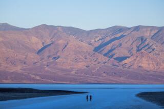
Reporting from Death Valley National Park, Calif. — The cracking sounds were ferocious. An ankle-deep, frozen lake in Death Valley National Park was breaking apart under sunny skies.
As cousins Richard Norris and James Norris watched, a light wind began moving huge floes of ice across the surface of the water and into rocks weighing up to 200 pounds. Propelled by the ice masses, the rocks began to slide across the slick, muddy bottom of the normally dry lake bed, known as the Racetrack playa.
“My god, Jim, it’s happening,” Richard yelled.
James Norris grabbed a camera.
Their photos last Dec. 21 provided the final evidence in solving a mystery of the Racetrack Playa that has long puzzled visitors and scientists: What mechanism moves rocks across flat dirt in the heart of the hottest, driest place on earth?
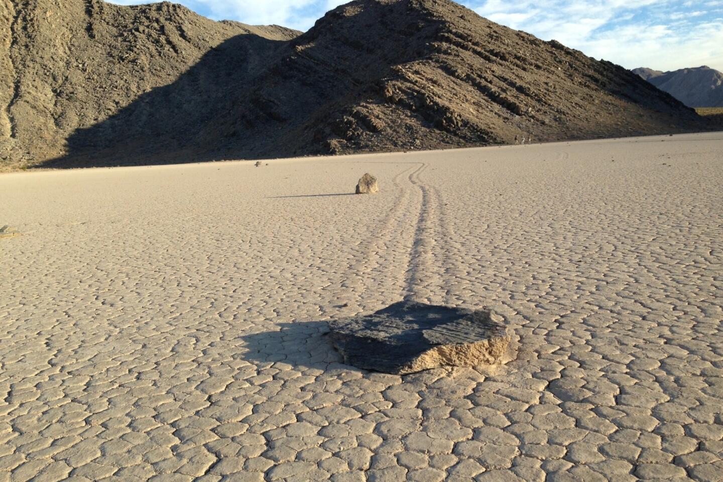
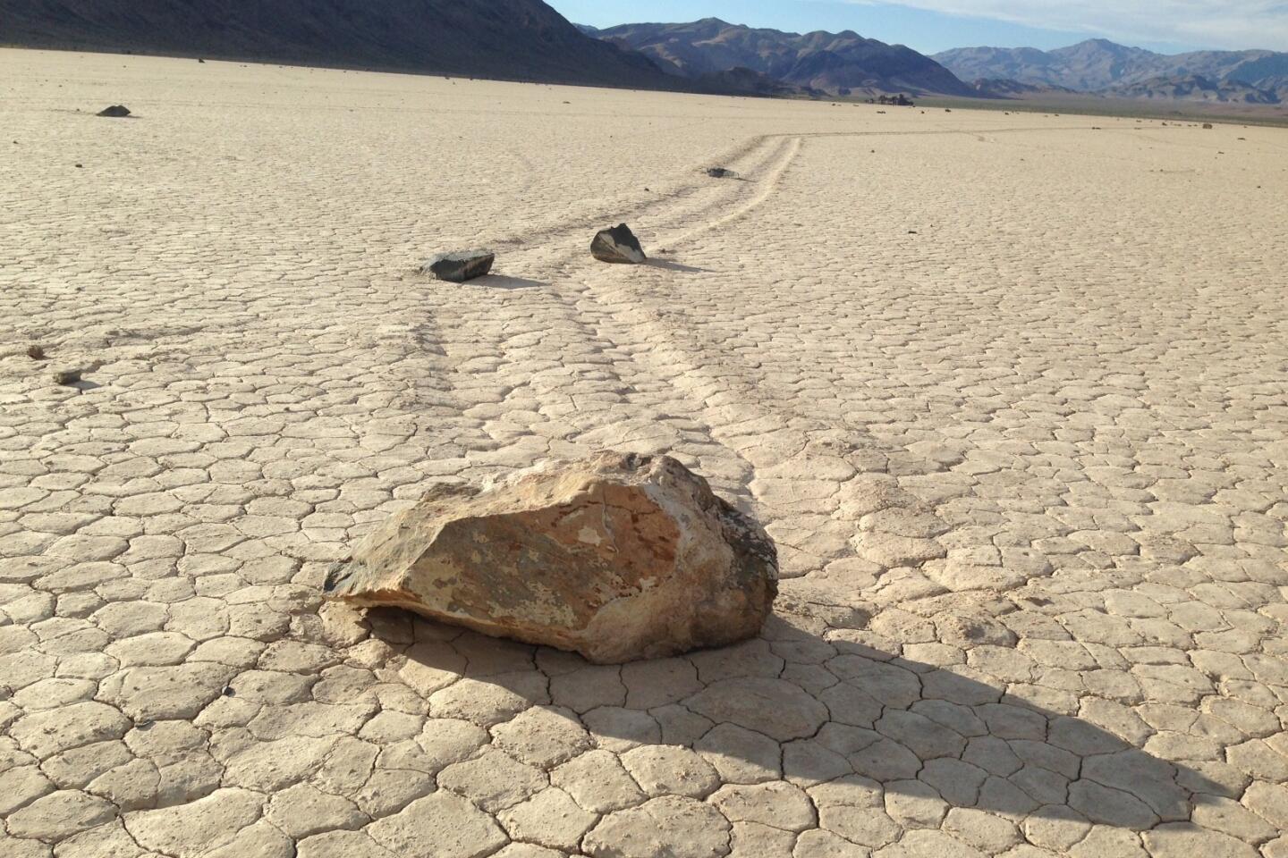
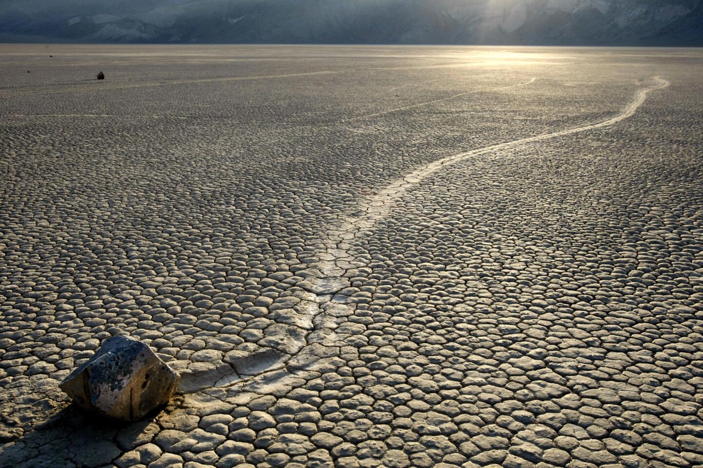
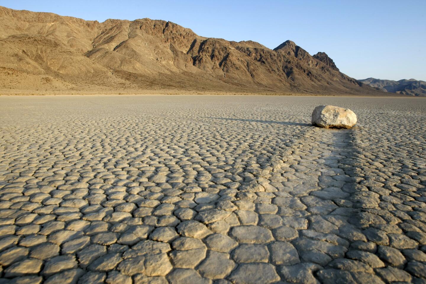
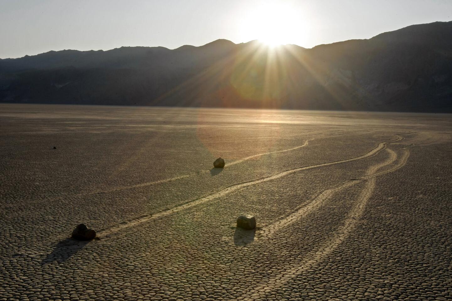
Rocks of various heft – some weighing 600 pounds or more – leave trails that wiggle like snakes or form complete loops or even rectangles. The trails are cut sharply into the earth but no other tracks are visible.
Theories over the decades have included sporadic hurricane-force winds when the surface is covered with rain water, or rocks carried across the mud by small rafts of ice, or UFOs.
But until the Norrises had an incredible stroke of luck that day last December, no one had scientifically verified the phenomenon. The findings were formally presented today in the online scientific journal PLOS ONE.
“I’m amazed by the irony of it all,” James Norris said, nodding toward the glistening playa earlier this month. “In a place where rainfall averages two inches a year, rocks are being shoved around by mechanisms typically seen in arctic climes.”
“And the movement is incredibly slow,” he added. “These rocks clock in at about 15 feet per minute.”
Geologists have been studying the moving rocks since 1948, when the first scientific study suggested they were driven by dust devils. One reason the mystery endured is that the movements are episodic, often with no motion for periods of decades until a precise series of natural events occurs.
The first requirement is rain in a parched climate. Next, temperatures must fall low enough to freeze the water before it evaporates. Then the sun has to come out and thaw the ice. Finally, wind has to blow strongly enough to break the ice into floes and move it across shallow water underneath. Even a light wind will do.
Ralph Lorenz, a researcher at the Johns Hopkins University Applied Physics Laboratory who had investigated playa rock movement for a decade, believed strongly enough that ice floes were the cause that he erected time lapse cameras in the area about seven years ago. But they failed to record the phenomenon.
The Norrises subscribed to a different theory, believing hurricane-force winds were the cause.
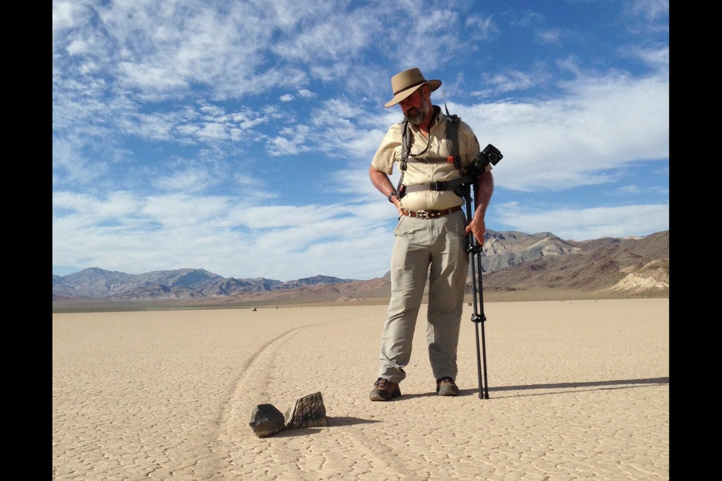
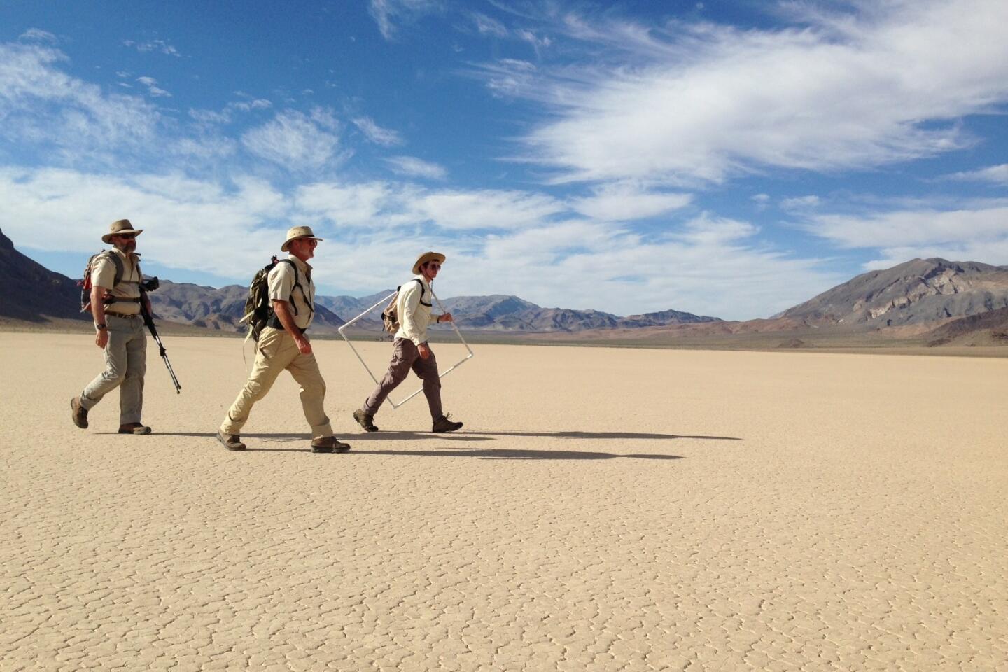
Richard Norris, 55, a paleobiologist at the Scripps Institution of Oceanography, and James, 59, a research engineer, launched their “Slithering Stones Research Initiative” in 2011.
Over the next two years, friends and relatives armed with permits from the National Park Service helped them install a weather station in the area and place 15 stones equipped with global positioning devices on its pancake-flat surface.
The “GPS stones,” which were engineered to record movement and velocity, were stationed at the southern end of the playa where rocks begin their strange journeys after tumbling down a cliff.
On Dec. 20, 2013, Richard and James Norris returned to inspect the instruments. “We found the playa covered with ice,” Richard recalled. “We also noticed fresh rock trails near shards of thin ice stacked up along the shoreline.”
The following afternoon, “we were sitting on a mountainside and admiring the view when a light wind kicked up and the ice started cracking,” he said. “Suddenly, the whole process unfolded before our eyes.”
“There was a side of me that was wistful,” James Norris added, “because the mystery was no more.”
A review of the weather data showed that a rare winter storm had dropped about 1 1/2 inches of rain and seven inches of snow on the region in late November. The playa was transformed into a shallow lake where the GPS stones recorded movements on sunny days with light winds following nights of sub-freezing temperatures.
James Norris’ photographs put it all in perspective. Panes of ice hundreds of feet across and as thin as 1/4-inch thick blew into rocks. The rocks slid along the slushy, slippery mud on trajectories determined by the direction and velocity of the winds.
The cousins first shared the news with Lorenz, whose specialty is the Saturn moon of Titan and who became one of the five authors of the PLOS ONE study.
“While it takes away the mystery, it also underscores what an amazingly rare and wonderful mechanism is at work there,” Lorenz said.
After viewing the photos earlier this month, Richard Friese, Death Valley’s hydrologist, said he was glad to see the matter resolved. But he said the park worries that visitors will flock to the remote playa, which is accessible by a rocky road that often strands ill-equipped motorists whose cars have multiple flat tires.
The Norris cousins’ fascination with the region began in the 1960s, when their fathers – who were brothers and noted scientists – took them on excursions to the forbidding wilderness of rugged mountains, buckled earth and geological mystery.
Standing beside a fresh zigzagging trail on the playa this month, under an evening sky filled with stars and bats, James Norris said, “Wouldn’t our fathers have loved to have known this?”
Follow the reporter on Twitter: @LouisSahagan
More to Read
Sign up for Essential California
The most important California stories and recommendations in your inbox every morning.
You may occasionally receive promotional content from the Los Angeles Times.
