Weather models say California likely to remain dry this winter
Dry conditions are likely to persist this winter across the Southland and most of California, according to a seasonal forecast prepared for the state Department of Water Resources.
But long-term forecasts always come with a big dose of uncertainty, and that is especially true this winter, when neither El Niño nor La Niña is expected to dominate weather patterns.
“We have to take it with a grain of salt,” said Jeanine Jones, DWR’s interstate resources manager. “But it’s a reminder that we should think about being prepared for 2014 being dry.”
The forecast, developed by a University of Colorado scientist, is based on statistical models that look at global weather patterns and compare them with the historical record to see what happened in California under those conditions.
The scientist, Klaus Wolter of the Cooperative Institute for Research in Environmental Sciences, predicted mostly dry conditions for the state, especially Southern California. But he said there was a slight chance that El Niño conditions could develop in the spring, bringing some late-season wet weather to the Southland.
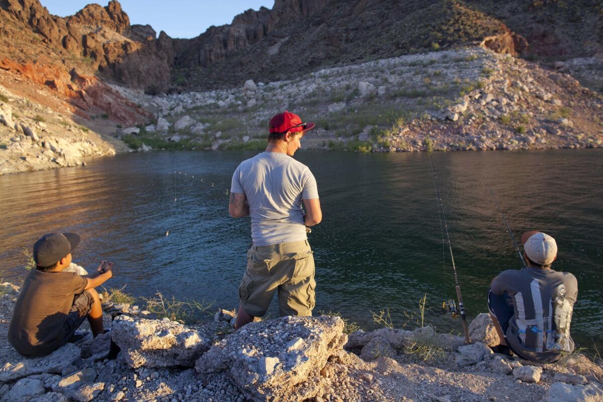
The outlook for the Colorado River basin, an important Southern California water source that is stuck in a severe, long-term drought, was a bit better. Winter precipitation in the basin could be near normal to drier than normal, according to the forecast.
“It’s heartening to say we may not be quite that dry” on the Colorado, Jones said, adding that the basin has experienced drought conditions in 11 of the last 14 years.
As a result of the drought years, Lake Powell and Lake Mead, the Colorado’s biggest reservoirs, are less than half full.
In California, statewide reservoir storage is about 69% of the norm for the date, thanks in part to record high precipitation in late 2012.
Although this year has thus far been the driest on record in many parts of the state, the calendar year is not what water managers pay attention to. They look at the water year, which runs from Oct. 1 to Sept. 30.
“Neither of the last two years were horribly dry from a water year standpoint,” Jones noted.
Then there are atmospheric rivers, the bands of atmospheric moisture from the Pacific Ocean that can dump huge amounts of rain and snow on the state, dramatically redrawing the precipitation picture in a matter of hours.
“We’re right in the middle of our productive water period, and these statistics can fluctuate wildly from one storm to the next,” Jones said. “We’re in a wait-and-see mode.”
bettina.boxall@latimes.com
Twitter: @boxall
