How to track Hurricane Hilary and get emergency alerts in Southern California
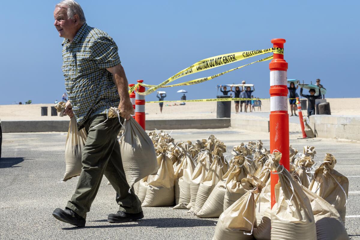
The vast majority of Southern California residents weren’t even alive the last time a tropical storm hit, back in 1939.
So with Hurricane Hilary approaching, you’re probably not drawing on a well of experience on how to prepare. For help on that front, check out The Times’ complete guide to storm safety preparedness.
In the meantime, here are tips for tracking the progress of Hilary and other storms rarely seen on the West Coast. Also in this story are links to the services you can sign up for that will notify you when different kinds of trouble are heading your way.
Granted, your response to an earthquake alert will be different from a flood warning. But whatever you’re facing, you need to know the severity of the risk to your home and your community. That’s where the alerts come in.
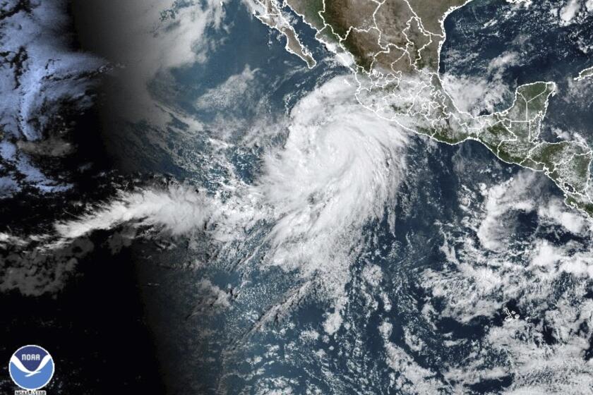
Tropical Storm Hilary threatens heavy rains, flash flooding, high winds and intense surf across Southern California this weekend. Here’s what to expect.
Hurricane tracking maps
The National Oceanic and Atmospheric Administration’s Central Pacific Hurricane Center offers multiple ways on its website to visualize the path of approaching hurricanes, cyclones, tropical storms and tropical depressions. The center’s maps include:
Projected arrival times of tropical-storm-force winds, which have sustained speeds of 39 to 73 mph
Areas most likely to be hit by tropical-storm-force winds
Probable reach of hurricane-force winds, which are equal to or greater than 74 mph
Areas at greatest risk of flash flooding over the next five days
The center’s feed on X, the social network formerly known as Twitter, is a good source of information and warnings too, as is the National Hurricane Center’s Facebook page.
Another source of hurricane tracking maps is WeatherBug. The information isn’t sliced and diced in as many ways as the hurricane center’s, but it delivers the most important information at a glance.
Severe weather and other regional emergencies
If you’ve got a cellphone, chances are good that you’ll automatically receive the Wireless Emergency Alerts broadcast by federal, state, tribal and local authorities. These include “imminent threat alerts” about extreme weather, disasters, active shooters and other emergencies in your area; Amber Alerts about possibly abducted children; and more routine public safety alerts.
For example, the California Office of Emergency Services used the system last year to send out a “severe alert” about the need to conserve energy. “Power interruptions may occur unless you take action,” it warned, urging recipients to “turn off or reduce nonessential power” until 9 p.m. (It worked; blackouts were avoided.)
Support our journalism
This article on Hurricane Hilary is free for all readers. Support our journalism with a subscription to receive more storm coverage.
This system can also deliver text messages from the president in the event of a national emergency. So far, that particular capability has been used only once, in a test five years ago.
Verizon, AT&T and T-Mobile all deliver Wireless Emergency Alerts at no charge to customers, as do some prepaid phone services, but older mobile phones may not be able to receive the messages or take advantage of the system’s more advanced features. More compatibility information is available from Verizon, AT&T, T-Mobile and other service providers’ websites.
Hurricane Hilary is likely to make landfall in Los Angeles as a tropical storm, bringing heavy rains and potential flooding. Here’s what you can do now to prepare, and how to stay safe when the storm arrives.
Local emergency notifications
The state’s counties have their own alert systems to notify participants about local public safety emergencies. In Los Angeles County, the system — Alert LA County — sends out messages via text, phone call or email when residents need to evacuate immediately, to prepare to evacuate, or to shelter in place. In other words, it’s for really serious stuff.
The notifications are free, but you have to sign up for them. To do so, visit the “Stay Informed” page on the Ready LA County site.
The city of Los Angeles, meanwhile, offers an alert system called NotifyLA that can send notifications via text, email or phone call. You can sign up through Everbridge, which operates the system. For other cities’ alert systems, check out this list of links provided by L.A. County.
Finally, Everbridge’s Nixle platform carries local public safety information from numerous agencies, including the Los Angeles Police Department, the L.A. County Sheriff’s Department and the California Highway Patrol. Topics covered include traffic tie-ups, criminal activity, missing persons and severe weather.
You can sign up for text alerts by texting your ZIP Code to 888777. Those messages will count against your monthly allotment, if your mobile carrier charges you for text messaging. As an alternative, you can download the Nixle app and receive the alerts through the internet instead of texts.
An unprecedented tropical storm warning is in effect from the California-Mexico border to Point Mugu and for Catalina Island.
NOAA Weather Radio
If you don’t have a smartphone or just want a backup system for emergency alerts, you can tune in to the National Oceanic and Atmospheric Administration’s broadcast network.
NOAA Weather Radio stations pump out an around-the-clock stream of official National Weather Service warnings, watches and forecasts. But they also serve as “all hazards” alert systems, transmitting warnings and “post-event information” about natural disasters, environmental hazards and public safety incidents.
There’s just one catch: NOAA Weather Radio operates on frequencies that your typical car radio can’t receive. You’ll need a specialized device — NOAA‘s website offers a list of radios and retailers that sell them
Flex Alerts and other power issues
If you’re a customer of Southern California Edison, visit the company’s Preference Center to sign up for alerts by email, text or phone call. In addition to notifications about Flex Alerts and scheduled blackouts, you can be alerted about repairs and peak rate periods.
In the city of Los Angeles, you can sign up for text or email alerts about power issues on the L.A. Department of Water and Power website.
Customers with San Diego Gas & Electric will need to download an app to get their alerts. And if you’re in Pacific Gas & Electric’s turf, go to the alerts page on its website to sign up for notifications about outages, rates, scheduled repairs and other issues.
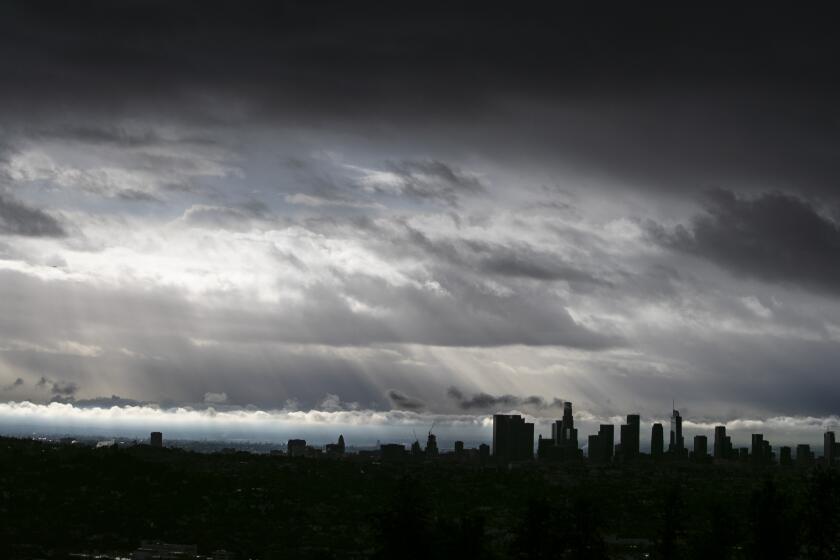
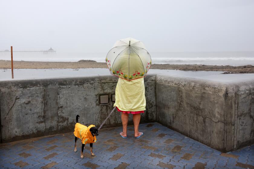
Although Hurricane Hilary may not be as strong when it reaches California, it is still expected to drop a considerable amount of rain on the region.
Tsunamis
If the earth is shaking under the ocean instead of under your feet, that raises the possibility of a tsunami. It’s not as unusual an event as you might think; since 1880, a tsunami has hit Los Angeles County every three to four years on average.
Granted, most have been pretty meek by the time they reached Venice Beach. But still, the potential is there, as we saw in 2011, when a tsunami triggered by an earthquake off the coast of Japan caused $100 million in damage to California harbors and ports.
The feds will transmit tsunami warnings over the Wireless Emergency Alert system and NOAA Weather Radio. But if you’d like to hear more directly from the government’s Pacific Tsunami Warning System, you can check its live online feed or follow its Twitter posts.
Wildfires
The California Department of Forestry and Fire Protection, or Cal Fire, offers to send you text messages to keep you updated about fires in your area. You can sign up on the Ready for Wildfire site.
While you’re there, you can also create a wildfire readiness plan, including steps you can take to make your property less vulnerable to fire and to be ready for an evacuation order. The plans are customized to your location and living situation.
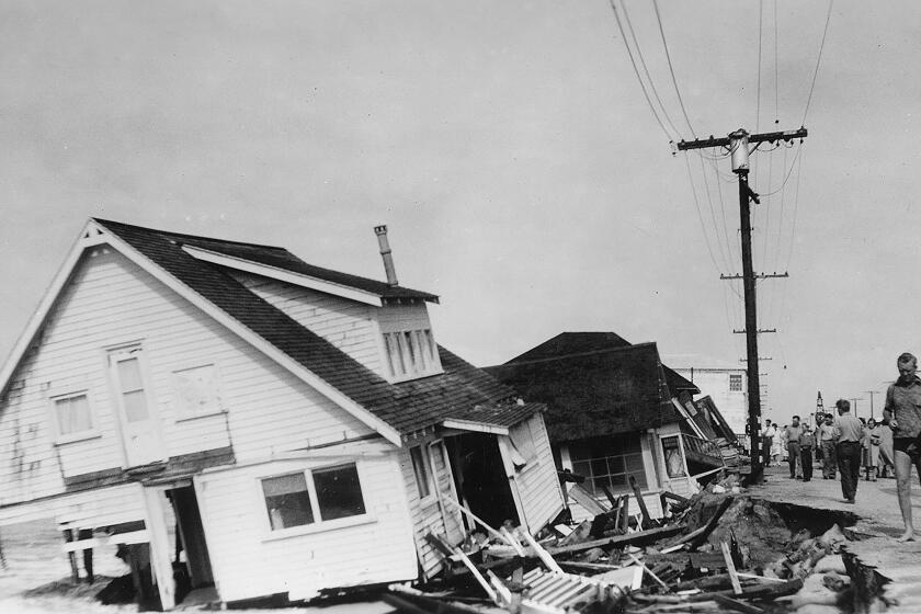
Long before Hurricane Hilary, ‘El Cordonazo’ or ‘the Lash of St. Francis’ devastated Long Beach and San Pedro in September 1939.
Earthquakes
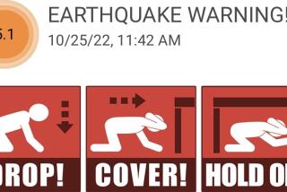
ShakeAlert is an earthquake detection and warning system developed by the U.S. Geological Survey with the help of multiple partners in government and academia. It is designed to send alerts when the first signs of a major earthquake are detected, giving people a few precious seconds or even tens of seconds to prepare for larger shock waves.
Earthquake warnings may be sent over the Wireless Emergency Alert system, which reaches most cellphones in use today (see below). And smartphones in California running Google’s Android operating system have the built-in ability to receive ShakeAlert messages.
Beyond that, there are at least three free apps available for Apple and Android smartphones that will receive and display ShakeAlert messages in this state: MyShake from UC Berkeley, QuakeAlert USA from Early Warning Labs, and SD Emergency, a general-purpose disaster-preparedness app by San Diego County.
Times staff writer Karen Garcia contributed to this report.
About The Times Utility Journalism Team
This article is from The Times’ Utility Journalism Team. Our mission is to be essential to the lives of Southern Californians by publishing information that solves problems, answers questions and helps with decision making. We serve audiences in and around Los Angeles — including current Times subscribers and diverse communities that haven’t historically had their needs met by our coverage.
How can we be useful to you and your community? Email utility (at) latimes.com or one of our journalists: Jon Healey, Ada Tseng, Jessica Roy and Karen Garcia.
More to Read
Get earthquake-ready in six weeks
From building a kit to buying insurance, our Unshaken newsletter course will help you prepare.
You may occasionally receive promotional content from the Los Angeles Times.
